
written by John Edmondson
Ingleborough Linear Walk
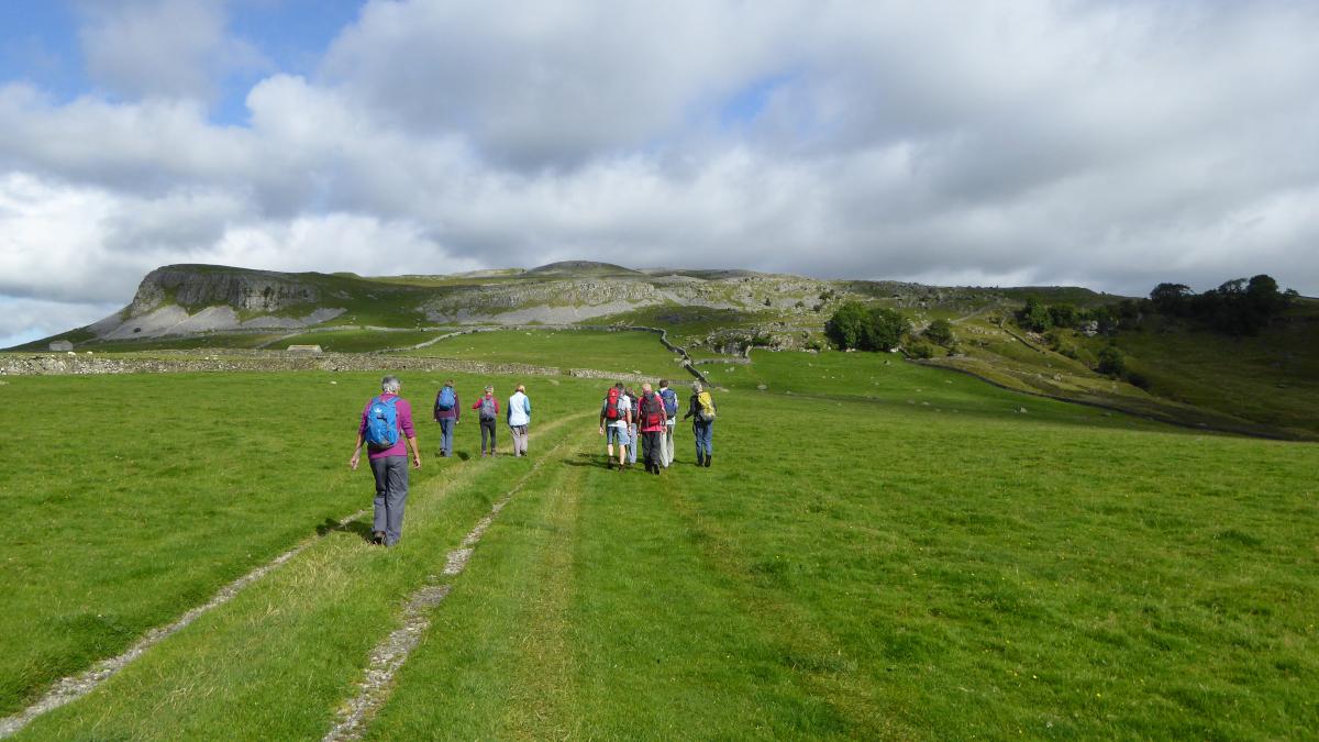
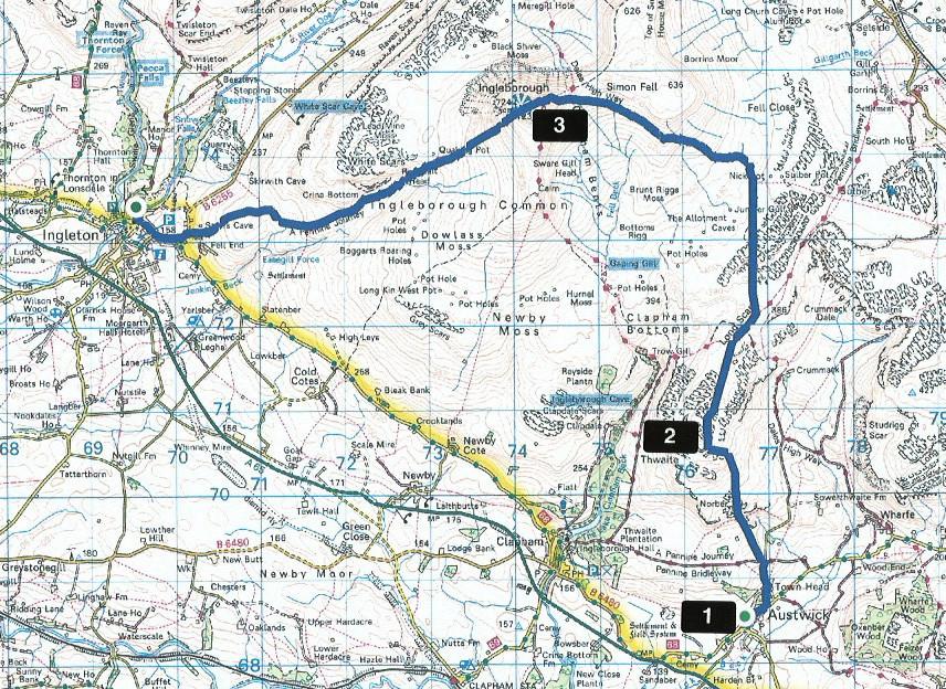
Ingleborough is the most popular mountain in Yorkshire and a favourite for many who walk mostly in the Lake District. This is a linear route from Austwick to Ingleton, starting with a bus ride from Ingleton Community Centre (beside the main car park). There’s a two-hourly service on Mondays to Saturdays and a good one to catch departs at 11am.
The walk begins from the bus stop opposite Austwick church (grid reference SD 767 684).
Information:
Distance: 9 miles; ascent: 2,300 feet
Time: 4.5 hours
Terrain: fell paths and tracks.
Map: OS Explorer OL2
Route
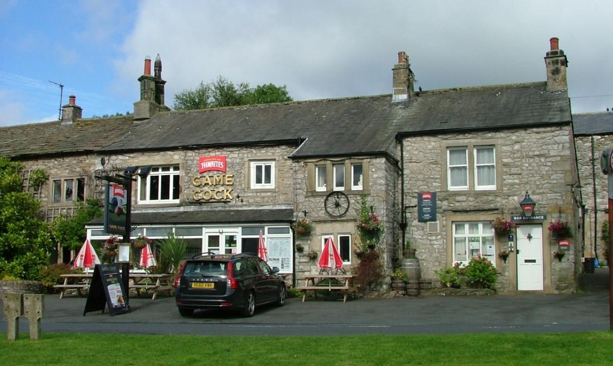
1 From the bus stop, walk past the church on the right and bear left, to pass the Game Cock inn and the primary school. Turn left onto Town Head Lane and walk up the hill. Turn left onto the Pennine Bridleway and after 50 yards right over a ladder stile or through the gateway. Keep to the right of the wall and go through a wicket gate below the crags. Follow the wall to the base of the fallen rocks then turn right up the slope to a broken fingerpost signed ‘Crummack.’ Follow the path uphill and around to the right past big boulders and cross over a ladder stile in the wall corner. Keep to the left below the crags and head up to the head of the valley, at the top of which turn right, cross over the limestone pavement and cairns marking the top of Norber.
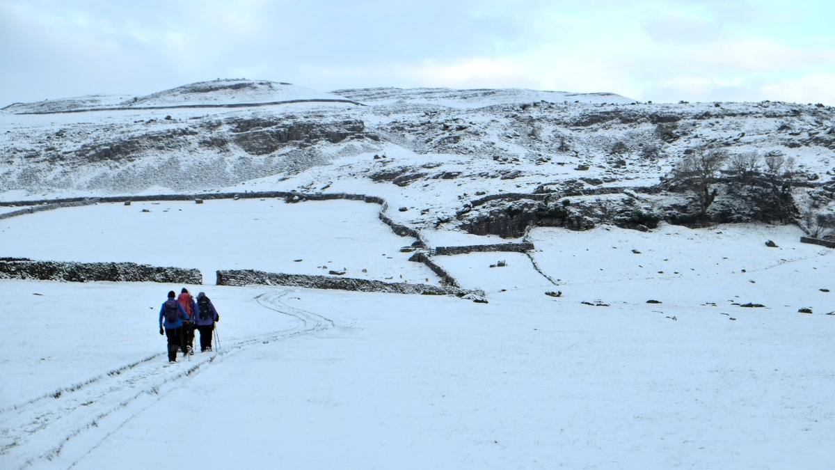
2 Drop down below the short escarpment and head north to merge with a bigger path near a cairn. Bear left after a waymarker: the path now heads towards Ingleborough going through a gate with a fingerpost pointing back to ‘Thornton-in-R.’
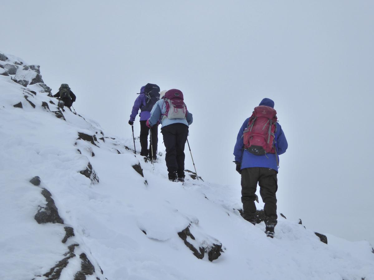
Walk past the stone ruin of Nick Pot shooting hut then follow the path up the stone slab steps. After crossing a step stile the path ascends gently towards Ingleborough, passes an information board about the formation of the mountain from swamps and glaciers, then climbs steeply to the top via a well-defined footpath. Views of the Ribblehead viaduct (as featured in the ITV series, Jericho) can be seen below.
3 The summit is marked by a survey pillar and a wall shelter. During the Iron Age, there was a hilltop fort here with a rampart wall almost half a mile in circumference. It was one of the highest hill forts in England. The last part of the name Ingleborough comes from the Old English word burh, meaning 'a fortified place.' Ingleborough was once thought to be the highest mountain in the country, although at 2,373 feet above sea level it is actually 46 feet lower than the neighbouring Whernside.
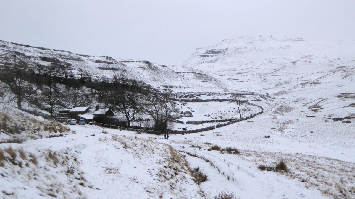
The path down to Ingleton is easy to follow, initially descending steeply on the southwest side of Ingleborough. The village itself is not visible, which can be disconcerting for the weary walker, but don’t be dismayed, there’s no more climbing to be done! After the path becomes more gentle it passes Crina Bottom farmhouse with a wind turbine and then becomes a gravel track to join the road leading into Ingleton village.
NB: Restrictions on space mean that this article provides a general summary of the route. It is advisable for anyone who plans to follow the walk to take a copy of the relevant Ordnance Survey map.


Comments: Our rules
We want our comments to be a lively and valuable part of our community - a place where readers can debate and engage with the most important local issues. The ability to comment on our stories is a privilege, not a right, however, and that privilege may be withdrawn if it is abused or misused.
Please report any comments that break our rules.
Read the rules here