
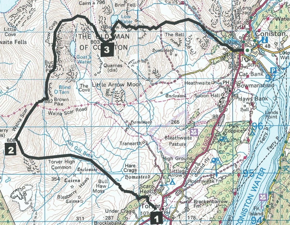
THIS is a hard walk involving some easy scrambling and is rewarded by commanding views over Coniston Water to the east and Dunnerdale to the west, writes JOHN EDMONDSON. Catch the X12 bus at 9.30am (Monday-Saturday) from Coniston to Torver and walk back to Coniston across five high fells. For a less strenuous walk, after climbing White Maiden the route can be shortened by descending to Coniston via the Walna Scar Road.
Start walking from Torver (Map ref SD 283 941, postcode LA21 8BB).
Information:
Distance: 7.5 miles, ascent: 2,800 feet
Time: 5 hours
Terrain: fell paths and open fell, boggy in parts
Map: OS Explorer OL6
Route:
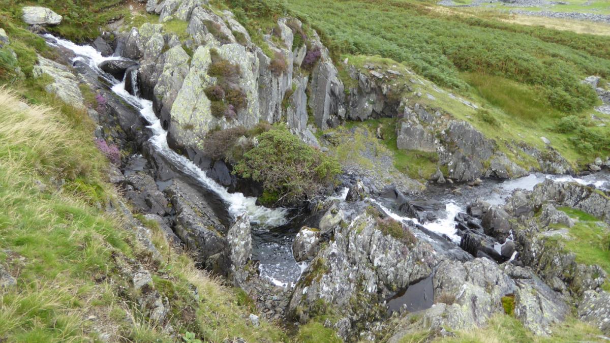
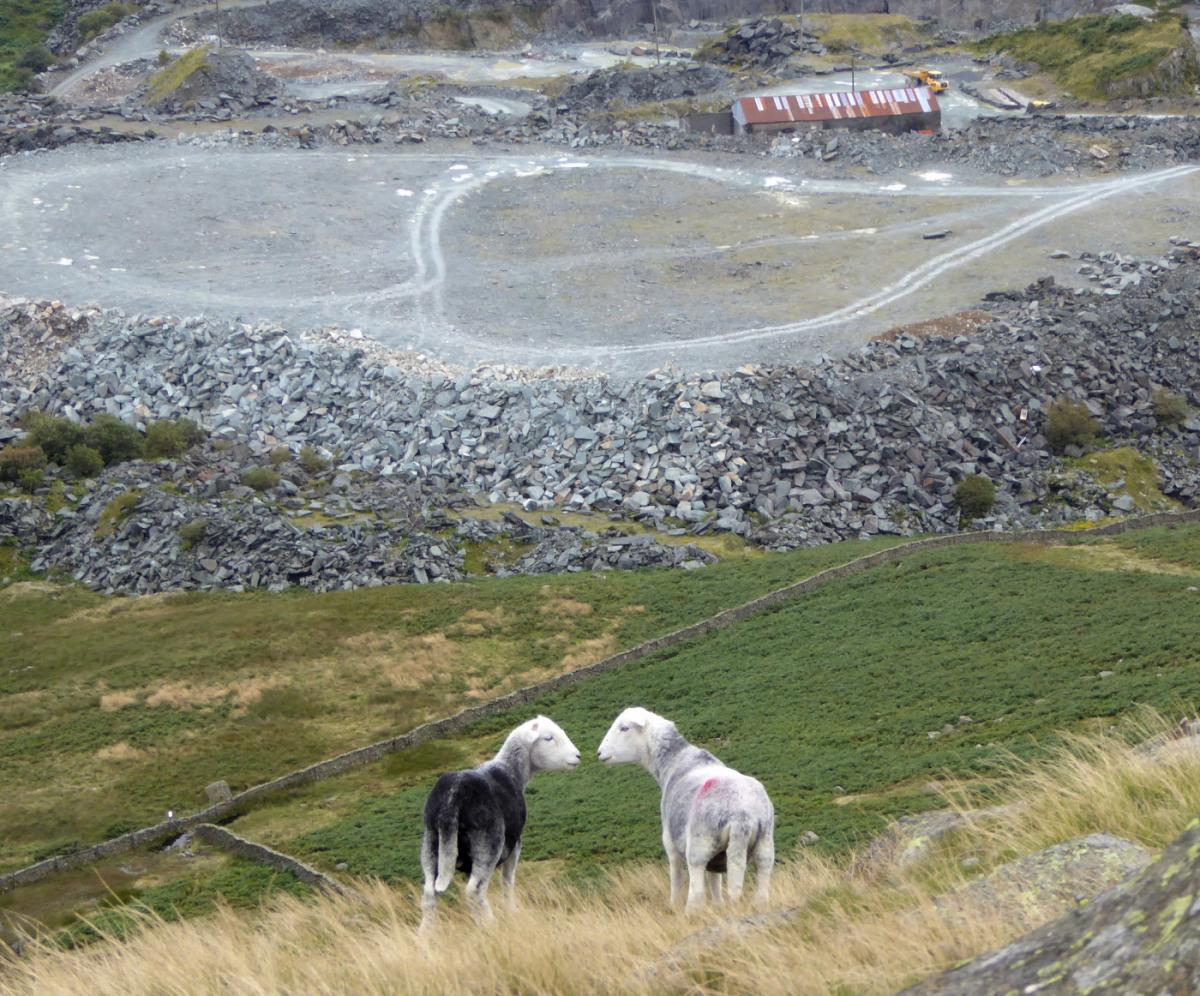
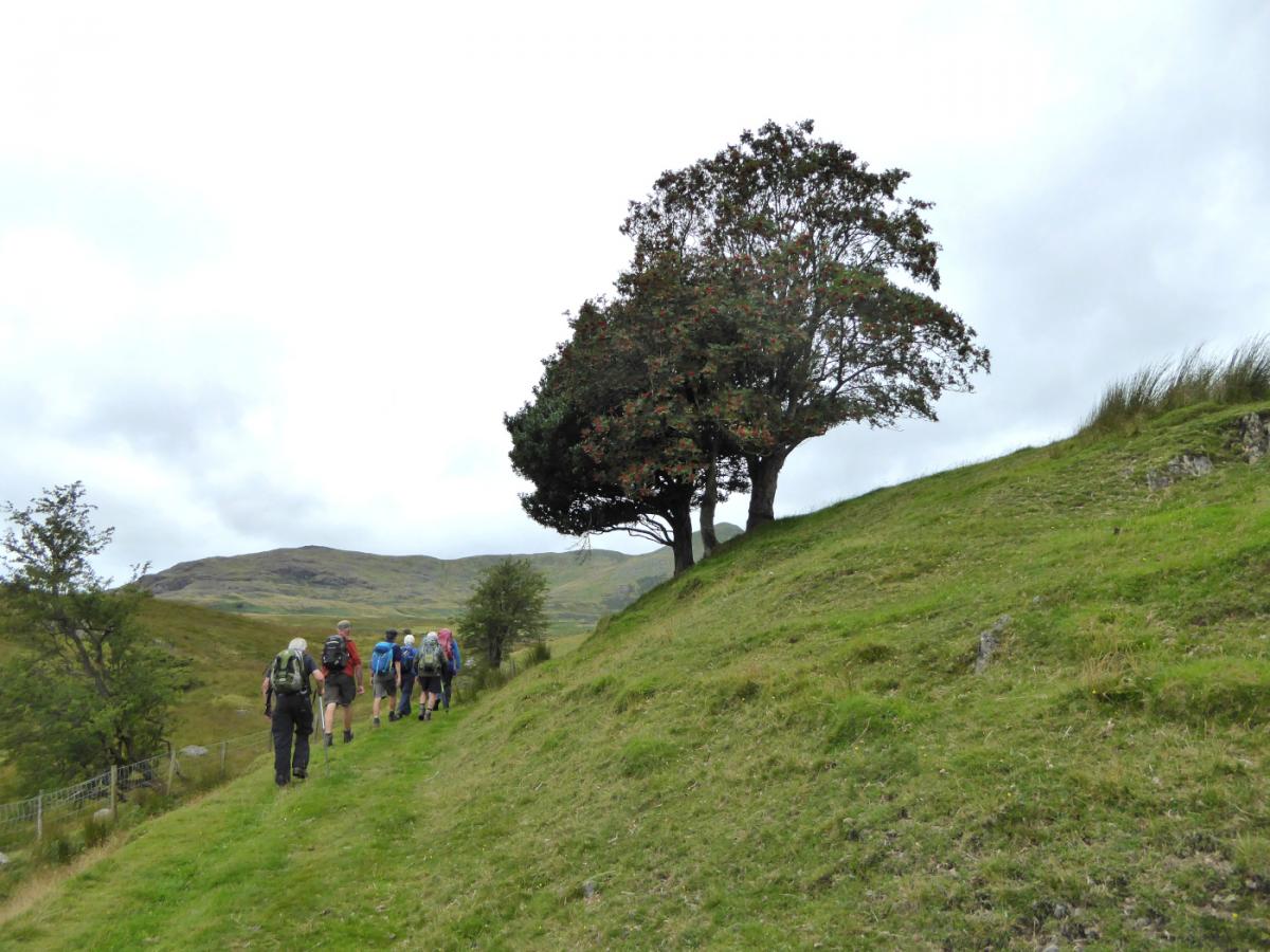
1 Follow the path on the right of Wilson Arms, signed Ash Gill. Go straight on up a stony path, past and around the right of a white house and up a stony path. Go through a gate followed by a high gate then bear left, crossing a small beck via a large slate slab. Continue uphill past an oak tree to a gate then alongside a wall on the left. Turn left over a fence stile to Bull Hall Moss. Go over a wooden footbridge and then across a boggy area. Keep to the left of Ash Gill Beck (avoid crossing a fence stile on the right) and follow the main path over bracken. Bear left where the path starts to level to cross a narrow gill below a rowan tree and continue ascending, passing to the left of Ash Gill slate quarry to an attractive waterfall just above it. Walk to the left of the waterfall along a faint path, continuing to follow the line of Ash Gill to beside another waterfall. Continue uphill in the same direction to start ascending a rocky slope. Views of Broughton Moor quarry and Morecambe Bay appear on the left. Broughton Moor slate quarry has been worked since the middle of the 19th Century and the mid green stone is still extracted today. Walk up a gorge with a cliff on the left then scramble up a rock strewn grassy slope to above the cliff. Stickle Pike and the Dunnerdale Fells can now be seen to the left. Walk up to the wall ahead and follow it uphill to the top of White Maiden, 1,995 feet above sea level.
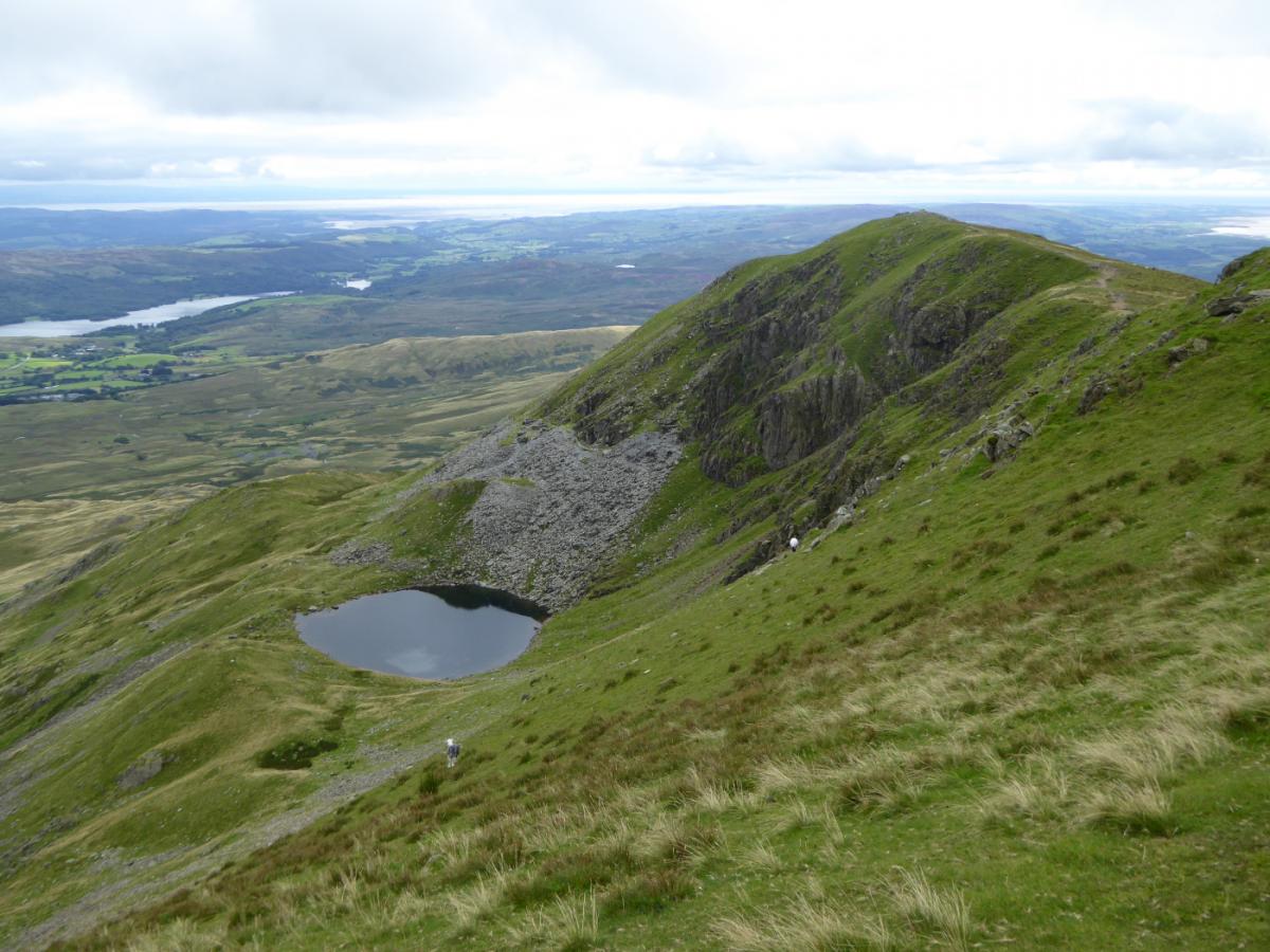
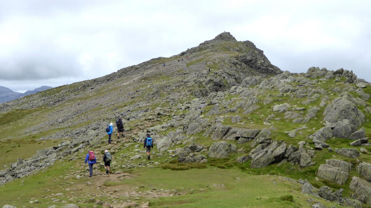
2 Walk along the Walna Scar ridge in a north-easterly direction to its 2,037-feet summit heading towards the clearly visible track leading to Brown Pike ahead. Descend to the Walna Scar road. This ‘green road’ was once an important route for transporting slate and other goods between Coniston and the Dunnerdale valley. To shorten the route and avoid any further climbing turn right and follow the Walna Scar Road all the way to Coniston. To continue, cross the track to ascend Brown Pike (2,238 feet). Enjoy views of the length of Coniston and even as far as the Howgills beyond. To the south are Blind Tarn, Beacon Tarn and Morecambe Bay. Continue along the ridge and up a stony path following cairns to the top of Dow Crag (2,552 feet).
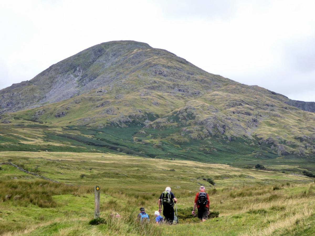
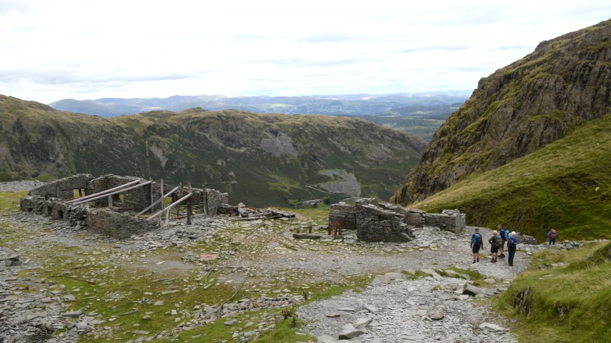
3 Descend to the col and re-ascend to Coniston Old Man bearing right on a stony path leading to the 2,635-feet summit. Descend ahead by a stony path going through the old copper mine works and return to Coniston by any of the popular well-defined footpaths.
Next week: Gummers How
NB: Restrictions on space mean that this article provides a general summary of the route. It is advisable for anyone who plans to follow the walk to take a copy of the relevant Ordnance Survey map.


Comments: Our rules
We want our comments to be a lively and valuable part of our community - a place where readers can debate and engage with the most important local issues. The ability to comment on our stories is a privilege, not a right, however, and that privilege may be withdrawn if it is abused or misused.
Please report any comments that break our rules.
Read the rules here