
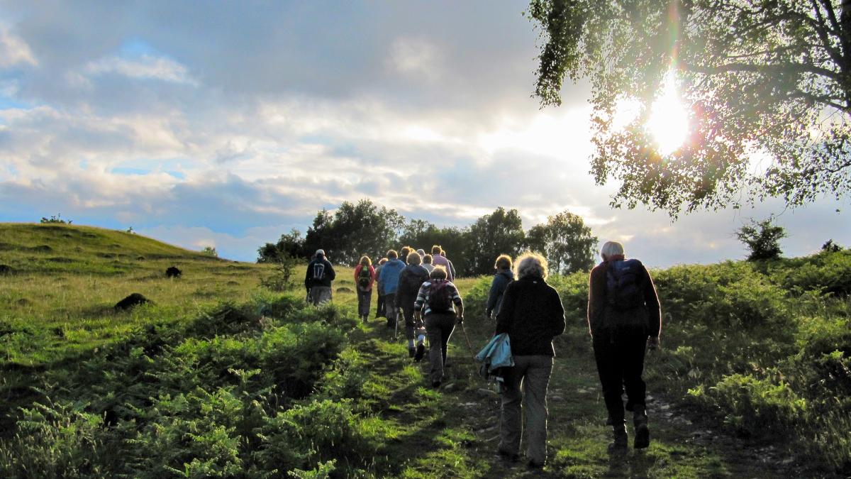
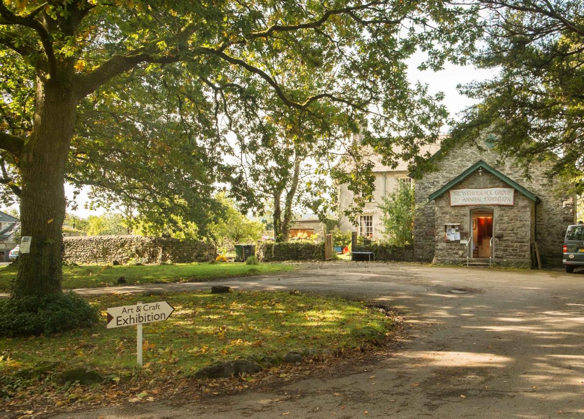
WITHERSLACK, which means hollow (or gill) in the wood in old Norse, is an excellent place to go for a walk, writes JOHN EDMONDSON. It’s easy to get to via the A590 and has the added attractions of a pub and a community shop. As well as exploring quiet woodlands this route also visits two lovely viewpoints and a nature reserve.
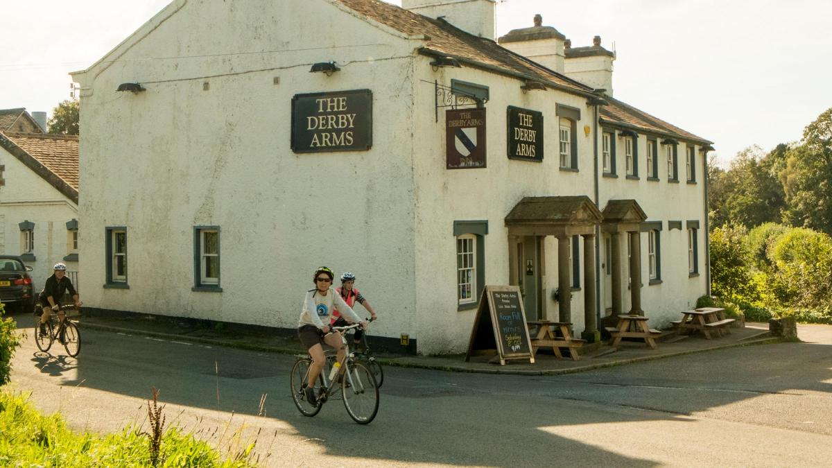
Park near the Derby Arms, Witherslack. Map reference SD 441 829, postcode LA11 6RH.
Information:
Distance: 4 miles with 600 feet of ascent.
Time: 2 hours
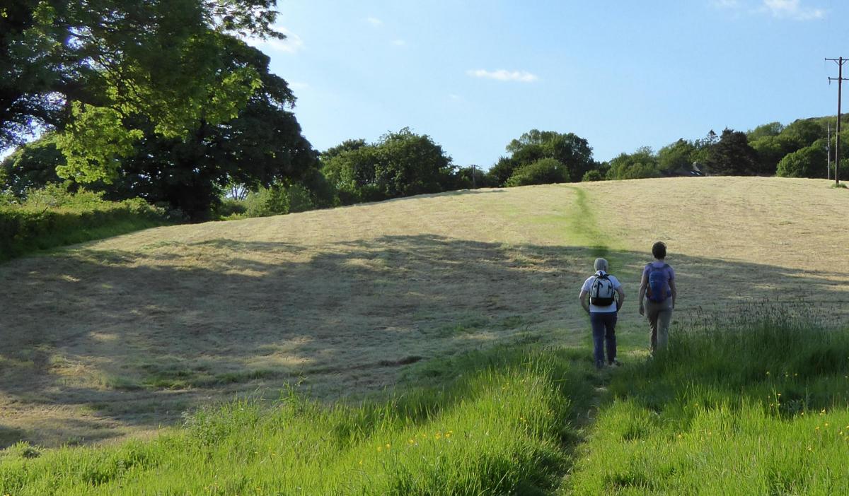
Terrain: grassy paths and tracks.
Map: OS Explorer OL7
Route:
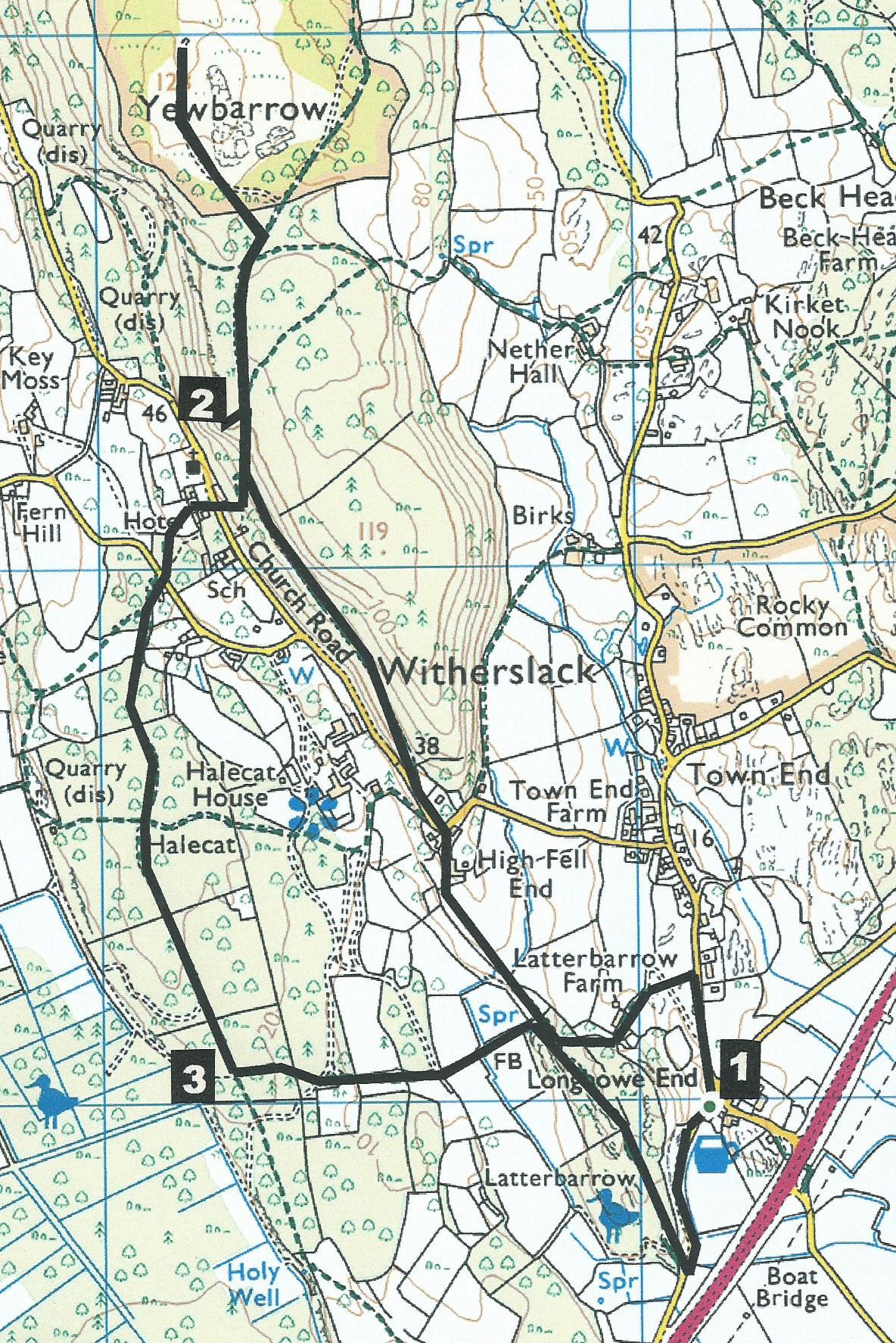
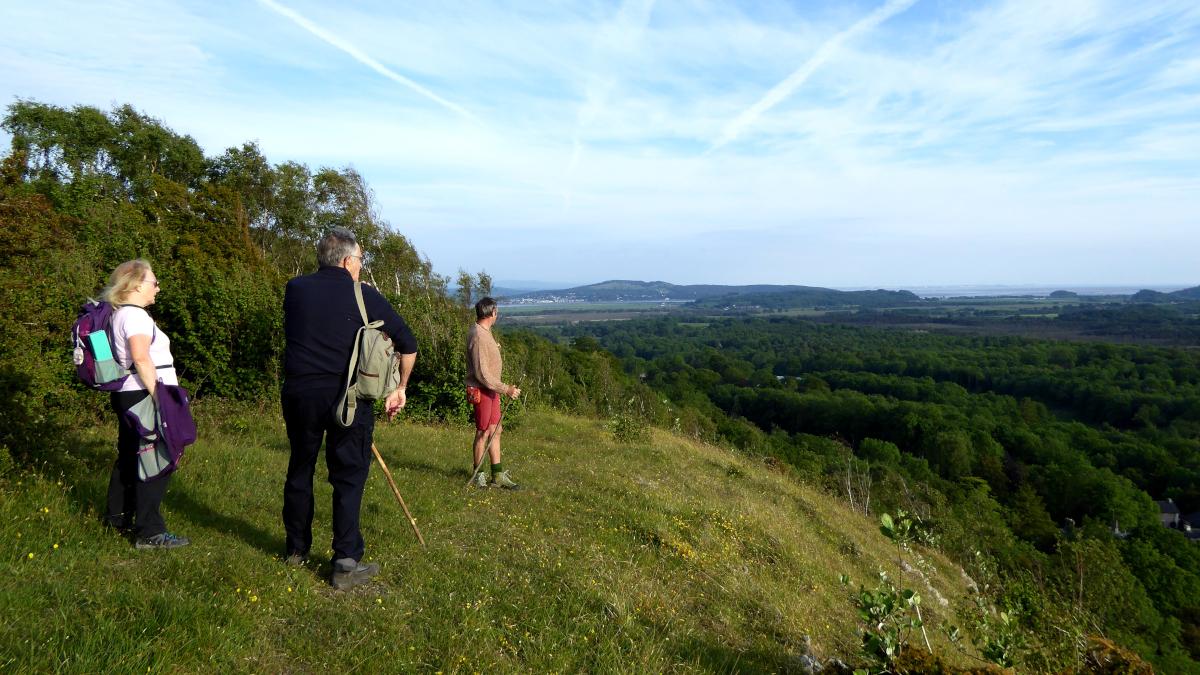
1 Walk along the road signed Witherslack and after 300 yards turn left onto a footpath around the right of a mound to Witherslack Farm. Pass by the front of the white house then up to a wooden gate on the right. Keep to the wall on the right then go over a wall stile and down past brambles to a track. Turn right and keep on the bridleway ahead to a gate, across a field, through a gate and past High Fell End cottages. Turn left onto the road; walk around the right hand bend and after passing the entrance to The Croft turn right onto a bridleway signed Witherslack Hall. Go up through woods and keep straight on the bridleway. At the top of the slope turn left through a coppice to visit a splendid secluded viewpoint.
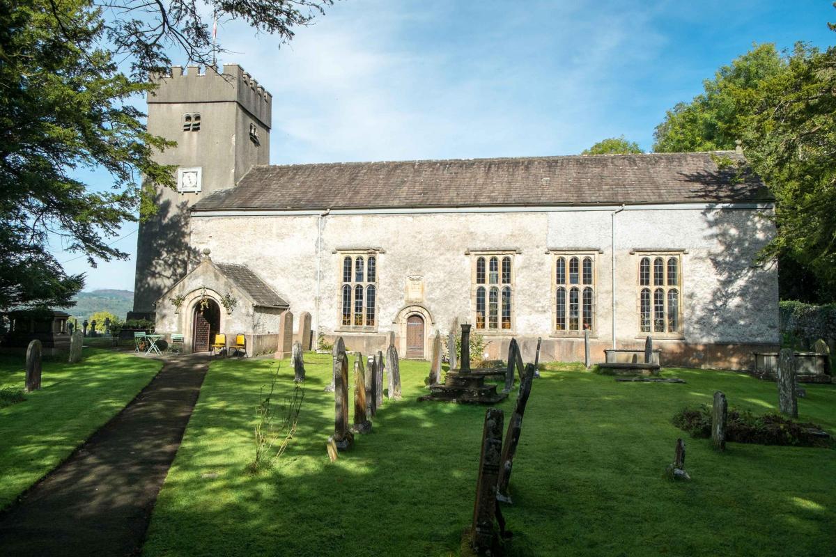
2 Return to the bridleway and turn left to continue in the same direction as before. On reaching a gate go to the left and climb to the top of Yewbarrow. This open area offers great views over Arnside to the south as well as the lovely Winster Valley to the west. Return in the same direction to beyond the turning of the first viewpoint then turn right onto a waymarked footpath down a steep winding path to meet a road opposite Barwick Hall and Witherslack church. Cross the road and go along a gravel path to the left of the hall and vicarage. Turn sharp right onto a hedged path indicated by a waymarker. Go through a wicket gate and keep to the side of a fence on the left then right through a metal gate, down some steps and across the road to Blea Crag on the footpath signed Slate Hill and Cat Crag. Go straight along the track past houses then into woodland on a grassy track. Keep straight on the larger track at a crossing of paths. The track goes through a wide wall gap. After passing a big larch tree look for a small fingerpost on the left.
3 Turn left and cross a wall stile. On meeting a grassy track bear left, following waymarkers across another track to a gate, then immediately right and past a hawthorn tree. Go through a gate then alongside a wood on the left to a gate on the right of an enclosure in the corner of the field. Continue in the same direction along the left side of a field and across a wooden footbridge in the corner. Walk past a new plantation into mature woods then up a slope to meet the bridleway that was followed on the way out. Turn right onto this track but this time go past the path used before. Go through a gate into Latterbarrow Nature Reserve, keeping left as shown by a waymarker. On meeting the old road turn left and return to the Derby Arms.
NB: Restrictions on space mean that this article provides a general summary of the route. It is advisable for anyone who plans to follow the walk to take a copy of the relevant Ordnance Survey map.


Comments: Our rules
We want our comments to be a lively and valuable part of our community - a place where readers can debate and engage with the most important local issues. The ability to comment on our stories is a privilege, not a right, however, and that privilege may be withdrawn if it is abused or misused.
Please report any comments that break our rules.
Read the rules here