
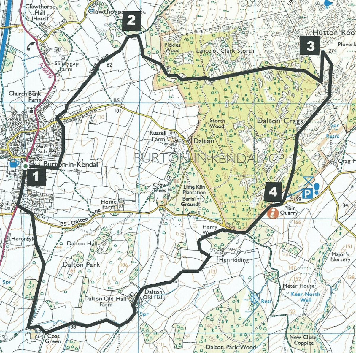
THIS walk explores the nature reserve and limestone pavement of Dalton Crags, writes JOHN EDMONDSON. After reaching the summit of Hutton Roof it descends to Plain Quarry car park then continues along pleasant pastoral paths around Dalton Park before returning to Burton-in-Kendal.
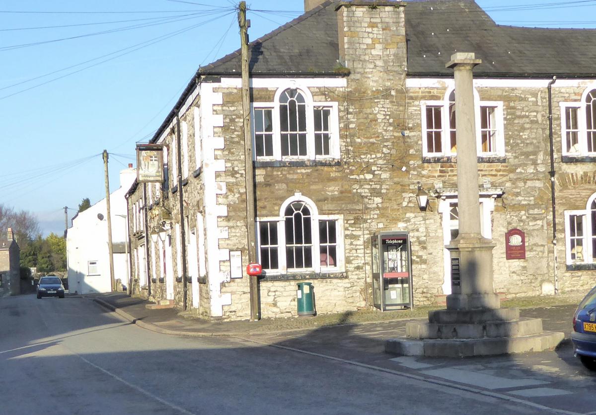
Start from the market cross in Main Street, Burton-in-Kendal (map reference SD 529 764, postcode LA6 1LR).
Information:
Distance: 6.5 miles with 900 feet of ascent
Time: 3 hours
Terrain: grassy paths, woodland and about half a mile of road
Map: OS Explorer OL7
Route:
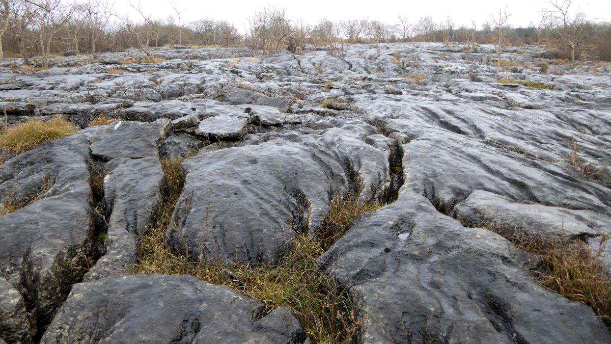
1 Follow the bridleway in the left corner of the square behind the Market Cross. The track bends left at the top of a slope and goes along the edge of a field above houses. Cross Vicarage Lane to continue along the bridleway (Slape Lane) signed Burton Fell. Pause at the panoramic viewpoint to identify landmarks shown on the display board. Follow the track to ascend beside woodland and turn right by a wooden bench into Hutton Roof Crags Nature Reserve at Pickles Wood. An information board explains how the limestone pavement was formed and the wealth of plants and animals it supports.
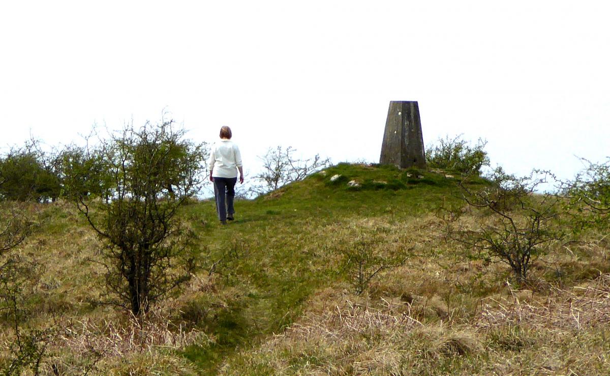
2 Turn left at the first Wildlife Trust waymarker but go straight ahead at waymarker 4, alongside a wall and over a stile next to a gate. Continue uphill beside the wall then turn right into woodland at a red-topped post. Follow the marker posts uphill and on to open fell beside a huge limestone pavement on the left. Walk past a memorial bench and continue uphill, looking back from time to time to enjoy the view. Walk past an enclosure of solar panels for bore hole drilling water treatment then through a kissing gate in the wall corner and up the trig point at the 900-feet summit of Hutton Roof.
3 Turn right and follow a path going down along the line of a wall on the right. Cross the wall by a gated ladder stile and follow the path over open ground to a stile into woods. Turn left in the woods, over a mound and down into Plain Quarry car park.
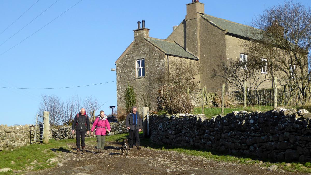
4 Exit the car park, turn right and walk down the road. Cross to the left before the right hand bend and at the second of two tracks on the left (signed Henridding) join the footpath into woods alongside the road. Turn left after a wall stile and cross the meadow to a gate in the wall opposite. Walk along the top of two meadows and through a gateway with a fingerpost. Turn right, cross a ladder stile and go down the right side of the meadow to a waymarker and fence stile beside a large ash tree. Continue down towards Dalton Old Hall farm and along the stony farm track. Where the track starts to ascend, turn right (towards a distant wind turbine), then left through a gateway on the flat valley bottom, across a small beck to a track around Coat Green farm.
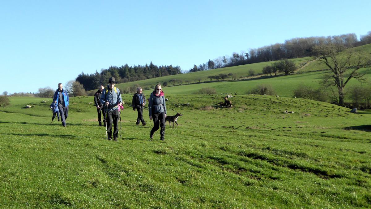
5 Turn right onto the footpath signed Burton along a hedged track continuing in the same direction towards a large house. Turn left beside a wire fence then right through a wooden gate with stile. Walk up to a stile on the left of a holly wood to Dalton Lane. Turn left and at the A6070 right to the centre of Burton.
NB: restrictions on space mean that this article provides a general summary of the route. It is advisable for anyone who plans to follow the walk to take a copy of the relevant Ordnance Survey map.


Comments: Our rules
We want our comments to be a lively and valuable part of our community - a place where readers can debate and engage with the most important local issues. The ability to comment on our stories is a privilege, not a right, however, and that privilege may be withdrawn if it is abused or misused.
Please report any comments that break our rules.
Read the rules here