

Technology is continuously advancing in all industries, and agriculture is no exception.
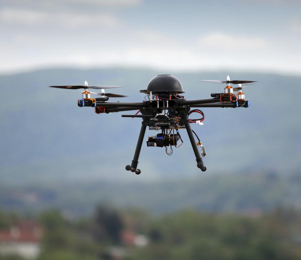
The use of drones is on the rise, not only for precision farming, but in the effective marketing and selling of farms and agricultural land.
Carlisle, Kendal and Durham-based H&H Land and Property is always keen to embrace latest innovations and have been increasingly utilising drone technology over the last 12 months.
Until now, farmers, surveyors and potential buyers have had to rely on walking the land, and images taken through a manned aerial flight, to get a sense of the type of land and to identify boundaries, water courses and features of the land. With the use of drones, it is possible to easily gather data from previously unreachable areas and display the farm accurately as a whole.
“The use of drones allows us to effectively display and present the whole farm, including areas which were previously inaccessible in a vehicle. For marketing purposes, we use both still and video visuals which has been captured by drones and the results are incredible,” said Tom Armstrong, associate director of H&H Land and Property.
“We’ve been using drone technology increasingly to market land, farms and property. The major benefit is that it gives buyers a much more accurate understanding of the land and buildings, with varied height perspective, than with previous aerial and satellite images, which often missed areas or were out of date.
“If you are considering selling, this is an option that is now offered as standard, and definitely helps to present a property in a different light if done properly and professionally. There are obviously rules and regulation about the use of drones which have to be complied with but the results can be spectacular and certainly are another useful tool in marketing a property.”


Comments: Our rules
We want our comments to be a lively and valuable part of our community - a place where readers can debate and engage with the most important local issues. The ability to comment on our stories is a privilege, not a right, however, and that privilege may be withdrawn if it is abused or misused.
Please report any comments that break our rules.
Read the rules here