
THIS walk visits the twinned villages of King’s Meaburn and Maulds Meaburn, writes JOHN EDMONDSON.
It is divided into two parts to explore both villages and include pleasant strolls along the banks of the Lyvennet, all within a space of three hours. The name Meaburn or Medburn comes from Old English dialect meaning Meadow Stream. Lyvennet probably got its name from Llwyfenydd in the 6th Century kingdom of Rheged, which formed a large part of what is now Cumbria.
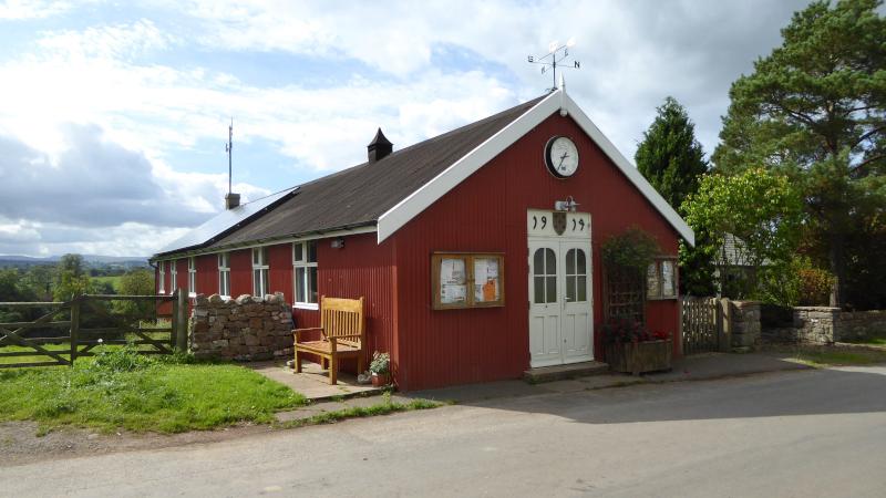
The first part of the walk starts from King’s Meaburn Village Hall, map reference NY 620 212, postcode CA10 3BU, which is seven miles north east of Shap.
INFORMATION
Distance: 5.5 miles with 500 feet of ascent
Time: 5 hours
Terrain: field paths and tracks, gentle slopes
Map: OS Explorer OL19
ROUTE
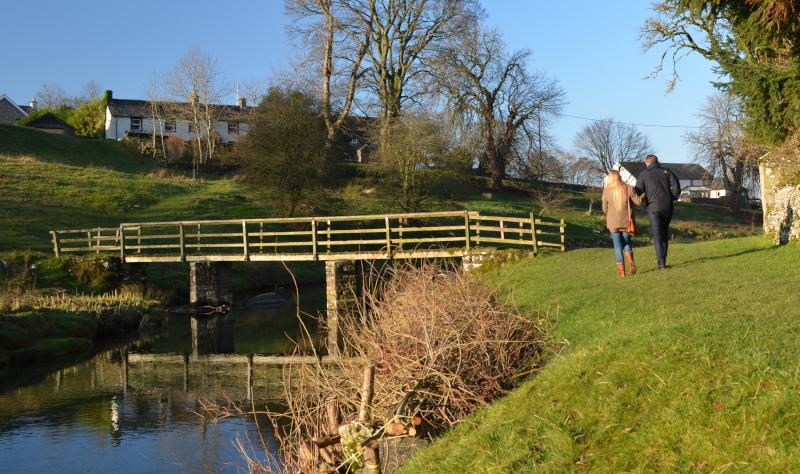
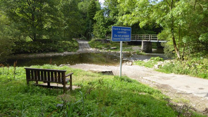
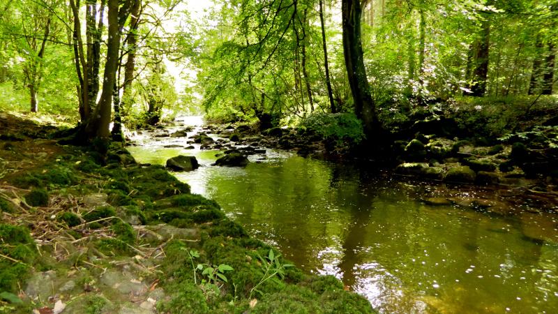
1 From the village hall walk along the road past the White Horse Inn and after half a mile turn left onto the footpath signed Morland. Go through a gated stile halfway down the hedge on the opposite side of the field, then across two more fields to a stile in the left corner and enter the woodland. Go downhill through the woods to the river and turn left to walk alongside the River Lyvennet. Pass the abutments of a former bridge, continuing along the riverside by a memorial bench (to Freda Mary Thompson) and through a field gate stile to Jackdaw Scar. This 49-feet crag, used by climbers, is unusual in that it contains two rock types - the lower sections being sandstone and the upper part limestone. Cross the road near the ford onto a riverside footpath signed Kings Meaburn Mill to Steele’s Mill. This 14th Century building is now a self-catering holiday home.
2 Continue on the same side of the river going through woods then over a stile to descend a steep embankment. Continue walking along the riverside past a wooden footbridge on steel legs and go over a stile. The path goes down to water level and could be flooded after heavy rainfall. Go over a field, across a footbridge (or ford the beck) then walk parallel to a fence on the left, up a slope passing a farm on the right, to a stile/metal gate. Turn left along the tarmacked lane to meet the road then turn left along the road back to King’s Meaburn. The manor of Meaburn was once owned by Hugh de Morville, who took a leading part in the murder of Thomas a Becket in 1170. For this, ownership of the northern part reverted to the Crown (hence the name King’s Meaburn), and the remainder was granted to Hugh’s sister Maud, the mother of Henry II (hence the name Maulds Meaburn).
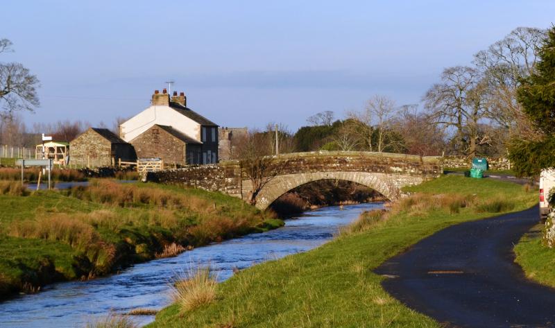
3 Drive south for three miles to Maulds Meaburn and park beside the tree-lined road of the village green. Author Hunter Davies described the village as one of the most beautiful villages in the country. Walk back northwards and turn right to cross the bridge (signed Appleby). Turn right immediately after the bridge and walk alongside the Lyvennet (here known as Lyvennet Beck) on the right. In the 17th Century the course of the river was changed to flow through the village and a water mill was built. The mill closed in 1948. Cross the road near the second bridge and keep to the right on the path leading to a footbridge. Turn right to cross the bridge then walk up the slope to the road where you parked.
Next week: a linear walk from Lowick to Ulverston
NB: restrictions on space mean that this article provides a general summary of the route. It is advisable for anyone who plans to follow the walk to take a copy of the relevant Ordnance Survey map.


Comments: Our rules
We want our comments to be a lively and valuable part of our community - a place where readers can debate and engage with the most important local issues. The ability to comment on our stories is a privilege, not a right, however, and that privilege may be withdrawn if it is abused or misused.
Please report any comments that break our rules.
Read the rules here