
Mary Welsh
A walk from Brockhole
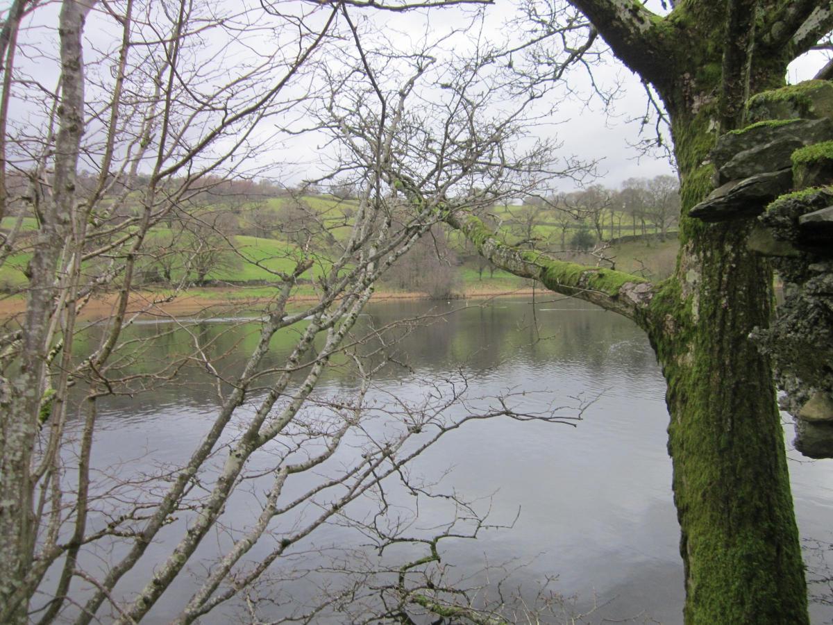
This walk takes you up through classic Lakeland scenery where the pastures are very green and buds are appearing on some of the trees. The views of Windermere are superb. We, in early January, shared a section of Wain Lane with a temporary stream. At the time we felt very sorry for the cart horses which centuries ago used the track to bring down slate from Troutbeck to the lake to be transported on by boat.
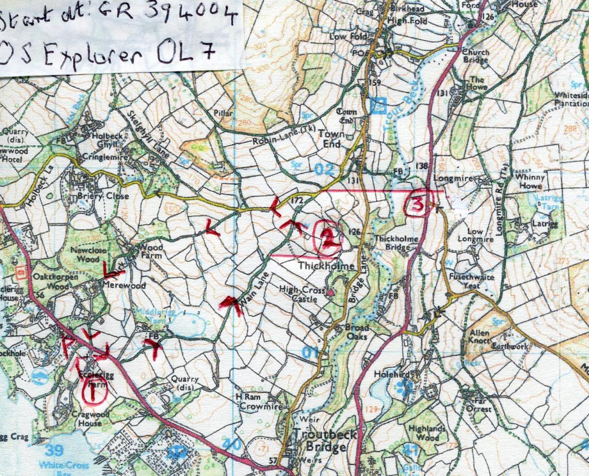
Park at Brockhole’s ‘Pay When You Leave' car park grid reference 394004.
Information
Distance: 3 miles
Time: 2 hours
Terrain: Tracks and paths and a little lane walking. Some mud
Map: OS Explorer OL 7
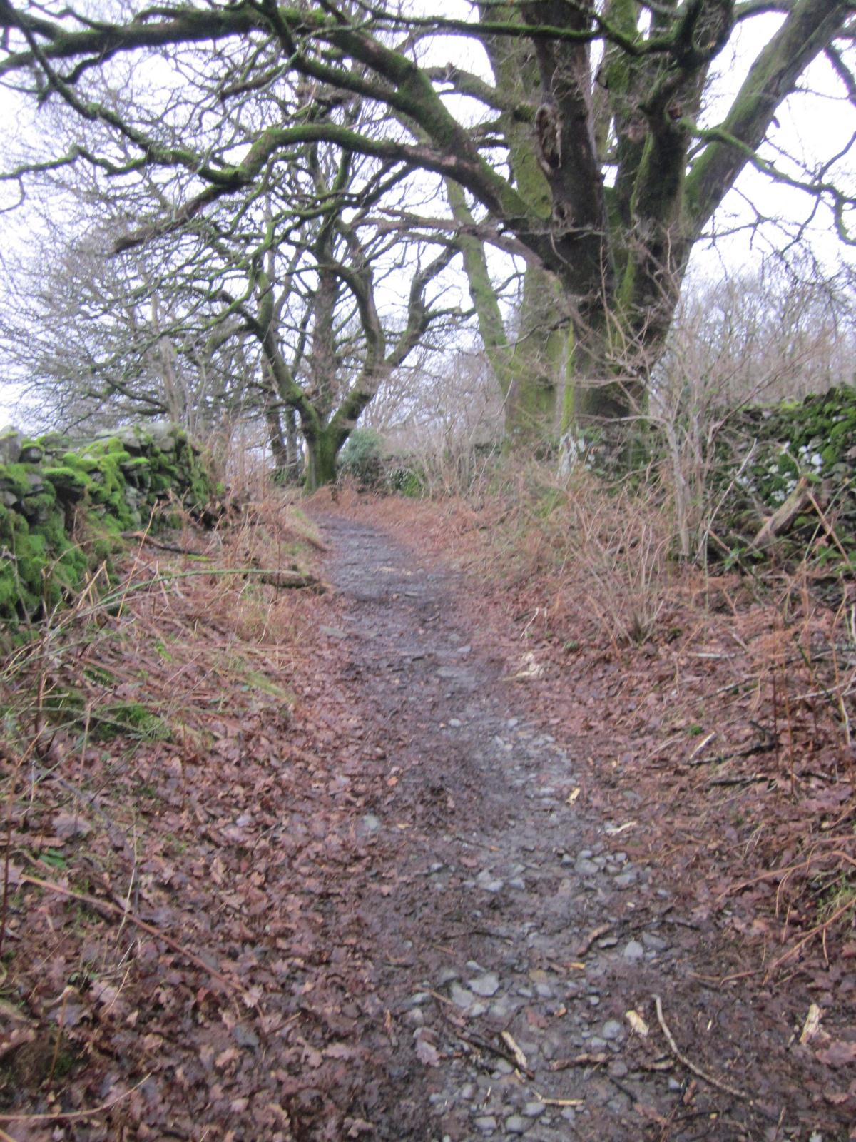
1 Turn right out of the car park and walk approximately 300 yards along the pavement beside the A591. When you can spot a wide, tree-lined track, Wain Lane, opposite, cross with care. Follow the track to go over a small footbridge on the right side of a small stream. Continue on as the track winds right beyond the entrance to an 18th Century house tucked away in the trees. A good track then takes you beside Middlerigg Tarn the haunt of many ducks. The tarn, man-made, was excavated in the last century. Soon the track winds around left and begins to climb. At first it ascends gently and then it becomes narrow, hedged, and stony under foot. If the rain continues it will support a stream with a narrow slip of land on each side enabling you to keep your feet dry. Eventually the stream disappears and the way widens and is reinforced with stones and gravel.
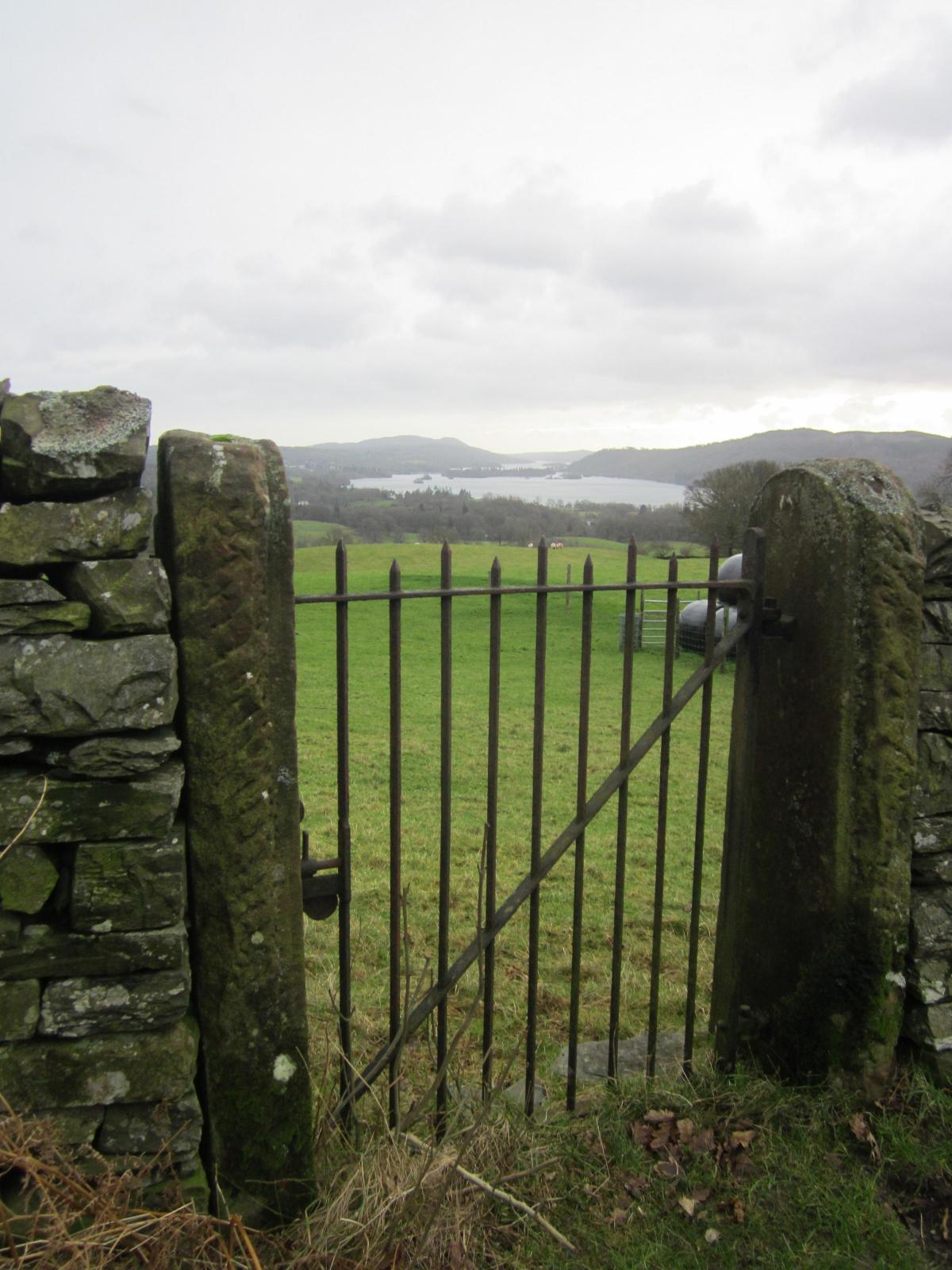
2 Watch out for single iron gates, supported by sandstone pillars, on either side of the track, which has extra reinforcement at this point. The gates are for access to the Manchester Aqueduct, which was built between 1888 and 1895. As the track goes on up it passes between pastures and is walled. Over to your right are extensive views of Windermere.
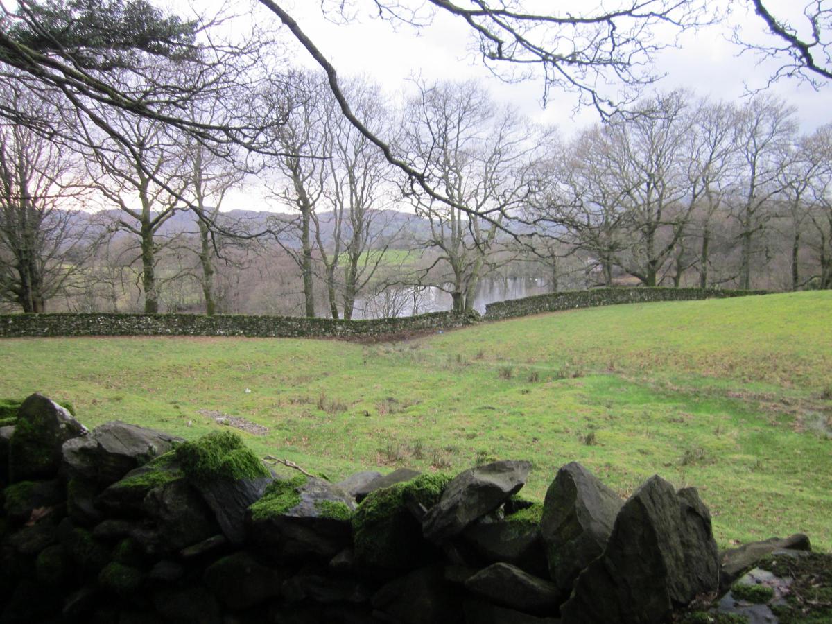
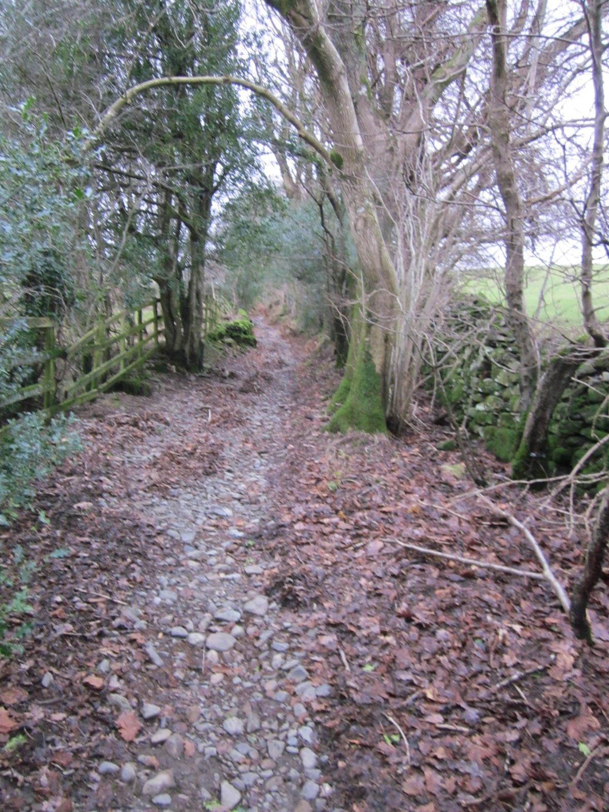
3 The track soon levels and joins a narrow lane from Troutbeck. Turn left and stroll for a pleasing half-mile to reach a farmhouse on the left. Leave the road here and take a roughly reinforced, signed track, Mirk Lane, ahead, between the buildings. This descends steadily and soon passes through pastures with distant views of Windermere. It goes on down edging the woodland and at a rather muddy patch, winds left and climbs a leaf-strewn path. After a short stretch the path begins to descend through the woodland to reach Merewood where the path joins a tarmacked road. This takes you on to the A591. Cross using the traffic island and turn right and then left to the car park.
NB: Restrictions on space mean that this article provides a general summary of the route. It is advisable for anyone who plans to follow the walk to take a copy of the relevant Ordnance Survey map.


Comments: Our rules
We want our comments to be a lively and valuable part of our community - a place where readers can debate and engage with the most important local issues. The ability to comment on our stories is a privilege, not a right, however, and that privilege may be withdrawn if it is abused or misused.
Please report any comments that break our rules.
Read the rules here