
written by Mary Welsh
Half term and we had a short visit from my two youngest grandchildren, aged four and seven. The four-year-old wanted to climb a mountain and the older boy wished to visit a Roman fort - he had been studying the Romans at school. We managed both of these wishes. It made a lovely day with lots of walking.
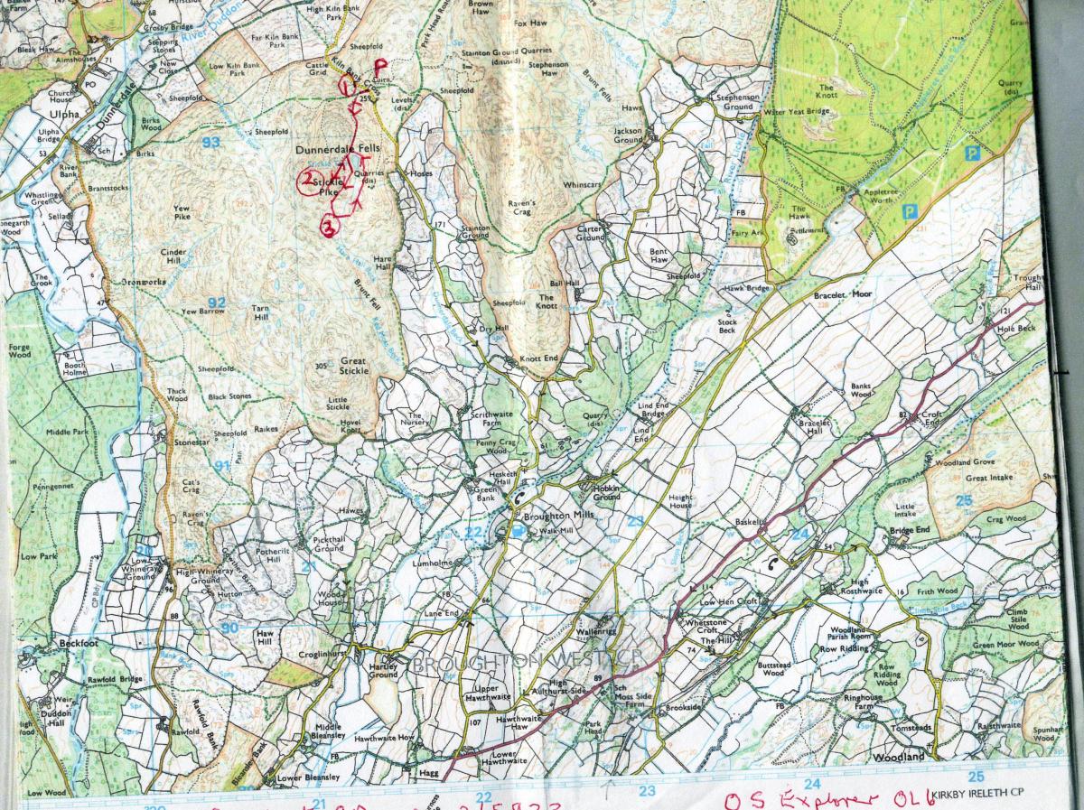
Park at Kiln Bank Cross, grid reference 215933 for Stickle Pike and 221021 for the Roman Fort.
Information:
Distance: Stickle Pike two miles. Roman fort as long as you wish to make it. Drive between Stickle and the fort, over the passes, nine miles
Time: 4-5 hours
Terrain: grassy trods
Map: OS Explorer OL6
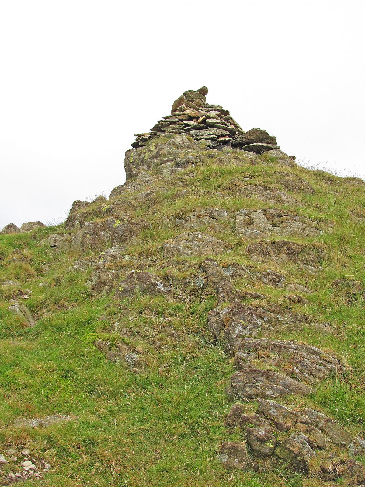
1 From the parking area cross the fell road and walk towards Stickle Pike (1,231 feet). Take the left branch where the grassy trod soon divides. Climb steadily and pause where it eases to look back to enjoy the view. Then carry on the mainly grassy way and at the next level area, note the large cairn that marks the start of the stony path that climbs straight up to the top of Stickle Pike. There is a little path at the summit that enables you, with care, to explore among the crags. We held our four year old’s hand quite tightly.
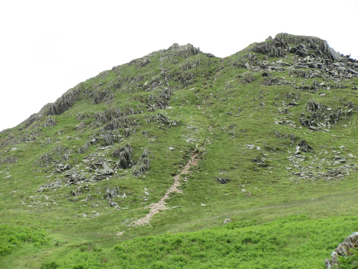
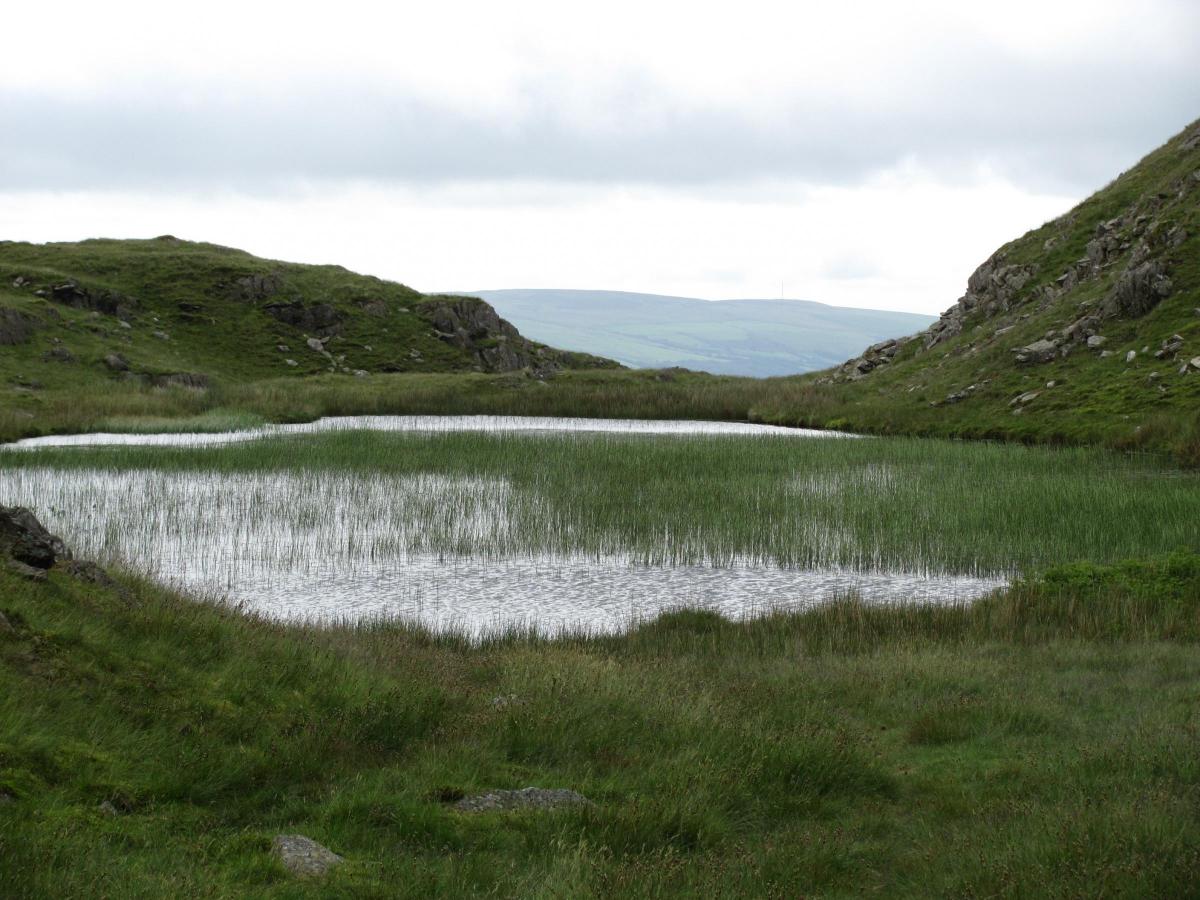
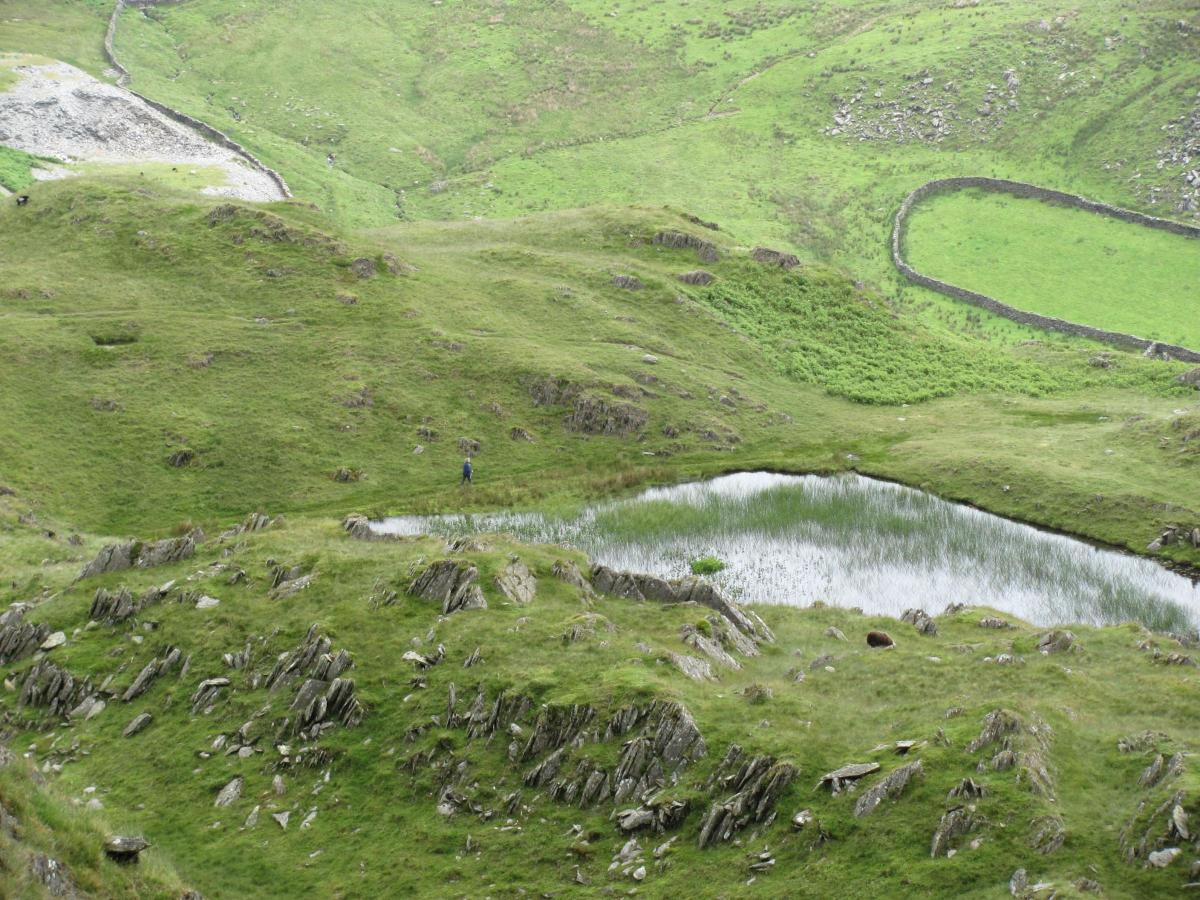
2 Descend to the large cairn and walk a few steps, ahead, to the side of lovely Stickle Tarn, which remains hidden almost to the last step. Return again to the cairn and walk left along a grassy trod the runs above the tarn, which is now hidden by crags to your left. The way soon descends quite steeply and then levels a little. Before you begin to descend again, look left for a huge straight-sided crag. Beneath it is a hollow and a few convenient boulders to sit on, ideal perhaps for your first break and to enjoy the view over the extensive valley to Great Stickle.
3 Then descend again until you reach a sharp left turn, which leads you, easily, to the side of the little beck that flows out of the tarn high above. Step across and ascend the continuing path. At the top, follow the narrow way that leads to the side of the tarn and then continue alongside it. Follow the water’s edge and carry on to the cairn once more. Turn right descend by your outward path to cross the fell road to your car.
4 Drive on along the continuing road, which soon becomes narrow and steep to the valley below. Continue right to pass through Hall Dunnerdale. Carry on along the glorious road to reach Cockley Beck. Here turn sharp left to climb Wrynose Pass and from the summit go on down Hardknott Pass. Soon after the sharpest bend on this road there is room to park on the right, close to an information panel about the fort. If the ground is dry walk on over the grass towards the wall. If not walk, with care, a few steps down the road to a narrow path that leads to the bath houses. Youngsters will delight in reading about the soldiers bathing habits. Continue up the slope to pass through the gap in the wall into the extensive fort. Wander around each well-labelled section and enjoy the superb views in all directions. Imagine what life was like for the soldiers, particularly those from a warmer climate.
5 To return you can drive on down the pass to continue through lovely Eskdale and turn left or right at its end. If you find the passes too daunting you can approach the fort through Eskdale and park close to Jubilee Bridge, grid reference 213029.
NB: Restrictions on space mean that this article provides a general summary of the route. It is advisable for anyone who plans to follow the walk to take a copy of the relevant Ordnance Survey map.


Comments: Our rules
We want our comments to be a lively and valuable part of our community - a place where readers can debate and engage with the most important local issues. The ability to comment on our stories is a privilege, not a right, however, and that privilege may be withdrawn if it is abused or misused.
Please report any comments that break our rules.
Read the rules here