
written by John Edmondson
The Silurian Way is the longest of the waymarked trails from Grizedale Visitor Centre and offers a grand tour of the forest with artworks and views along the way. The route is marked by green-topped posts and is quite easy to follow. A map of the forest trails can be downloaded from the Forestry Commission website or purchased from the visitor centre. Grizedale Forest lies on a zone of slates, siltstones and sandstones known to geologists as the Windermere Group. These rocks were formed in the sea during the Silurian period about 420 million years ago. The Silurian Way is most likely named after these rocks rather than the reptilian humanoids featured in Doctor Who! The walk was selected by The Telegraph as one of the ten best walking tours for spring 2016. The route is also good for those who like to run and walk.
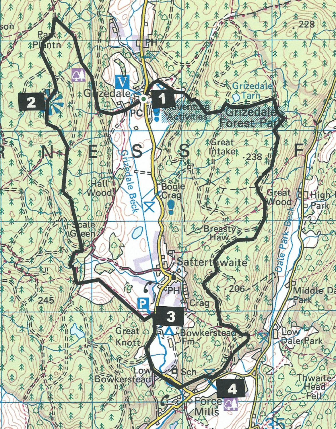
The route described starts from the Grizedale Visitor Centre (grid reference SD 335 943). Alternative start points (with free parking) are at Moor Lane, Satterthwaite, and Blind Lane.
Information:
Distance: 9 miles, ascent: 1,500 feet
Time: 4.5 hours
Terrain: forest tracks and stony footpaths, tricky in places, especially when wet.
Map: OS Explorer OL7
Route
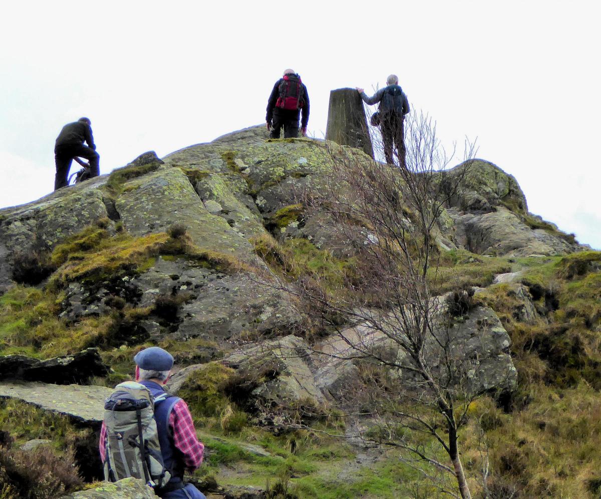
1 Walk down the surfaced lane on the south side of the visitor centre and across Grizedale Beck. Keep straight on to the green, red and yellow post and join the uphill footpath ahead. A steep shortcut to the right leads up to a forest track. Turn right then bear left to go up a stony track. Look for the green and red post on a footpath going to the left and follow that to another track and turn left. Views open out as height is gained. After beginning a descent the waymarked path branches right off the track on a bend just before a viewpoint with a bench seat and ascends to the 1,030-feet summit of Carron Crag, the highest point in the forest. Note that the rocks around the survey column are very slippery when wet.
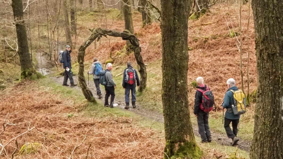
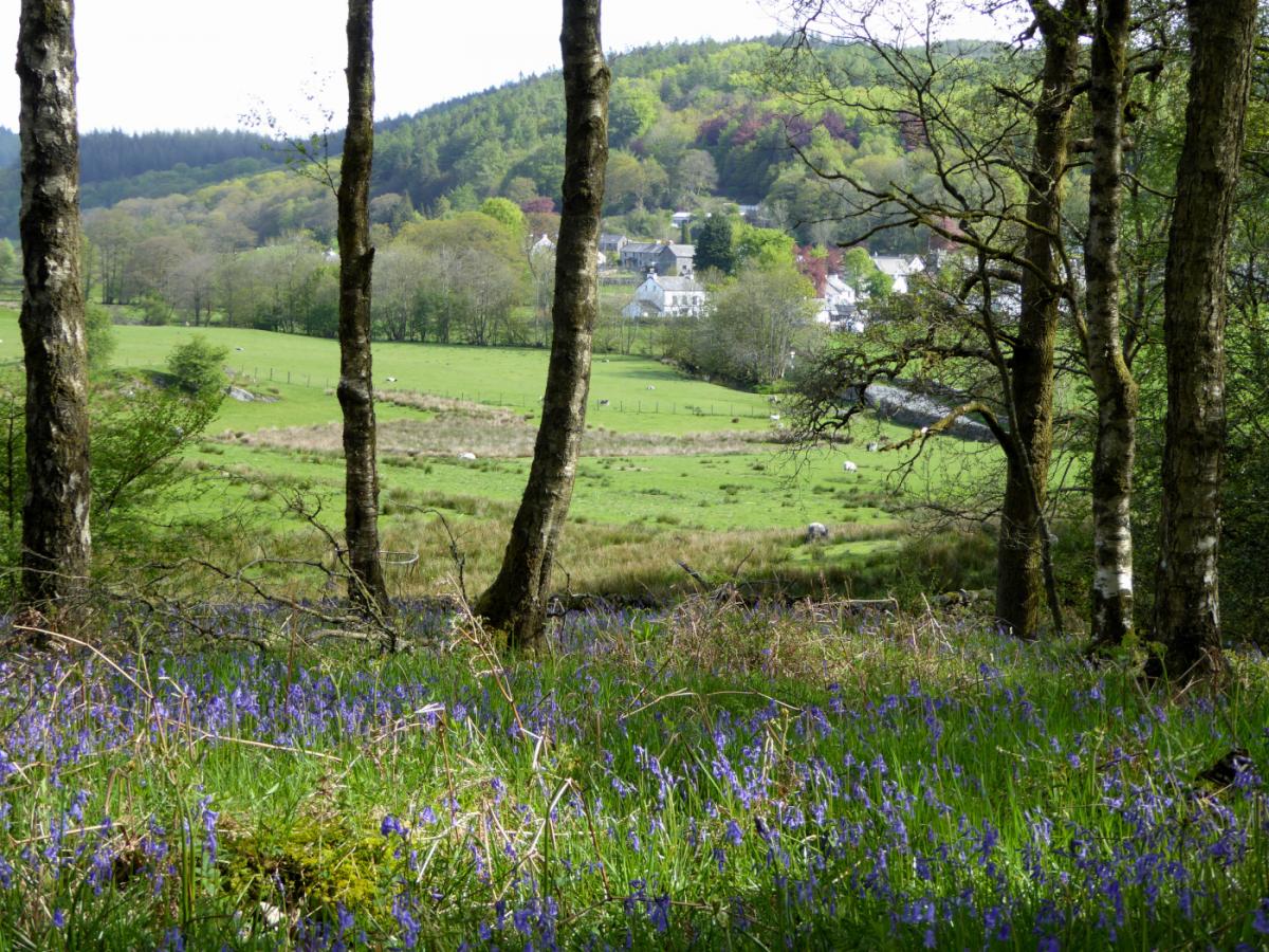
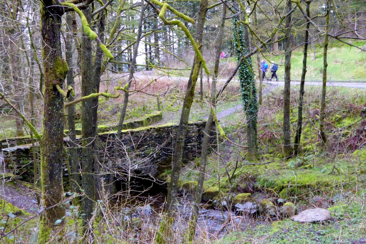
2 Descend through dark woods and a rocky footpath to meet a forest track and turn right. The track becomes a muddy path and enters deciduous woodland, passing under an arch artwork, crossing a mountain bike trail and descending to a forest track. Take the lower of the two tracks on the right to continue walking downhill. It’s easier to keep to the forest track here, passing two stone bridges on the left and a picnic table on the right. At the top of a slope bear left at the green post onto a stony track leading to a farm gate. Follow the walled track (Moor Lane) downhill, with views over Satterthwaite and continue to the road next to the parking area. Alternatively, just before meeting the road follow the green posts through the woods past the Woman of the Water artwork and join the road further along.
3 Turn right along the road, pass a riverside picnic area, cross the road bridge then turn right to follow a path alongside Force Beck with its interesting rocky falls. At the road turn left then right following the green and white posts, going uphill then down to the right behind Blind Lane car park.
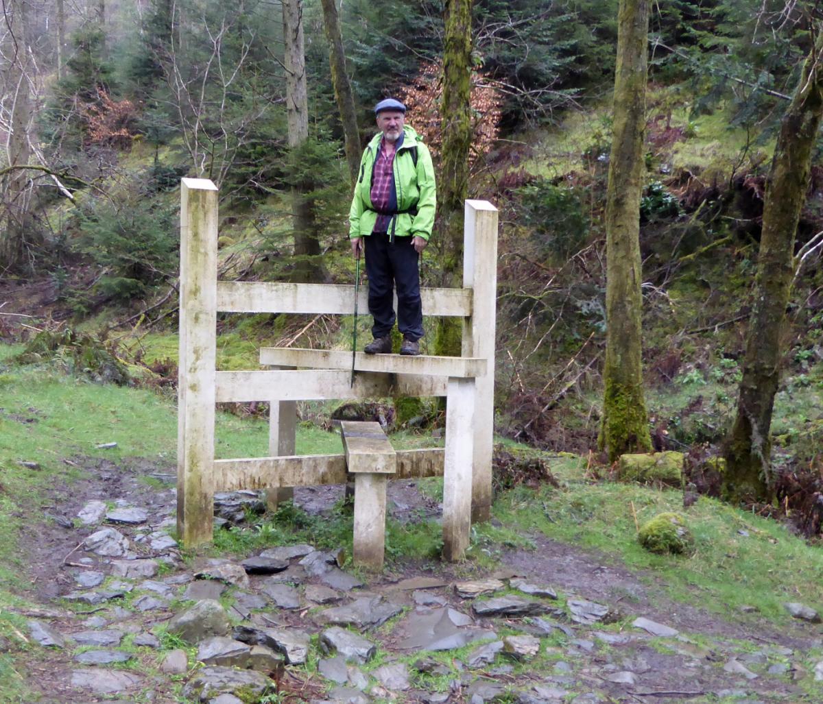
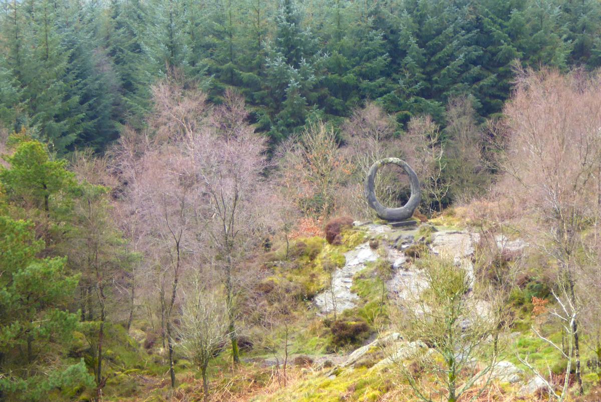
4 Continue north-easterly along the path then turn right on the forest track and go through high kissing gates then along an uphill path beside a high fence. Continue the long ascent up a stony path and through a kissing gate, after which the top is soon reached. The track ahead passes the ‘Stone Forest’ artwork on the left. Turn right at the junction and continue along a lengthy section of forest track. On meeting a junction with a rock face the green route continues to the right, making a long loop to visit more artworks. To shorten the route turn left then right onto a public footpath. On meeting a forest track turn right then left to rejoin the green and white posts. Descend to cross a beck with a big stile artwork then go uphill to a gate and a footpath leading across a field and over a small beck to a wall stile. Turn left onto a stony track and descend, passing the ‘Quarry’ artwork, to meet the road directly opposite the visitor centre.
NB: Restrictions on space mean that this article provides a general summary of the route. It is advisable for anyone who plans to follow the walk to take a copy of the relevant Ordnance Survey map.


Comments: Our rules
We want our comments to be a lively and valuable part of our community - a place where readers can debate and engage with the most important local issues. The ability to comment on our stories is a privilege, not a right, however, and that privilege may be withdrawn if it is abused or misused.
Please report any comments that break our rules.
Read the rules here