
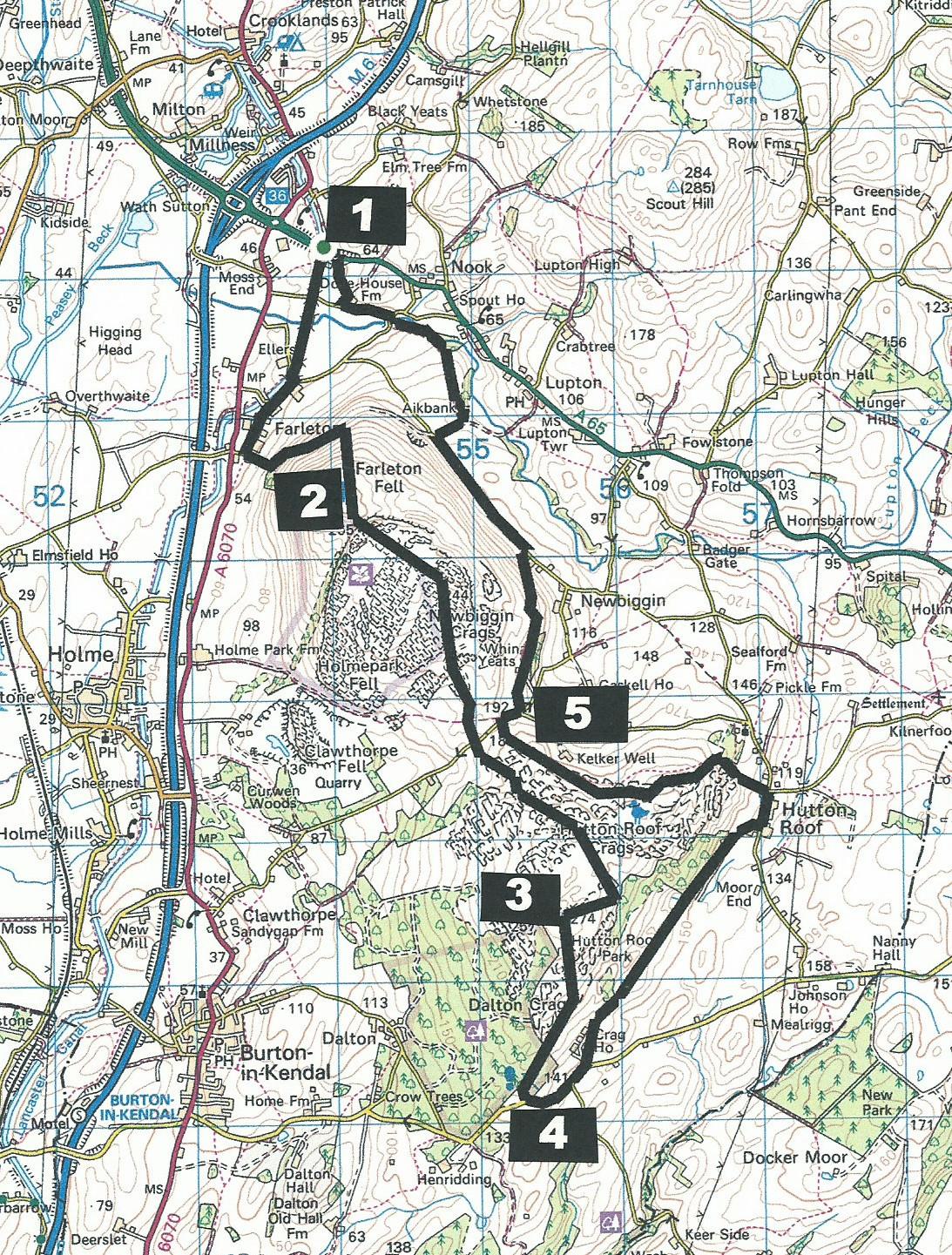
Farleton Knott and Hutton Roof
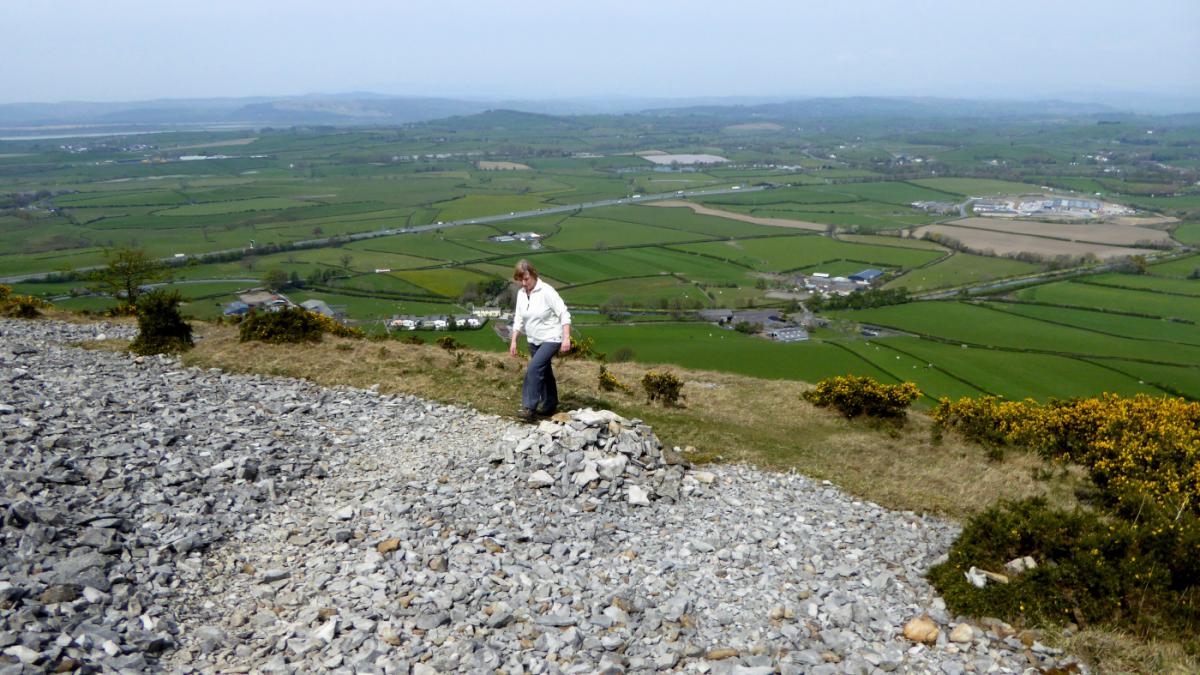
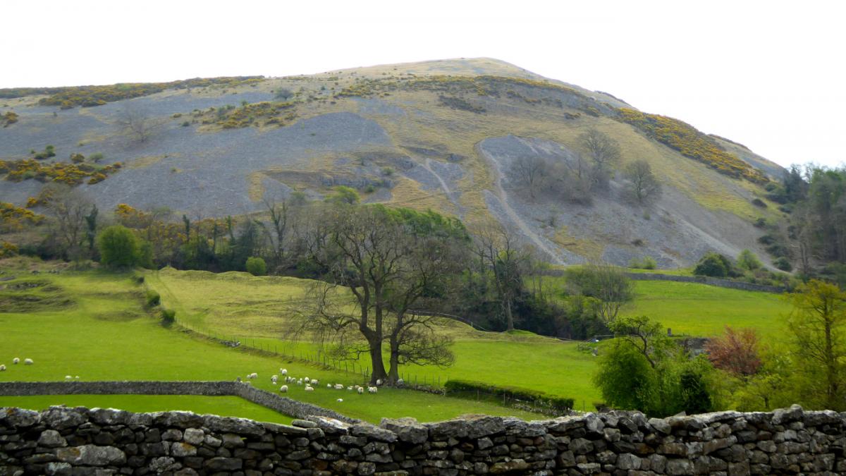
From the M6, the steep bare slopes of Farleton Fell remind me of a disused slagheap, writes John Edmondson. Actually it is one of the most impressive areas of limestone habitats in Britain. This long walk goes over the summits of Farleton Knott and Hutton Roof Crags then returns at a lower level via Hutton Roof village.
Start from the eastbound layby (map reference SD 540 851) on the A65 a quarter of a mile east of the roundabout near the M6 at J36 or on the westbound layby near the Hideaway Coffee Shop.
Information:
Distance: 11.25 miles, ascent: 1,800 feet
Time: 6 hours
Terrain: grassy footpaths, woodland, limestone pavement, quiet lanes and about half a mile of road.
Map: OS Explorer OL7
Route
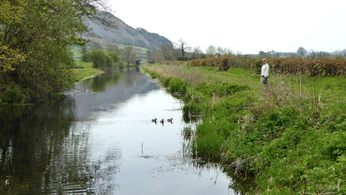
1 From the eastbound layby go through a gate, down to the canal then left under the subway. Walk along the canal towpath to the third bridge (No 158) then continue along the road in the same direction past Kiln Hall and through the hamlet of Farleton. Where the road bends right at Town End Farm turn left onto the footpath signed Farleton Fell and walk uphill to the left corner of a wood then up the hillside path through gorse bushes. The path bends to the right and climbs southwards up a stony path to Farleton Knott. Enjoy views to the south and west.
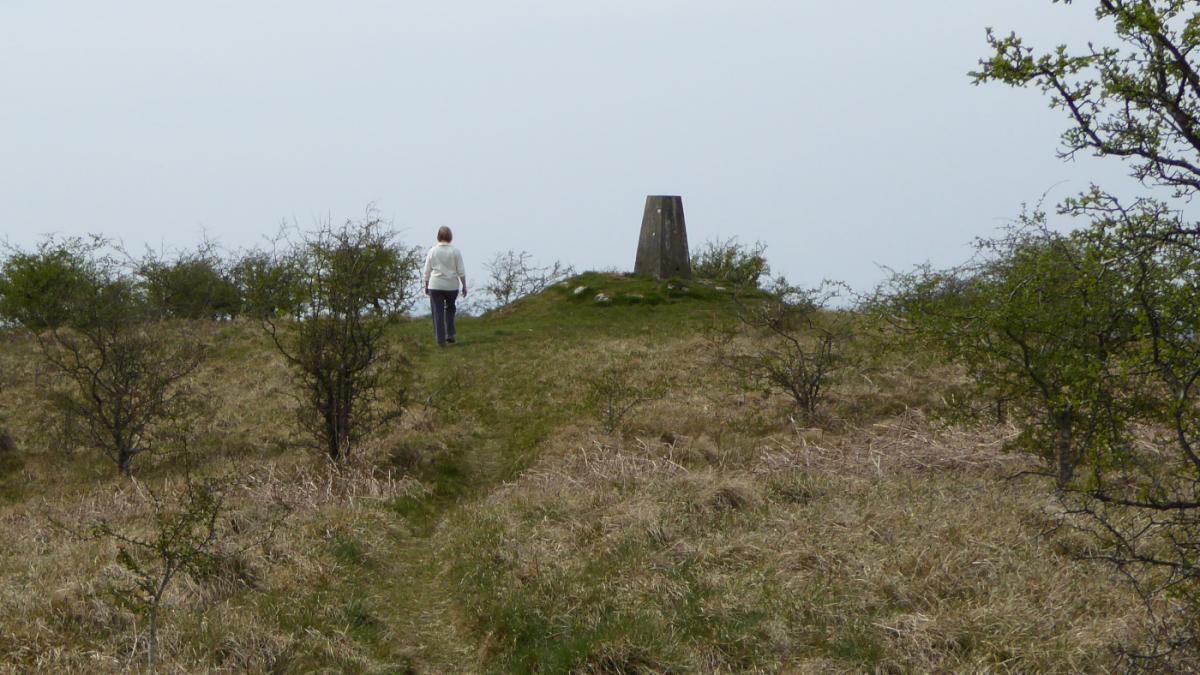
2 Continue to the end of an escarpment then alongside a wall on the right; 50 yards after going through a gate bear right to continue along a wall and descend to join a green path. Go down over rocks and across a field to a ladder stile (with a microwave!). Cross the road and continue ahead through woodland, gorse and juniper: the path goes steadily uphill through birch trees then descends between boulders to an open space. Bear right, going uphill and keeping to paths on the right. If you meet a wall, go right and ascend to the 900-feet top of Hutton Roof, which is marked by a trig point.
3 Follow a downhill path bearing left, over two small rises and down along the line of a wall on the right. Go over the wall by a gated ladder stile and follow the path to a stile by woods in the corner by the fence on the left. Turn left in the woods, over a mound and down into Plain Quarry car park.
4 Turn left and walk along the two-lane road for a third of a mile. Turn left into a farm lane then immediately right through a kissing gate, over fields, below woods and over a ladder stile to a gate at the end of a farm track. Walk across the field to the left of the track and join the track leading down to Hutton Roof village, passing through a new housing estate (Lowther Court). Turn left along the road and at the edge of the village, just before the road junction for Kirkby Lonsdale, turn left onto the footpath signed Hutton Roof Crags. Go uphill, keeping to the main path and climbing steadily until a view of Farleton Fell appears ahead. Take the path that leads to the top of an escarpment and along the edge then through woodland. After the wood keep to the right at the gorse bushes and turn right onto the road.
5 Turn left onto Whin Yeats Farm track; go straight past the farm to a metal gate above the house and along a track. Bear right at a waymarker and descend to Puddlemire Lane at Town End Farm. Turn left and where the lane meets a gate turn right. After 400 yards turn left past Aikbank Farm. Go through two field gates and across fields to descend to a corner near woods. Go alongside the woods near Lupton Beck and at the road turn right, across Nook Bridge, then left on the lane signed Crooklands. Turn right after barns and left opposite Dove House Farm onto the path signed A65. Keep to the right of the hedge and go up to the A65 near the Hideaway Coffee House.
NB: Restrictions on space mean that this article provides a general summary of the route. It is advisable for anyone who plans to follow the walk to take a copy of the relevant Ordnance Survey map.


Comments: Our rules
We want our comments to be a lively and valuable part of our community - a place where readers can debate and engage with the most important local issues. The ability to comment on our stories is a privilege, not a right, however, and that privilege may be withdrawn if it is abused or misused.
Please report any comments that break our rules.
Read the rules hereLast Updated:
Report this comment Cancel