
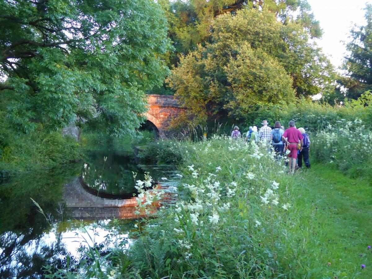
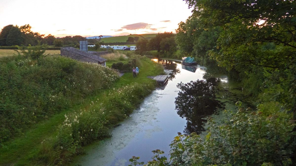
This leisurely walk starts from Crooklands Hotel (map reference SD 535 836, postcode LA7 7NW) and goes alongside Peasey Beck to Endmoor, writes JOHN EDMONDSON. A short steep climb is rewarded by good views to the north. The walk continues through green meadows to the peaceful village of Stainton then returns to Crooklands along the Lancaster canal towpath.
Information:
Distance: 5 miles
Time: 2.5 hours
Terrain: grassy footpaths with one short steep climb.
Map: OS Explorer OL7
Route
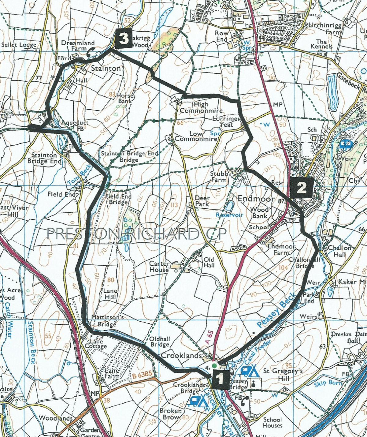
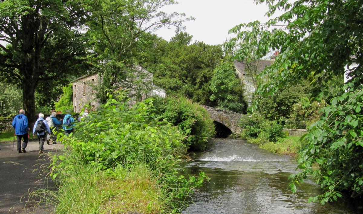
1 From the hotel turn right then right again onto Bobbin Mill Lane and past Crooklands Mill garage. Go through a gateway, across fields, along the side of Peasey Beck then turn left along a rutted track by a hedge on the left. This path was once a tramway linking Low Gatebeck gunpowder works to the railway at Milnthorpe. Go through a stile by a gate to a road (where the bridge on the right is currently closed) and turn left along the road. This is Enyeat Road and is named after a manor house. Walk uphill into Endmoor to the Millennium clock. Cross the main road and go through a metal kissing gate onto a field path signed Field End.
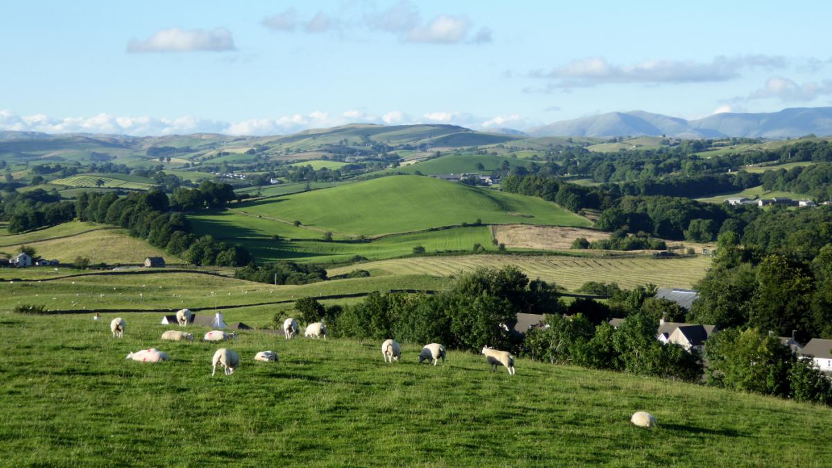
2 Walk up the steep slope by the side of a hedge on the left and pause at the top to enjoy views northwards. Descend on the other side to a gate in the left corner of the field beside a caravan site. Cross a lane and go over a stepped stile on the footpath signed Row End alongside a wall to a gap stile in the field corner. Cross a lane, continuing on the footpath signed Row End half a mile. Follow a wall on the left to a stile next to a gate and after 50 yards go through another stile then turn immediately left through a stile next to a gate. Follow the wall at the side of the field on the right, go through a gateway to a wall stile in the centre of the field and turn right along an overgrown, hedged path. Go through the metal gate or over the adjacent stile into a field turning left to cross the field down to woods on the opposite side. Enter the wood by a metal gate or adjacent step stile and turn right. Bear left in the woods and exit via a gap stile to cross a field ahead, going over a mound and below high voltage power lines to a step stile near some bungalows.
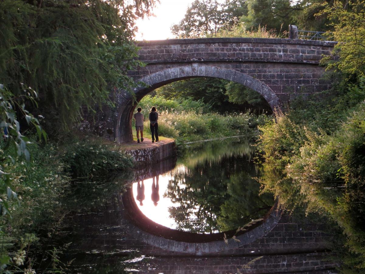
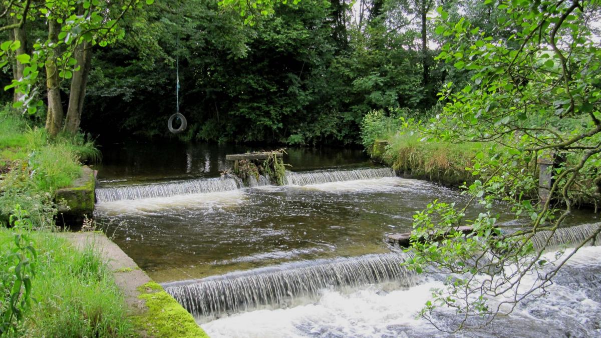
3 Turn left along the lane beside Saint Sunday’s Beck into Stainton village. Turn right over the old packhorse bridge (probably built in the 17th Century) beside Waybend Cottage. Turn left along the lane. At the bottom of a slope turn left over a wall stile or use the metal gate just beyond it and walk on a footpath beside the beck. Go over a fence stile into woods and onto a wooden roadside gate. Turn right and at the canal side car park and left to cross the canal, then turn left and walk along the towpath on the other side. The towpath goes over Stainton Aqueduct, which has now been stabilised after Storm Desmond sent a seven-feet-high wall of floodwater causing an estimated £1million damage to it. Pass the temporary dam and follow the towpath for a further one and a half miles, when Crooklands Hotel appears on the left. Turn right by the Canal Trust building then left onto the road and left over the canal bridge to return to the hotel.
NB: Restrictions on space mean that this article provides a general summary of the route. It is advisable for anyone who plans to follow the walk to take a copy of the relevant Ordnance Survey map.


Comments: Our rules
We want our comments to be a lively and valuable part of our community - a place where readers can debate and engage with the most important local issues. The ability to comment on our stories is a privilege, not a right, however, and that privilege may be withdrawn if it is abused or misused.
Please report any comments that break our rules.
Read the rules hereLast Updated:
Report this comment Cancel