
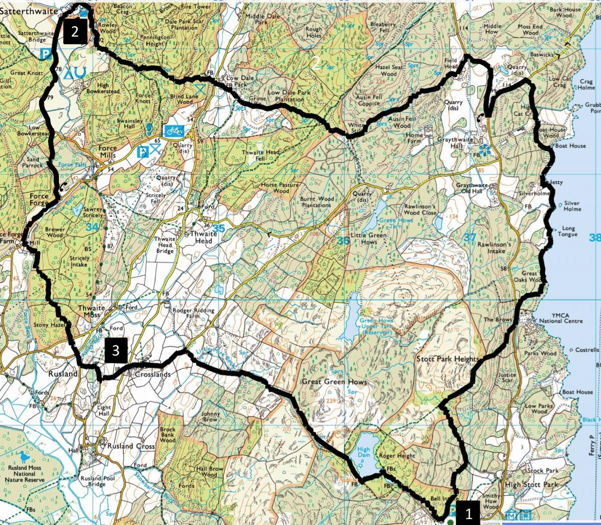
EXPLORE some of the woodlands, waters, settlements and twisting roads that make Rusland a special place, writes JOHN EDMONDSON. This undulating walk goes through woodlands and alongside Windermere before visiting Satterthwaite, Rusland Church and High Dam. It never goes high, but the ups and downs make it quite strenuous.
Start from the Lake District National Park car park at High Dam, Finsthwaite, grid reference SD 368 882, near postcode LA128AX.
INFORMATION
Distance: 10.5 miles and 2,500 feet of ascent
Time: 6 hours
Terrain: good paths and about 1.5 miles of quiet roads
Map: OS Explorer OL7
ROUTE
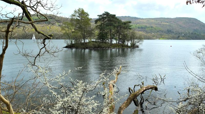
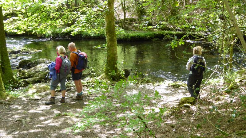
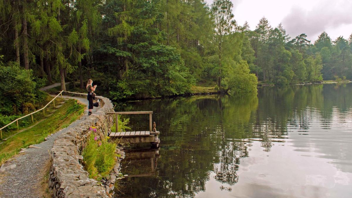
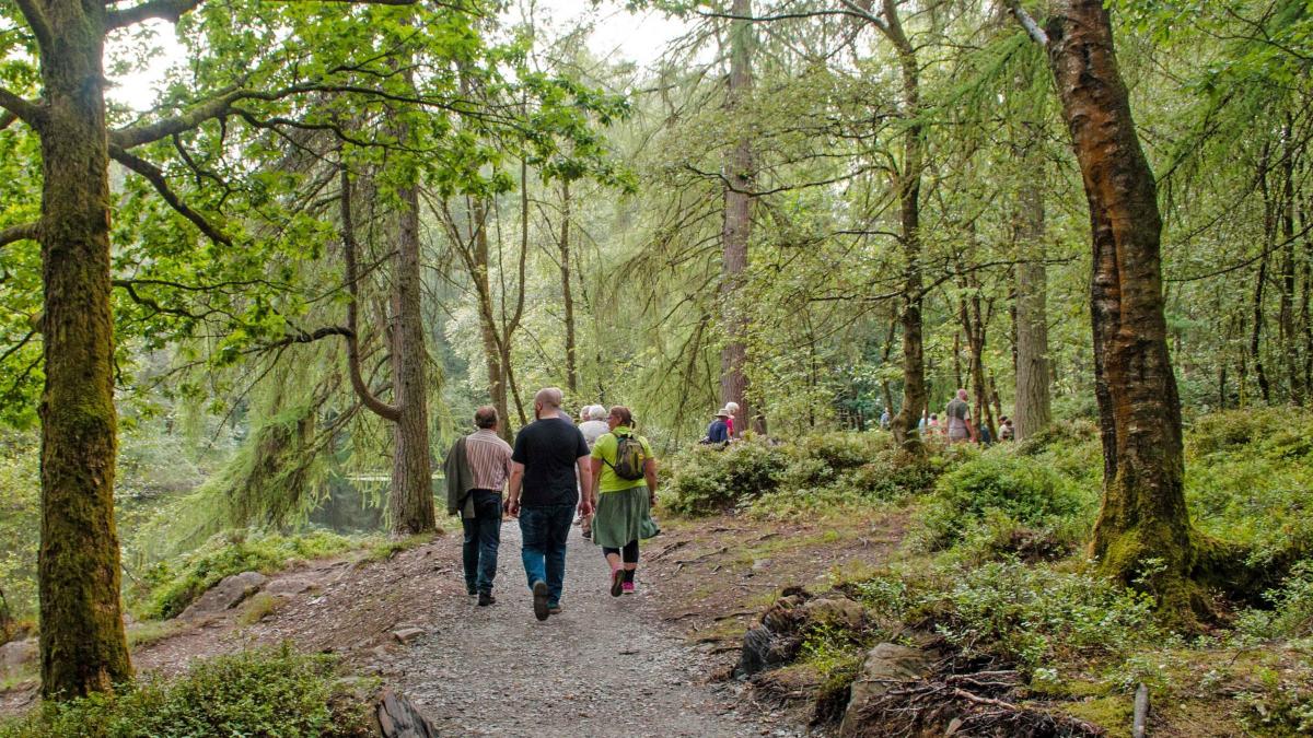
1 From the rear of the car park take the higher path leading to the main track and turn right. After 50 yards turn right at a yellow waymarker, follow the woodland path for 0.6 mile then turn left at a waymarker near a fence. At a stony track where a waymarker points left, turn right. Cross a tiny beck then turn left on to a larger track going uphill. Where the track starts to bend sharply left turn right by an orienteering marker, down a steep path to the road opposite YMCA National Centre. Turn left, then go through a gate on the right on a path to Windermere lake. Walk along the lakeside path past Silverholme. Before reaching Boat House turn left on the path up through the woods, turning left after a wall gap and continuing uphill to meet a road. Turn left and at the junction, sharp right (towards Sawrey). At Field Head turn left through metal gates then right along a track after North Lodge, past cottages. Bear right by a small fingerpost on to a grassy uphill path then left through a fenced area, following waymarkers through young conifer woodland. Turn right on to the larger forest track then left before a barrier gate and follow blue waymarkers to Low Dale Park. Turn left at the cottages and cross the road near a car park. Cross a footbridge and walk uphill through woods, cross a forest track and turn right on the main track. At a Y fork go straight on and follow the bridleway down to Satterthwaite.
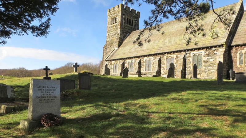
2 Take a break, such as at The Eagles Head, then walk southwards along the road for 0.75 mile. Bear right on to a track at Low Bowkerstead behind a white cottage. Follow the woodland path to the road at Force Forge. Turn right on the road for 0.25 mile then left between cottages. Go through a gate on the right; follow the tall beech hedge around Bobbin Mill Cottage lawns and across a footbridge over Force Beck. Follow the waymarked path up through woodland and descending to a road opposite Rusland Church. Walk past the right of the church, perhaps stopping to visit the church and Ransome’s grave, then walk along the road directly ahead. Turn left after 120 yards, follow the road around to the right then turn left on to the footpath to Crosslands.
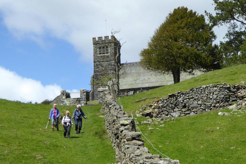
3 At the road turn left then immediately right. Walk along the road through Crosslands. After 500 yards turn right beside a wood on to the footpath signed High Dam. Follow yellow waymarkers through a gateway going uphill continuing through woodland. At the top of the slope keep straight on through a stile to the footpath signed High Dam. Follow the path along the line of a wall and fence on the right, over boardwalks, through a gate then alongside a wall to High Dam reservoir. Turn right to cross a bridge then follow the main path past the dam then down to the car park.
Next week: the Sedbergh Quaker Trail
NB: restrictions on space mean that this article provides a general summary of the route. It is advisable for anyone who plans to follow the walk to take a copy of the relevant Ordnance Survey map.


Comments: Our rules
We want our comments to be a lively and valuable part of our community - a place where readers can debate and engage with the most important local issues. The ability to comment on our stories is a privilege, not a right, however, and that privilege may be withdrawn if it is abused or misused.
Please report any comments that break our rules.
Read the rules here