
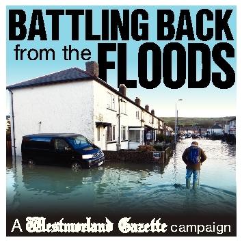

GROUND-breaking plans to protect Kendal from another devastating flood like 2015’s Storm Desmond have been unveiled.
The Environment Agency has given residents and business people their first detailed look at its multi-million-pound proposals, which include:
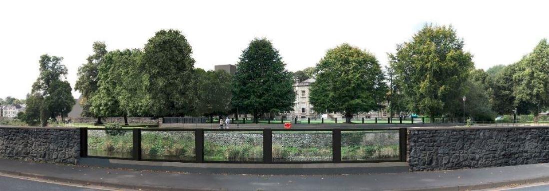
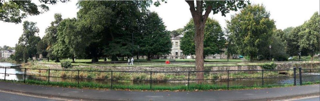
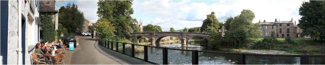
* Four miles (6.7km) of flood walls along the River Kent, made from glass panels at scenic locations such as Aynam Road looking across to Kendal Parish Church, or traditional-look slate walls or moulded concrete in less sensitive places such as Mintsfeet industrial estate
* Fourteen flood gates at strategic points on the Kent, with the gates stored at nearby depots to be deployed in the event of a flood alert
* A new drainage channel to help prevent Stock Beck flood storage basin overflowing - the major cause of hundreds of homes being deluged on Kendal's Sandylands estate and beyond in December 2015
- Two new floodwater storage areas upstream of Kendal to "buy time" in heavy rainfall, at Sandy Bottoms, and at Kentmere Tarn, where bunds would be built to increase capacity
- and over a mile (2km) of flood walls for Burneside, Staveley and Ings.
The plans - which could cost £35 to £40 million - were unveiled to the public yesterday at Kendal Town Hall by Stewart Mounsey, Cumbria's flood risk manager at the Environment Agency. He told the Gazette: "Our indication is it will protect 1,400 properties overall."
MP Tim Farron said he understands there will be "spades in the ground by early 2019". The Government has already pledged £24 million for the work, and a bid for around £5 million European money is imminent.
"These are not just defences to protect against flooding," said Mr Farron. "They are also defences to give us reassurance and to know that when we get awful weather in the future we won't have the awful experiences we had in the past."
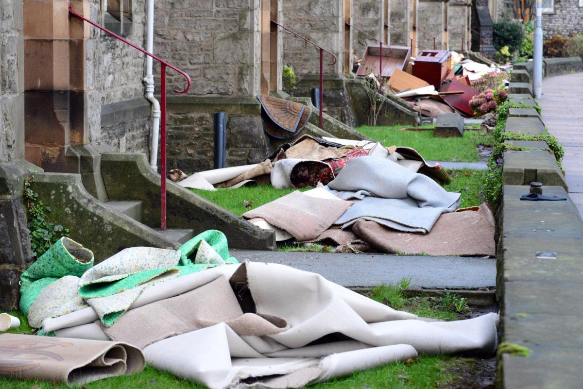
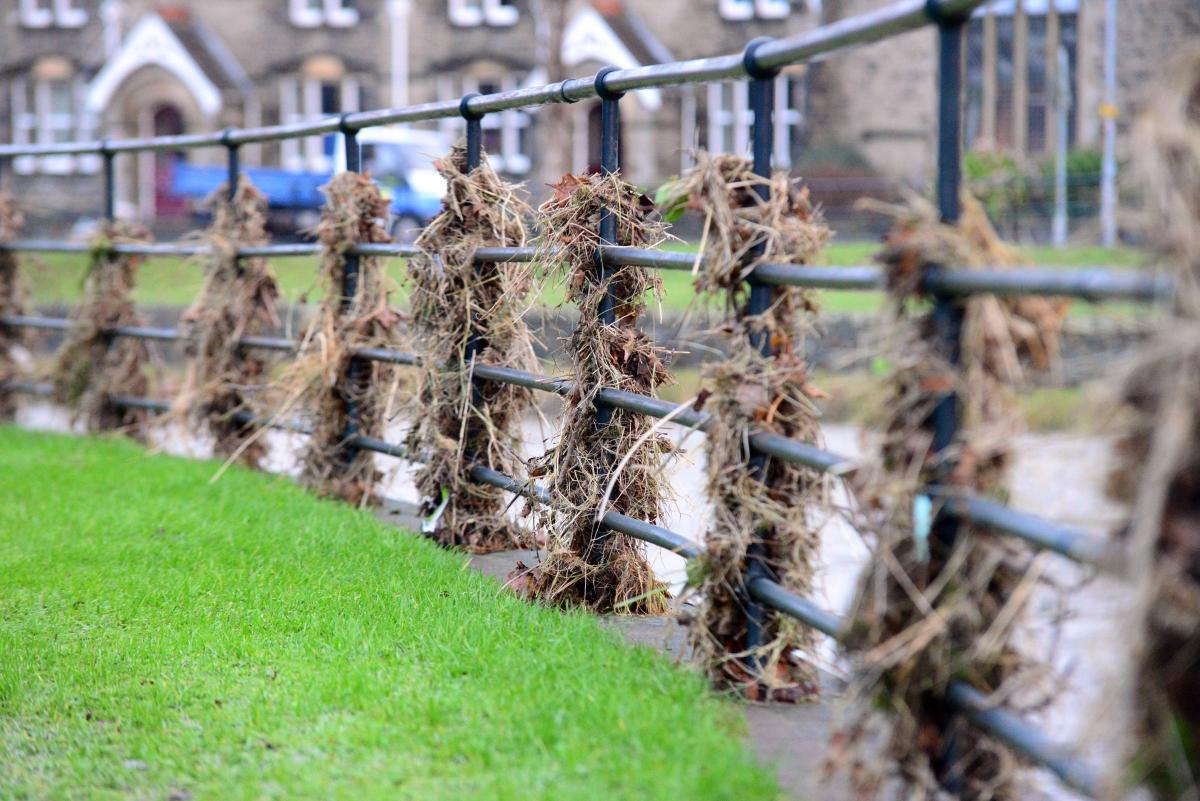
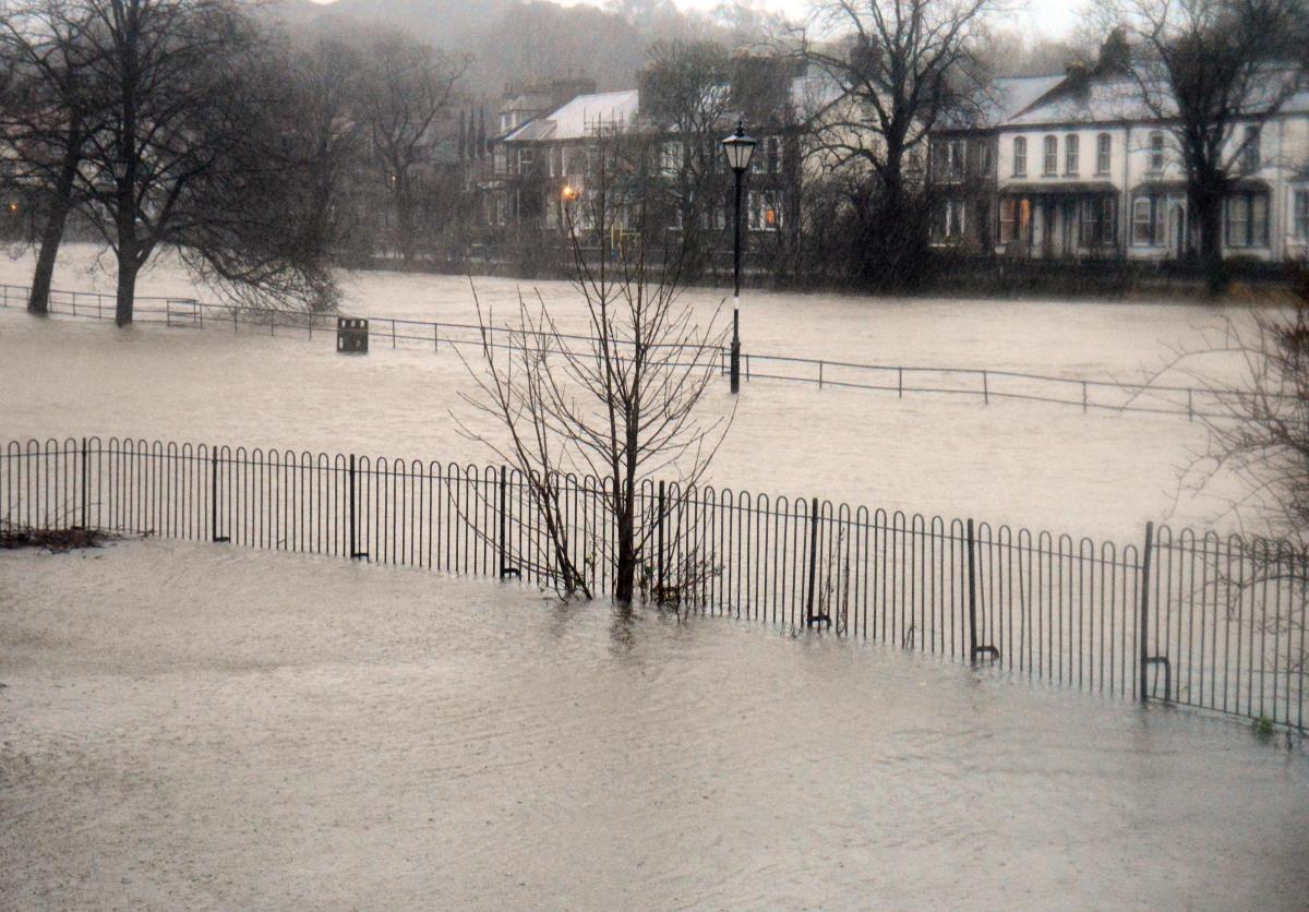
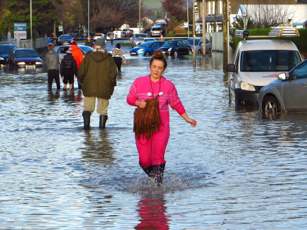
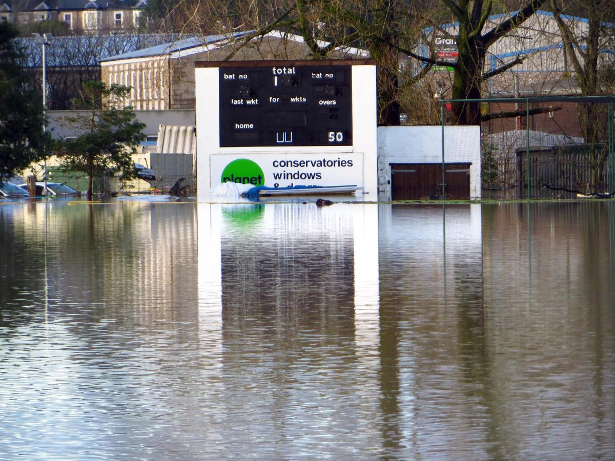
Meteorological records were broken by the historic storm of Saturday, December 5, 2015, which brought unprecedented flooding to Cumbria.
Prolonged, intense rain fell on saturated ground and rivers burst their banks, including Kendal's Kent, Mint and Sprint. At its peak, the Kent at Victoria Bridge was surging at 88,660 gallons (403,000 litres) per second.
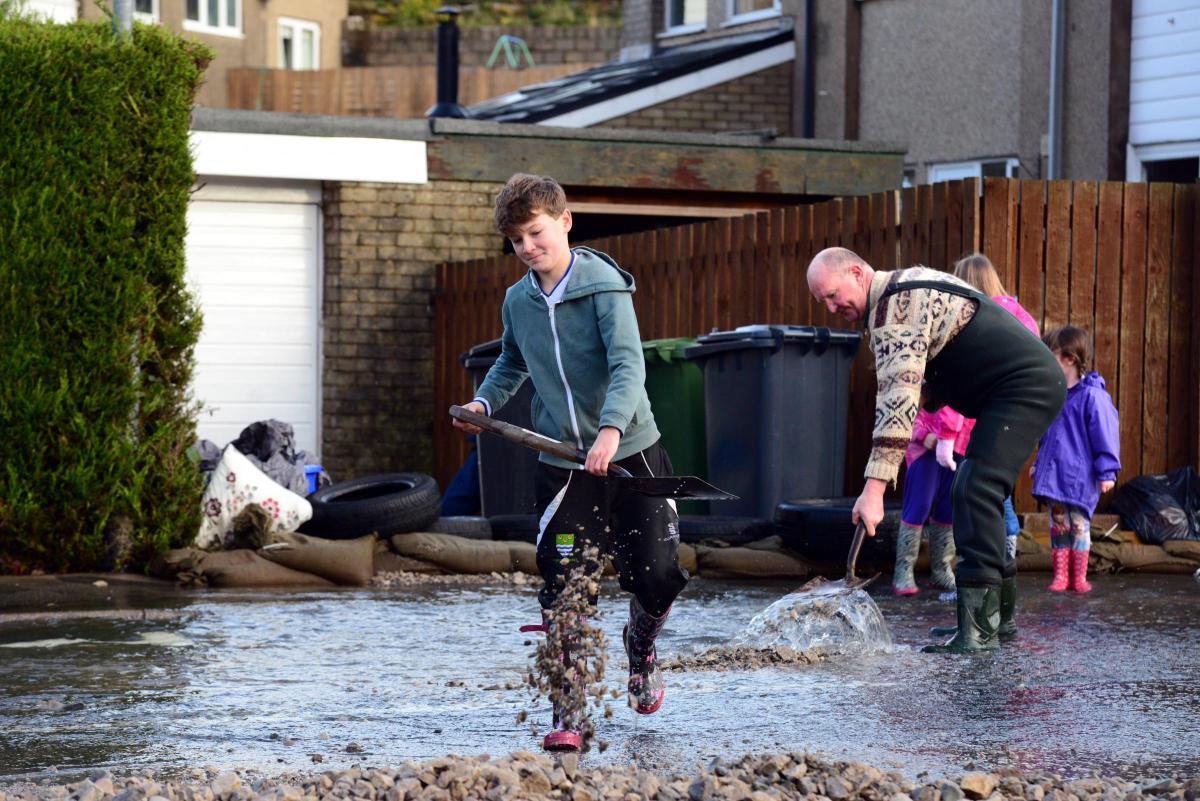
The deluge and severe gales gusting at 100mph brought misery to families and business owners, with 2,358 properties damaged across South Lakeland and people forced to evacuate.
As the third anniversary of Storm Desmond approaches, Westmorland and Lonsdale MP Mr Farron said it was crucial to build something "tangible" to help calm people's fears and anxieties.
"We should not underestimate the lasting impact on families and business people who say they can't plan for the future because they feel they might get hit again, and the impact on people of all ages - particularly children - for whom a downpour can trigger real panic," he said.
"I remember being hugely affected by what I saw and experienced as I helped people to empty their homes the day after.
"We saw the Christmas trees and Christmas presents in some cases, all sodden outside people's doors.
"My motivation is to give people hope and confidence that this won't happen to them again, on an emotional level but also on a practical level.
"We can't be complacent but we can be a lot more confident and sleep easier in our homes."
Mr Mounsey said the Environment Agency wanted to hear people's views about the different types of flood walls proposed.
These "linear defences" will make up phase one of the overall project. "We're aiming to put planning permission in for October, November time and we're aiming to start construction next year so that those are finished by 2021," he said.
Phase two - the floodwater storage areas - is likely to take longer as it involves detailed negotiations with landowners.
Mr Mounsey said the plans aimed to strike a balance between creating floodwater storage upstream, and building walls that were high enough to be effective without blocking views. They are likely to measure 80cm to 120cm, the height of an average handrail.
"For the really high-visibility areas we might go for glass panels like they did in Keswick in some of the high-risk areas," said Mr Mounsey.
"For example, the bridge near New Road [Miller Bridge], that's one of the areas where we are looking to put glass panels because there's a café [Waterside Café Bistro] and people sit out there and they'll want a good view of the river."
Traditional slate-type walls are proposed for elsewhere in town, with concrete suggested for locations such as industrial Mintsfeet.
Mr Farron said he understands the money from the European Regional Development Fund could amount to between £4.5 and £5.5 million. "It's economic funding to pay for the protection of the industrial area, the job centres, so to speak, particularly Mintsfeet," he said.
Mr Farron said the Environment Agency's proposals had to be agreed before a bid could be made to the ERDF. That bid must be in by November 2018, he said.
MORE TOP STORIES:
"I'm working very hard with the Environment Agency and the Government to make sure they get this project agreed and signed off.
"I'm asking for the Government to agree to fill in the gap if the European money is not possible," he said, adding: "All the indications are we will get the money."
Businesses on industrial estates in the north of Kendal employ at least 6,105 people, according to figures supplied by the Environment Agency. The area is worth £140 million per year to the economy.


Comments: Our rules
We want our comments to be a lively and valuable part of our community - a place where readers can debate and engage with the most important local issues. The ability to comment on our stories is a privilege, not a right, however, and that privilege may be withdrawn if it is abused or misused.
Please report any comments that break our rules.
Read the rules hereLast Updated:
Report this comment Cancel