
Coast and Canal walk from Bolton-le-Sands
THIS walk combines three miles along the coast of Morecambe Bay with three miles along the Lancaster Canal towpath, writes JOHN EDMONDSON. This coastline contains the largest concentrations of curlews in the UK.
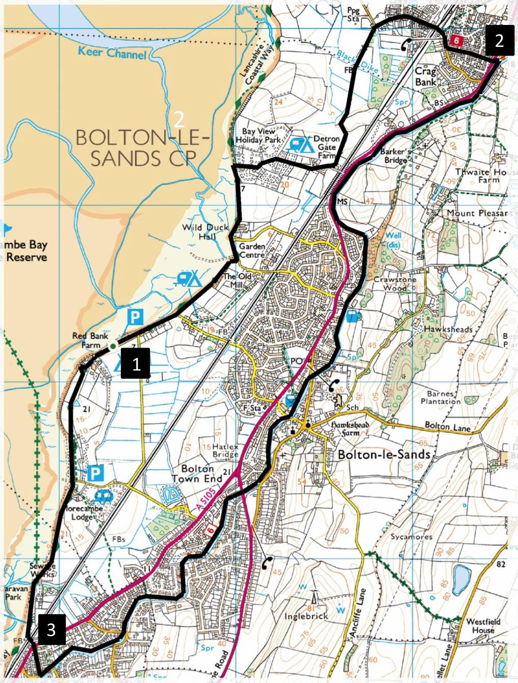
Start from Red Bank Farm, map reference SD 473 682, postcode LA5 8JR. There are several alternative start points. If travelling by bus you could join the walk where it crosses the 555 route near the A6 mini-roundabout to Longfield Drive, south of Carnforth.
INFORMATION
Distance: 7.3 miles with very little ascent
Time: 3 hours
Terrain: footpaths, canal towpath and roadside pavements.
Map: OS Explorer OL41
ROUTE
1 Walk northwards along the tarmacked coastal path, going left of the white house along a lane signed private road to Bolton Holmes Farm. After passing the caravan park entrance continue along a grassy path and bend right through a gate. Follow the caravan park lane keeping right at the fork signed public footpath. At the top of the slope follow a roadside path on the right. Pass the barrier and turn left over a stile onto the footpath before the railway bridge and walk along the hedged lane. Go over a stile by a gate into a field and follow the hedge on the right through a metal field gate ahead then bear left to go diagonally across a field to a footbridge in the corner. Walk along the line of a willow hedge on the left and over a stile to the left of trees then right onto a tarmacked lane. Turn right onto Crag Bank Road, across a railway bridge, bend left, go along Longfield Drive and cross the A6. Those travelling by bus could start the walk from here.
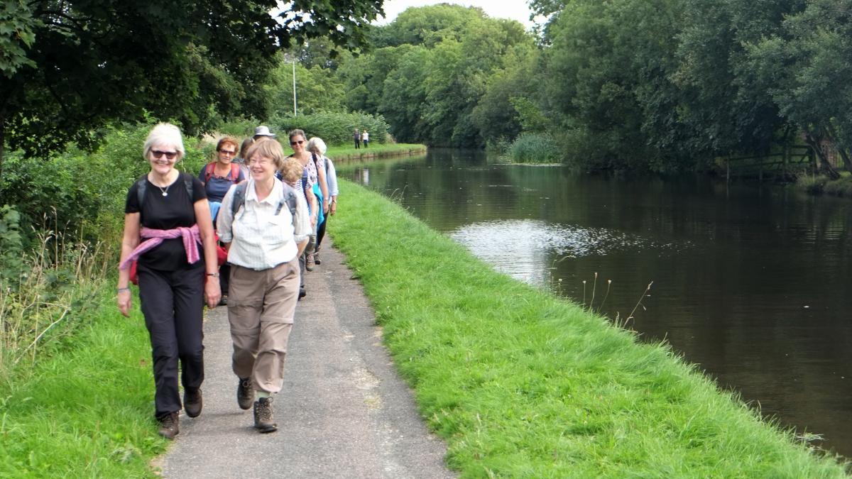
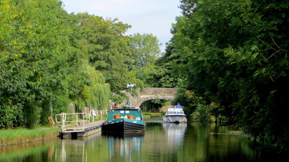
2 Walk up the steps signed Lancaster via Canal and turn right onto the canal footpath. The walk continues along the towpath for three miles passing through Bolton-le-Sands. Since the A6 is close by on the right the walk could be joined at several points along here. Leave the towpath at bridge 118 opposite a white house on the canal bank. Turn right and walk down the road ahead (The Crescent). Take the first turn right and walk down Station Road. Cross the A6 at the lights and then the railway level crossing next to the Old Station Inn.
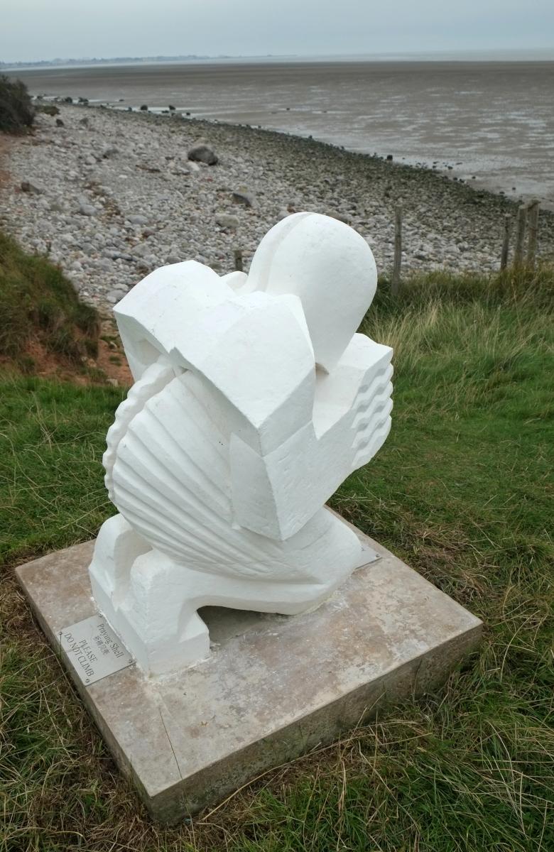
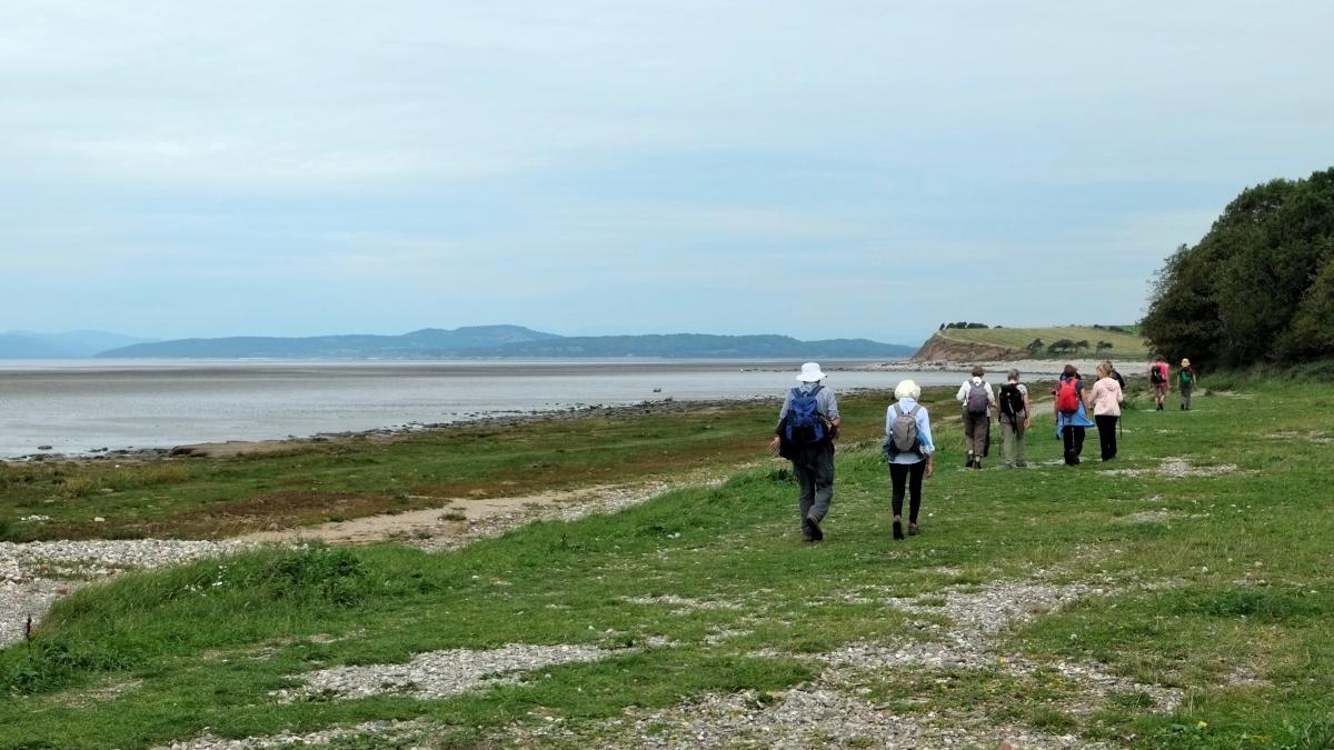
3 Follow the road around to the right to walk along the coast northwards. Near a big stone wall on the right go through a gap stile (signed the Lancashire Way). Walk uphill to cross a stile in the top left corner then descend to view the Praying Shell statue on the left. Artist Anthony Padgett created the statue to inspire walkers with a symbol of reflection, renewal and environmental integration. It is situated above the site where, in 2004, 23 Chinese cockle pickers died after being cut off by the incoming tide. Cross a stile into the caravan site through Red Bank farmyard and past Archers Café to where the walk began. The café sells salt marsh lamb from sheep and lambs that are allowed to graze freely on the local coastal marshes. The marsh vegetation is naturally rich in nourishment and supports an abundance of salt tolerant grasses and herbs such as samphire, sparta grass, sorrel, sea lavender and thrift. These help to give the lamb its tender texture and unique light flavour.
Next week: farm and gunpowder trail from Low Sizergh Barn
NB: restrictions on space mean that this article provides a general summary of the route. It is advisable for anyone who plans to follow the walk to take a copy of the relevant Ordnance Survey map.


Comments: Our rules
We want our comments to be a lively and valuable part of our community - a place where readers can debate and engage with the most important local issues. The ability to comment on our stories is a privilege, not a right, however, and that privilege may be withdrawn if it is abused or misused.
Please report any comments that break our rules.
Read the rules here