
Whitbarrow's Lord’s Seat and Township Allotment with JOHN EDMONDSON
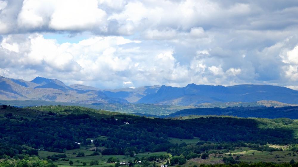
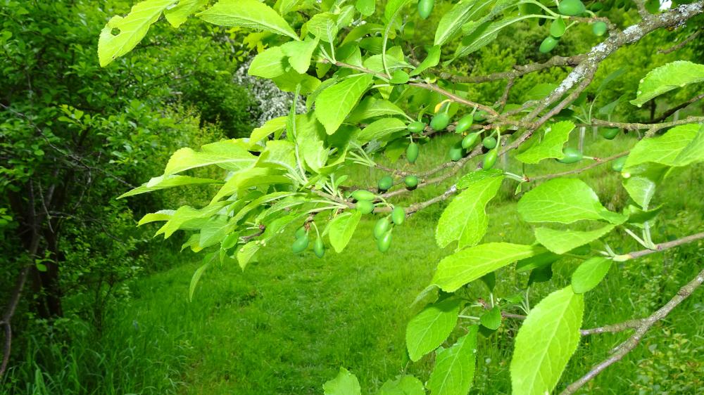
THIS short walk explores damson orchards, woodland and the limestone plateau of Whitbarrow. There are no steep climbs or descents but you get 360 degree views - a high reward for the moderate effort. In addition to enjoying panoramic views, by looking at the ground you will see numerous unusual plants.
Start from the layby opposite the Lyth Valley Country Inn on the A5074 Windermere to Lancaster road, map reference SD 452 896, postcode LA8 8DB.
INFORMATION
Distance: 4.5 miles with 800 feet of ascent
Time: 2.5 hours
Terrain: stony tracks and footpaths.
Map: OS Explorer OL7
ROUTE
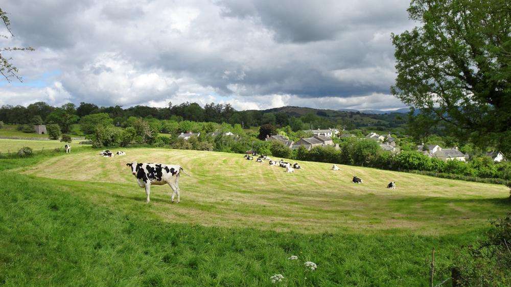
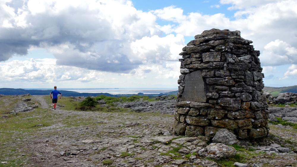
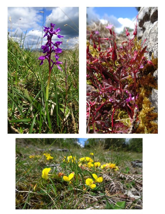
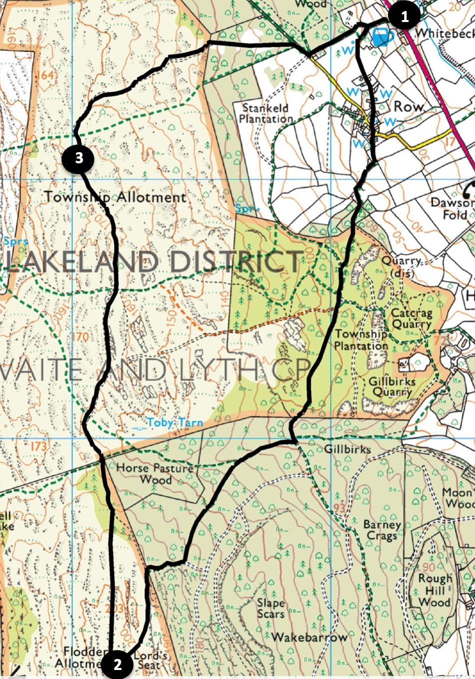
1 From opposite the Lyth Valley Inn walk up the bridleway bearing left at a junction. Pass Dale Lea and turn left along the track to Row village. Turn left onto the lane and after passing The Barn turn right onto a signed footpath near Fair View and Springside Cottage then along a hedged lane to a gate and stile. Turn right and walk up the hedged path then turn left across the field to a gate with a squeeze stile in the top corner. Enter the damson orchard and bear left to cross a fence stile into woodland of Township Plantation. Go through a squeeze stile and keep right into the coppiced woodland. Branch left onto a larger path joining a track. Keep ahead, avoiding the uphill track to the right. The track narrows to a stony path, goes through a gated wall stile and then descends. As the path starts to rise again turn right and go through a wicket gate (weighted with a brick) and along a stony uphill track. Keep left at a Y junction and at the path junction near the top turn right. Go through a wall stile into the Hervey Memorial Reserve of Whitbarrow. Turn left and follow the track curving to the right to reach the stone pillar of Lord’s Seat, the highest point of the walk. The carboniferous limestone of Whitbarrow and very thin soil supports spring flowers such as early purple orchids, hoary rock rose, primrose and blue moorgrass. The rich flora attracts four species of fritillary butterfly in summer. The limestone pavements provide sheltered places for a range of unusual plants such as hart's tongue fern, rigid buckler fern, hard shield fern or limestone polypody.
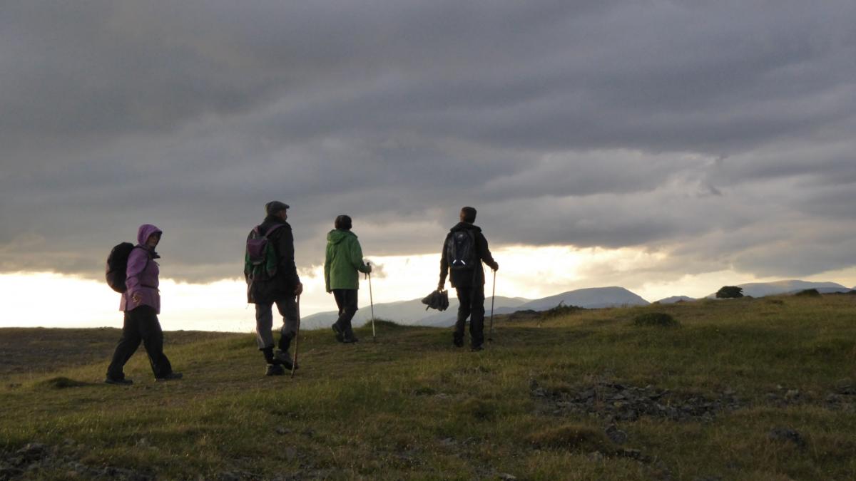
2 After admiring the 360 degree views from the summit, head back northwards on the path slightly left of the one just used. Follow the ridge path keeping right where the main path descends towards the Winster valley. Branch off the path to the right to descend through thin woodland and merge with another path parallel to a wall on the right. Climb over a ladder stile and follow the track continuing northwards across Township Allotment, so named after Enclosure Acts in 1815 made over the land to the people of Crosthwaite and Lyth. Pass a cairn, keeping left along the ridge. Three quarters of a mile from the ladder stile you pass a large tree on the left.
3 Take the next turn right and walk along the track going below an embankment on the right and descending gradually. A view of Brigsteer can be seen across the Lyth Valley ahead. Go through a gate and descend to the bottom right of the wooded field. Turn right on the track then, where the tarmacked area begins, turn left onto the bridleway past the white Boxwood Cottage. Descend Back Lane and the path beyond it to where the walk began.
Next week: Pendle Hill from Downham
NB: restrictions on space mean that this article provides a general summary of the route. It is advisable for anyone who plans to follow the walk to take a copy of the relevant Ordnance Survey map.


Comments: Our rules
We want our comments to be a lively and valuable part of our community - a place where readers can debate and engage with the most important local issues. The ability to comment on our stories is a privilege, not a right, however, and that privilege may be withdrawn if it is abused or misused.
Please report any comments that break our rules.
Read the rules here