
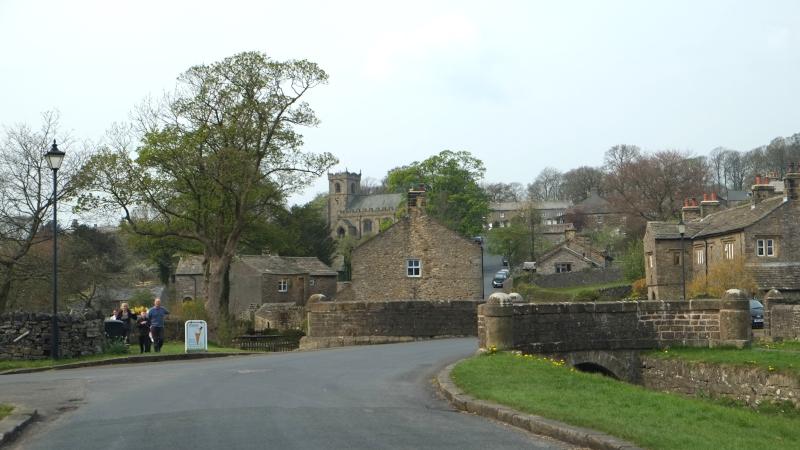
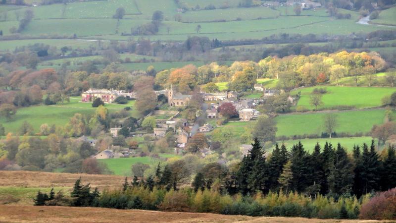
ONCE the home of wolves and wild boar, Pendle Hill is still mysterious and infamous as the home of the Pendle Witches who were tried and executed for witchcraft in 1612, writes JOHN EDMONDSON. This walk goes from Downham, which is possibly the most beautiful village in Lancashire. The village has a car park, toilets, pub and ice cream shop. A pastoral walk leading to the 1,827-feet summit is followed by a descent with panoramic views.
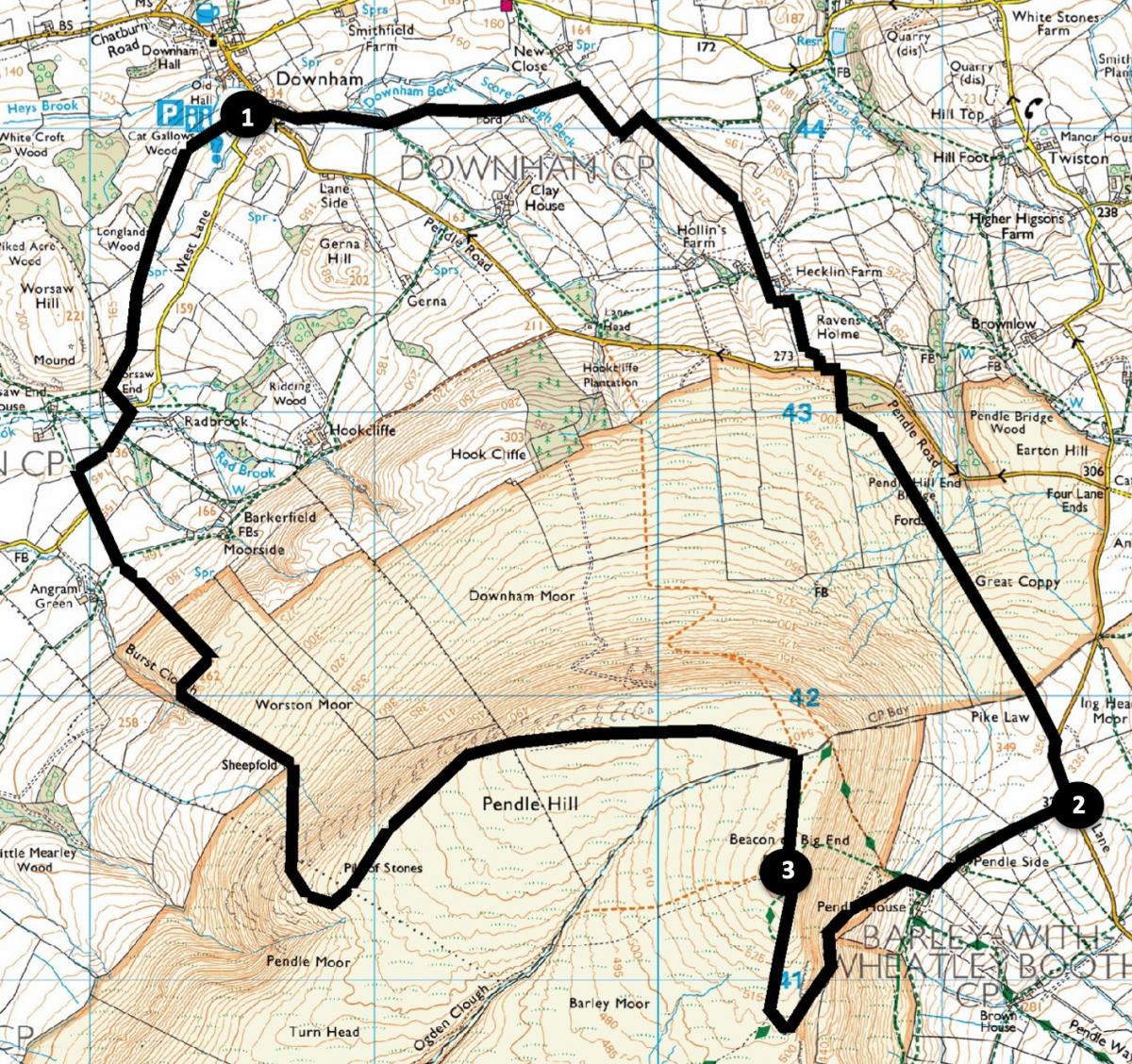
Start from Downham car park, grid reference SD 785 440, postcode BB7 4BS.
INFORMATION
Distance: 8 miles with 1,700 feet of ascent
Time: 4-5 hours
Terrain: mainly grassy paths and stony tracks.
Maps: OS Explorer OL41
ROUTE
1 From the car park entrance turn left and walk past Downham Ice Cream shop. Turn right then left to walk beside the beck. Go through a gate onto the signed grassy footpath, bearing left to cross a stile/gate and two wall stiles. Bear right in a large field to pass an enclosure in its middle. Cross a beck and field then go above a fence to a corner stile. Turn right to walk alongside the wall on the right to a wall stile beside an old quarry. Turn right before meeting a gate to go uphill to a wall stile towards Pendle Hill. Descend to pass to the right of Hecklin Farm and up the other side of the valley. Cross a wall stile above the farm and turn right onto the stony farm track in the direction shown on the stone sign for Barley. At the road turn left then right onto a signed uphill path to a wall stile then follow the waymarked path over a boggy area to a kissing gate on the left side of Pendle Hill. Walk beside the wall on the right to the road and turn right going downhill.
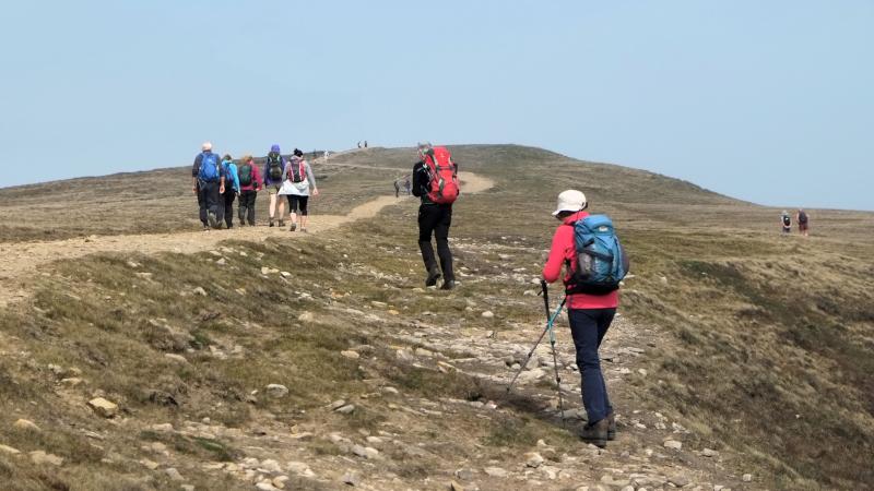
2 Turn right on the private road to Pendle House and Pendleside Farm keeping to the right of the farm lane. Go through two gates then onto the path to the left, zig-zagging up Pendle Hill and on to the trig point at its summit. Pendle owes is notoriety to the witch trials of 1612, when ten local people (nine women and one man) were found guilty of witchcraft and executed by hanging. The hill continues to be associated with witchcraft and every Hallowe'en, visitors come here hoping to experience the supernatural.
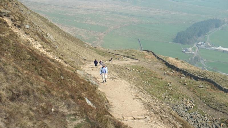
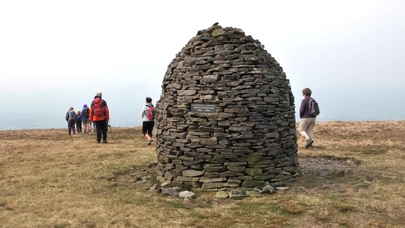
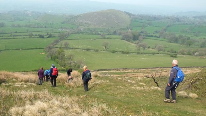
3 Continue past the summit to a wall where there is a stone seating shelter. Cross the wall by either the stile or gate then turn left onto a grassy path. After going over a ladder stile you pass a circular stone shelter and the Scout Memorial beehive monument. Panoramic views open up to the north. Descend to the right, bending right again at the base of the hill, then go around the outside of a wall on the left, through a boggy area with boardwalks, following a path with stone waymarker posts to a kissing gate, into a wooded area. Continue ahead along a tarmacked lane and road junction signed Downham. Stay on the road, bending to the right onto Quiet Lane then turn left onto the footpath signed Chatburn. Keep right to go through a gate, across a field, around the edge of a fence, past a dead tree and through a kissing gate in the corner near a wood. Follow the footpath alongside a hedge to a gate leading back to Downham with the car park on the left.
Next week: Silver How and Loughrigg Terrace from Grasmere
NB: restrictions on space mean that this article provides a general summary of the route. It is advisable for anyone who plans to follow the walk to take a copy of the relevant Ordnance Survey map.


Comments: Our rules
We want our comments to be a lively and valuable part of our community - a place where readers can debate and engage with the most important local issues. The ability to comment on our stories is a privilege, not a right, however, and that privilege may be withdrawn if it is abused or misused.
Please report any comments that break our rules.
Read the rules here