
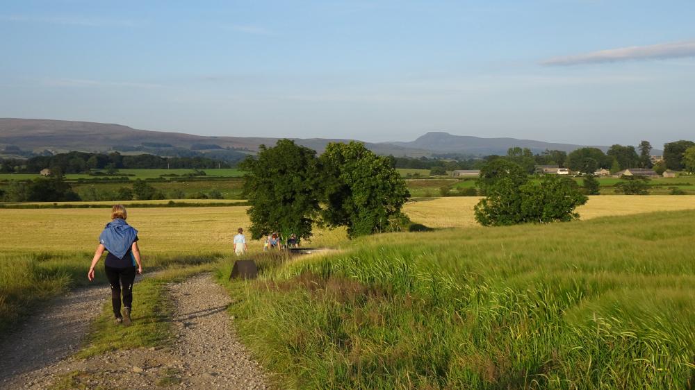
TRY this short easy countryside walk starting from Devil’s Bridge at Kirkby Lonsdale, writes JOHN EDMONDSON. It starts with a gentle climb across pastures and along leafy lanes to the historic village of Whittington. The walk then continues to the River Lune and returns along the riverbank.
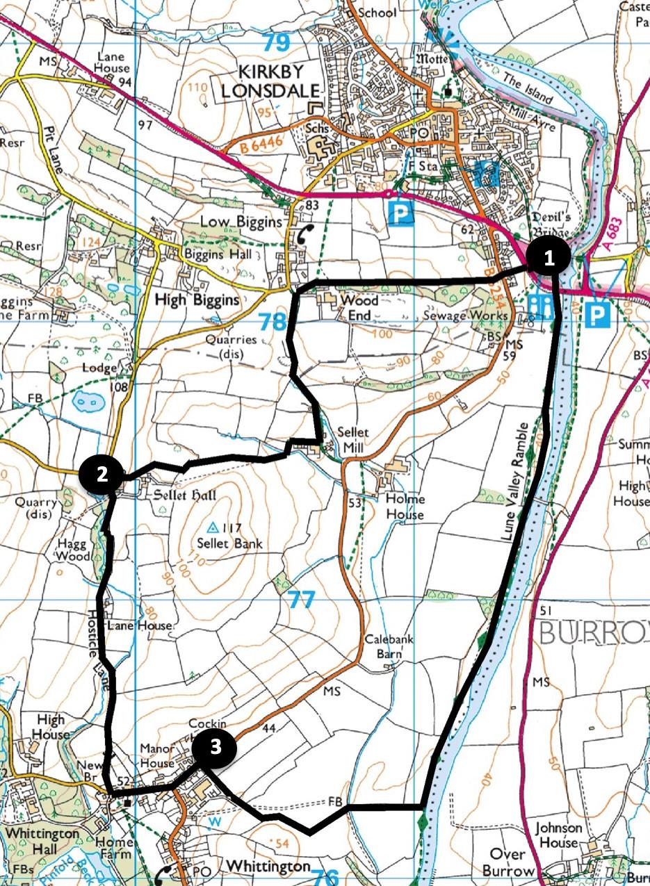
Start from Bridge Brow - the parking area on the west (town) side of Devil’s Bridge, grid reference SD 615 782, postcode LA6 2DF.
INFORMATION
Distance: 4.5 miles with 500 feet of ascent
Time: 2 hours
Terrain: grassy footpaths and quiet roads.
Map: OS Explorer OL2
ROUTE
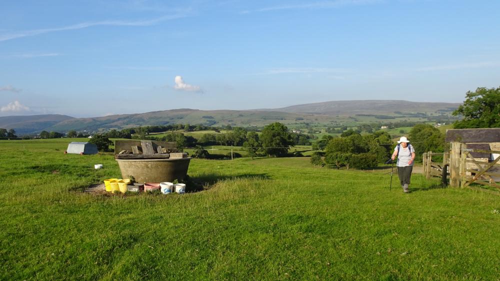
1 Go through the gate almost opposite the toilets and cross the park to the kissing gate opposite. Cross the A65 and then a field to a kissing gate directly ahead. Walk up the field to another gate, cross the B6254 and then go up steps onto the footpath signed Wood End. Walk up the field beside a wood on the left and through a kissing gate. On approaching the houses at Wood End go through a metal gate on the left and a kissing gate by a white house onto the footpath signed Sellett Mill. The enclosed path (Mill Lane) becomes stony and is like a riverbed as it descends with the beck sometimes running through it. Approaching Sellett Mill (once a water-powered corn mill) you pass a barn and enter a concrete area. Turn right over a stile into a field onto a signed footpath going alongside a hedge on the left. Go through a gate on the left and across to a wooden squeeze stile and gate. Turn right to go uphill alongside a hedge on the right, turn right over a fence stile and continue ahead in the direction of a footpath sign. After passing a circular drinking trough, cross a stile to a road and turn left onto Hosticle Lane, signed Whittington.
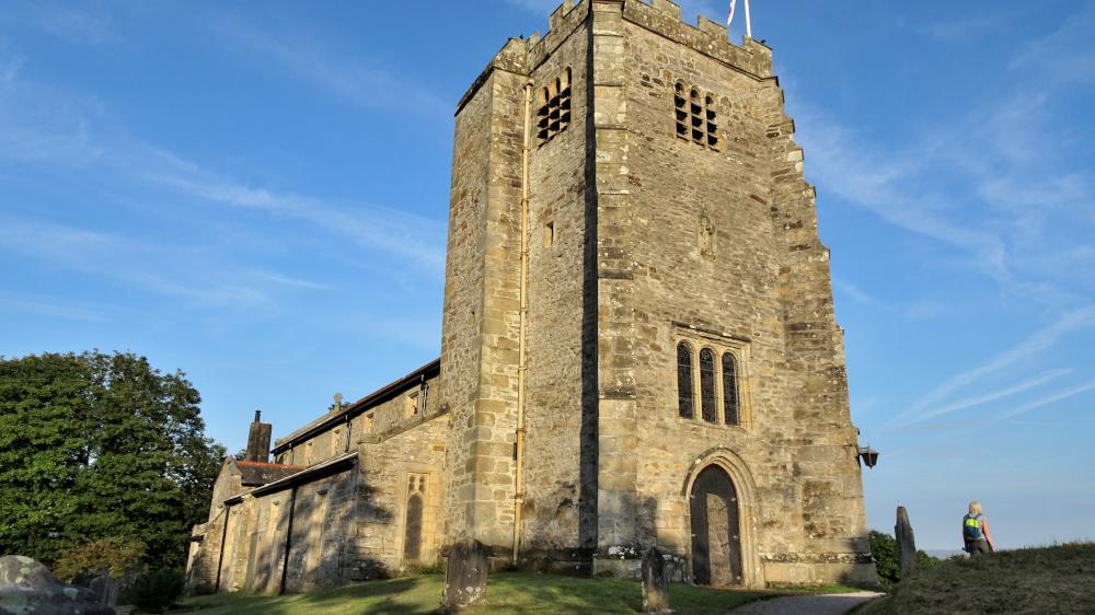
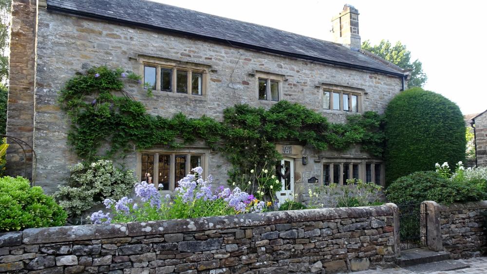
2 Walk past Sellet Hall (a grade II listed country house built about 1600) and continue down the wooded lane to meet a road in Whittington. Whittington is an historic village with traditional stone built Cumbrian cottages. It was the birthplace in 1783 of William Sturgeon, who invented the electro-magnetic motor. Turn left and pass St Michael The Archangel Church. An ancient motte and bailey castle was once sited here and the original church was built over its ruins in 1200. Turn left onto the B6254 towards Kirkby Lonsdale and pass the Manor House, dated 1658. At the speed delimiter sign turn right onto a signed footpath through a gate then across a stile.
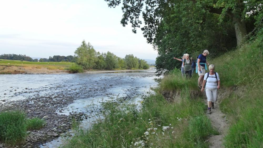
3 A view of Ingleborough appears in the distance. Follow the stony downhill track keeping ahead onto a hedged track where the main one swings right. On meeting the River Lune turn left to cross a stile then follow the riverside path back to Devil’s Bridge. The bridge was built in about 1370, probably as an ecclesiastical route for monks travelling between monasteries. Its name derives from a folk tale about an old woman who kept a few animals near the river. One of her cows strayed across the river and she could not get it back. The devil appeared and offered to build a bridge in one night if he could have the soul of the first one across. The bridge appeared next day with the devil’s hand print on a stone at its apex. The crafty woman outwitted the devil by sending her dog across first. The devil was so angry he disappeared in a cloud of smoke never to return. A deep impression in the stone is known as the devil’s hand print.
Next week: Monk Coniston and Grizedale Forest
NB: restrictions on space mean that this article provides a general summary of the route. It is advisable for anyone who plans to follow the walk to take a copy of the relevant Ordnance Survey map.


Comments: Our rules
We want our comments to be a lively and valuable part of our community - a place where readers can debate and engage with the most important local issues. The ability to comment on our stories is a privilege, not a right, however, and that privilege may be withdrawn if it is abused or misused.
Please report any comments that break our rules.
Read the rules hereLast Updated:
Report this comment Cancel