
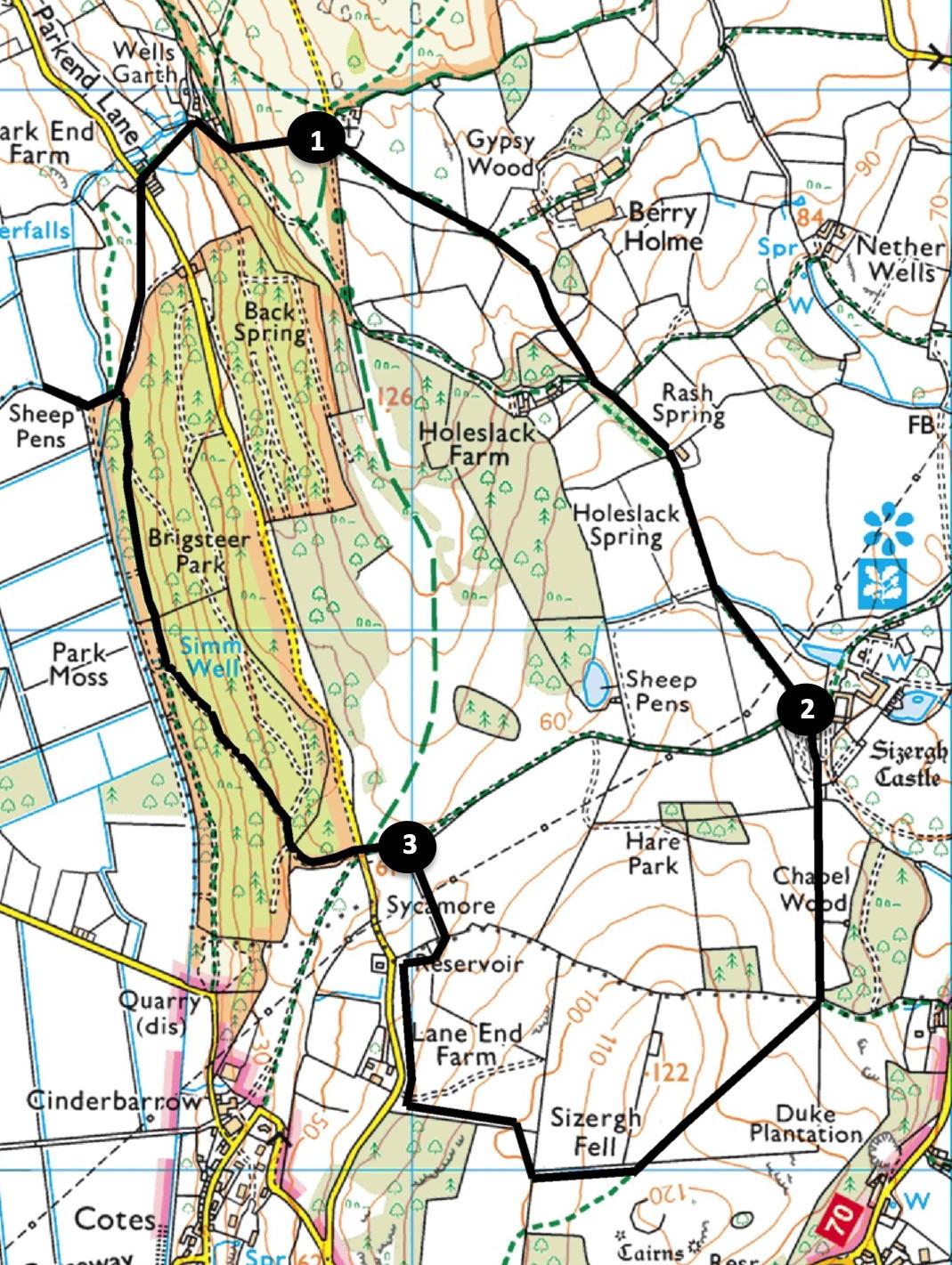
Helsington and Sizergh Fell by John Edmondson
If you are able to get out of the house for exercise then you might try this short walk: it’s close to Kendal but in an area where it is easy to keep a safe distance from others. It starts from St John’s Church, Helsington, which itself is in a spectacular setting with stunning views over the Lyth valley and Lakeland Fells: historically it may have been a site of open-air worship. Start from Helsington Church near Brigsteer (grid reference SD 488 889, postcode LA8 8AQ, what3words: ///palms.charge.state).
Distance: 4 miles with 660 feet of ascent
Time: 2 hours
Terrain: Good paths and tracks
Map: OS Explorer OL7
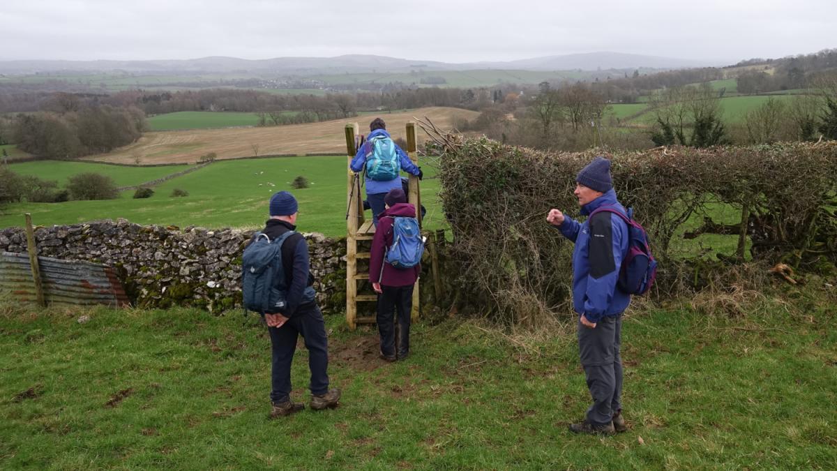
1. Follow the Berry Holme lane on the right of the church, going over a cattle grid. Where the concrete lane meets a wall on the right keep ahead (the lane bends left) and walk across pasture to the right of a wood. Descend to cross a ladder stile giving good views over Kendal.
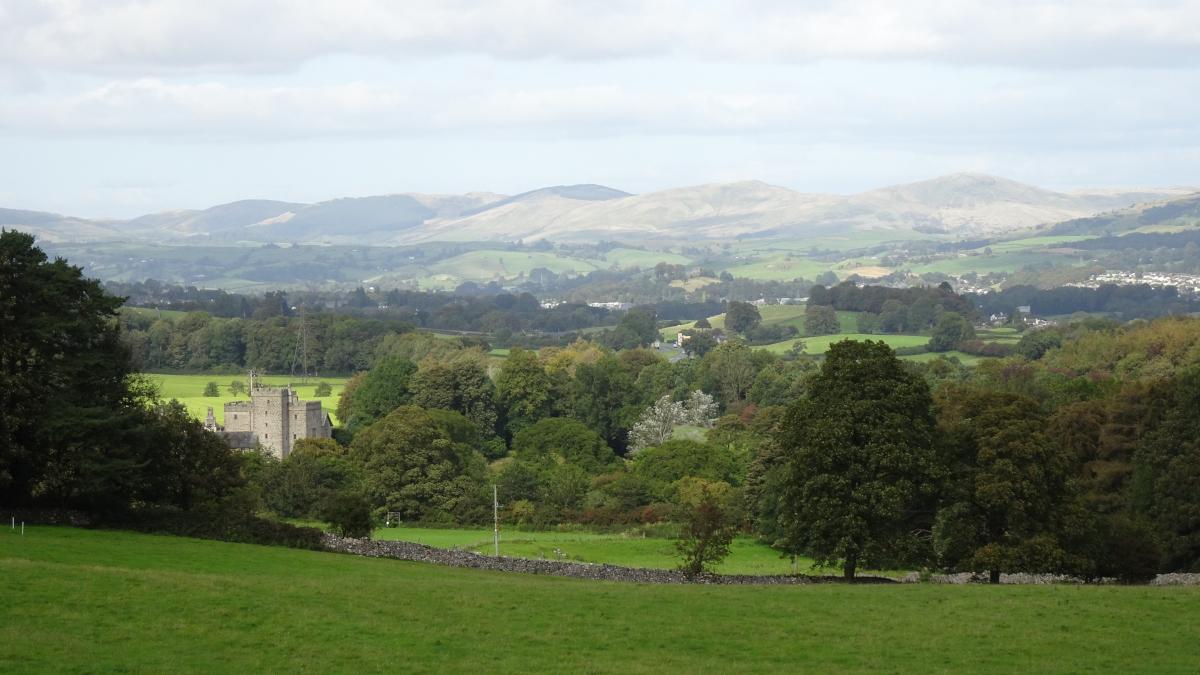
Continue downhill towards a barn and go through a gate on the right then down the track past the barn. After going through the two gates a view of Sizergh Castle appears above trees. Go through a gate and follow purple ‘Church Fell’ waymarkers to the castle.
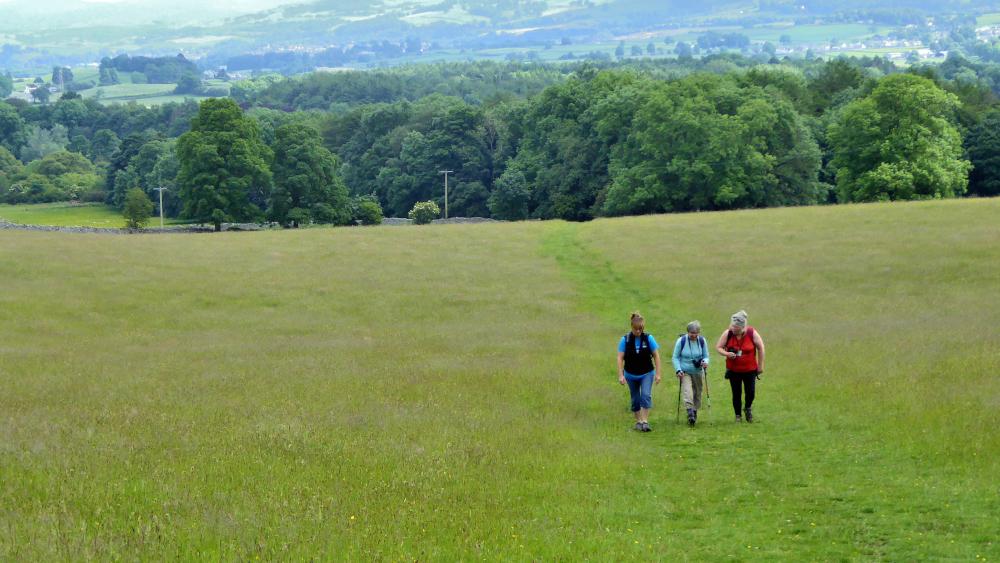
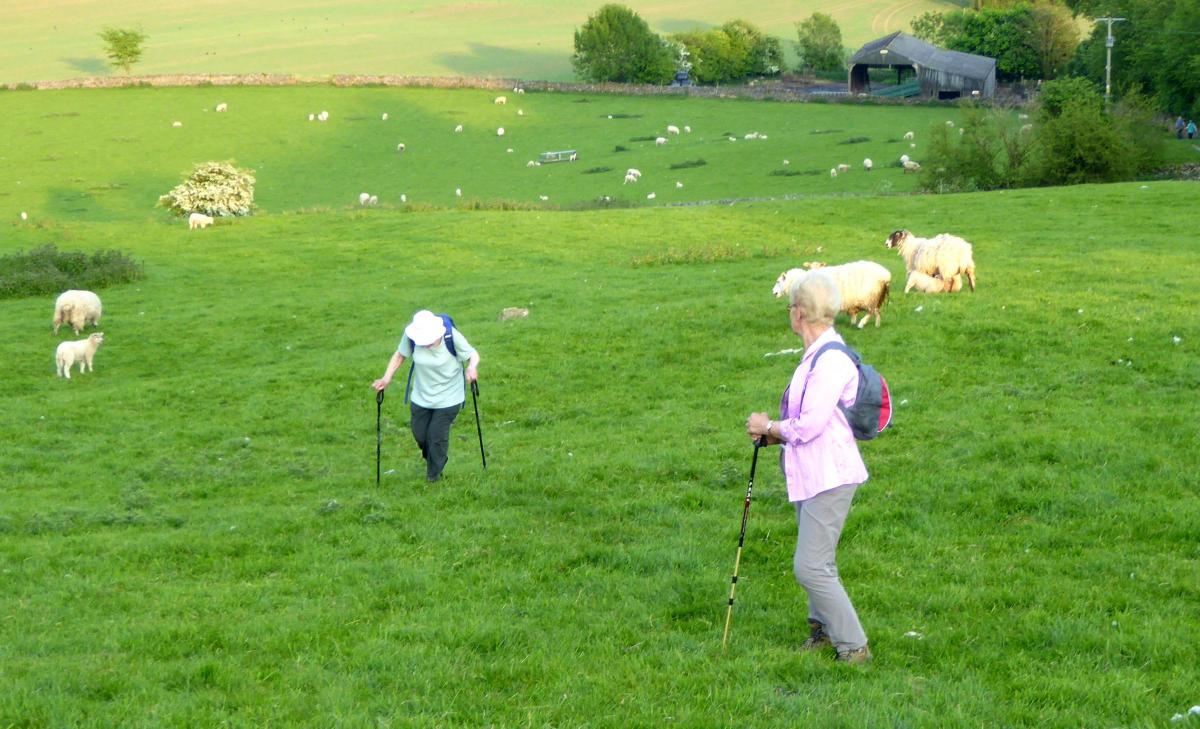
2. Walk along the path through the centre of the car park then keep ahead on the path signed Sizergh Fell and Levens Village. Continue following the purple waymarkers, at the corner of a wood going through two gates then diagonally across a field to Sizergh Fell. Turn right after a gate then right at a waymarker, descending parallel to a hedge on the right.
Turn right after the gate, then left after the next, descending beside a wall on the left towards a road. Before reaching the road, turn right at the waymarker and walk along the lower edge of the field, parallel to the road on the left. Near the end of the field turn right to go through a gate then left, through a wicket gate and alongside a wall on the left. After the next wicket gate turn left (the Church Fell walk goes right and returns to the castle here) to a high gate.
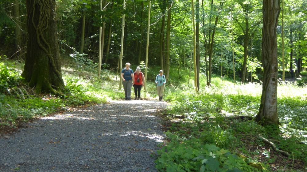
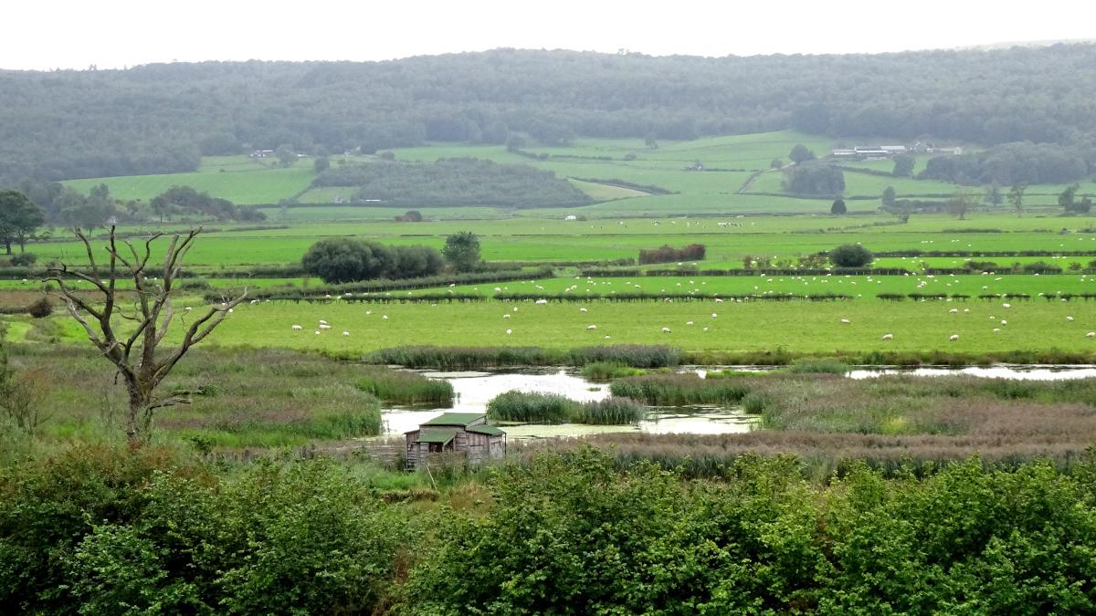
3. Cross the road into Brigsteer Park woods. Now follow the purple Park End waymarkers, bearing left at the first junction and walk along woodland tracks for three quarters of a mile. After the gate at the exit to the woods turn left for a short excursion to visit the bird hide. (If you don’t wish to visit the bird hide, turn right.) The wetland beyond the hide was created in 2014 and is now a haven for wildlife.
More than 100 species of bird, including Water Rail, Marsh Harrier, Sedge Warbler and Reed Bunting, have been recorded here. Fen areas were created by digging a series of channels and pools in the low-lying land with the higher land being left for grazing and wildflowers were planted on the limestone grassland. Walk uphill alongside the wood and bear left before reaching a barn to cross the field to a gate opposite Park End Farm. Cross the road and continue following the waymarked path through gates and up a steep hill to woodland. Follow the stony path up through the woods. After the exit from the woodland turn left, leaving the waymarked path to head steeply uphill directly to the trees that shield the church where the walk began.


Comments: Our rules
We want our comments to be a lively and valuable part of our community - a place where readers can debate and engage with the most important local issues. The ability to comment on our stories is a privilege, not a right, however, and that privilege may be withdrawn if it is abused or misused.
Please report any comments that break our rules.
Read the rules hereLast Updated:
Report this comment Cancel