

HUMAN remains have been discovered by Environment Agency archaeologists as excavation work for new flood defences continue.
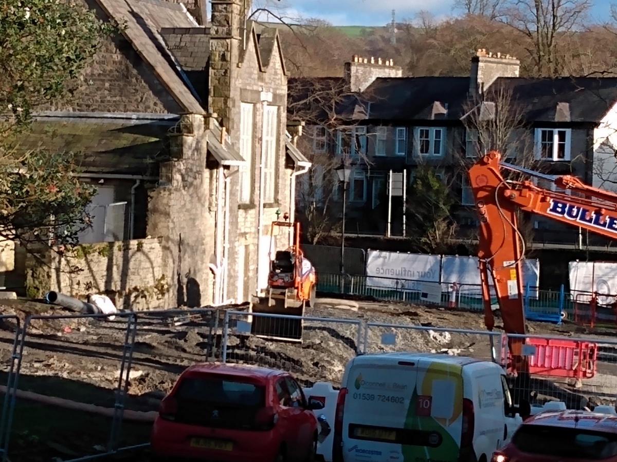
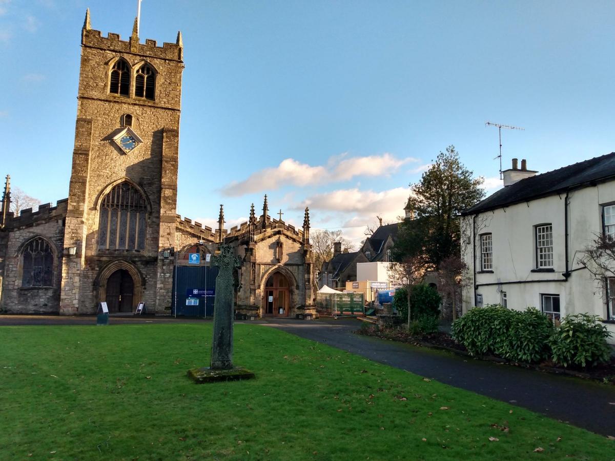
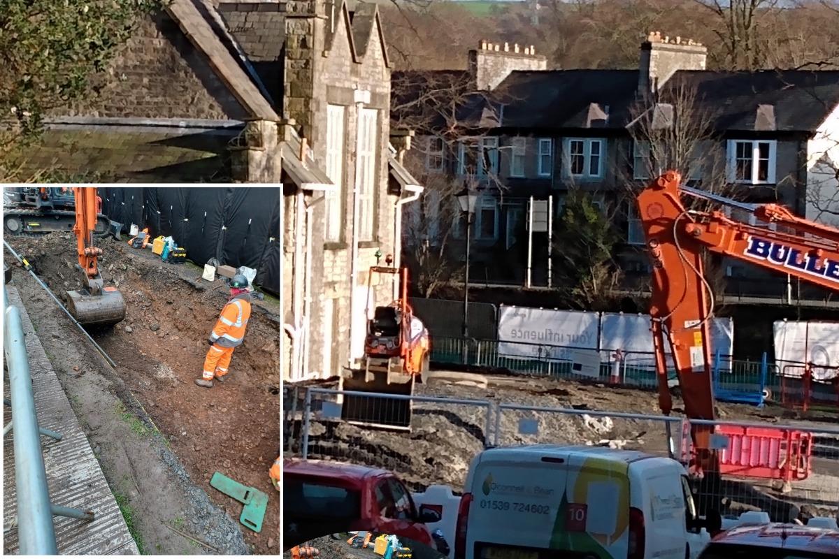
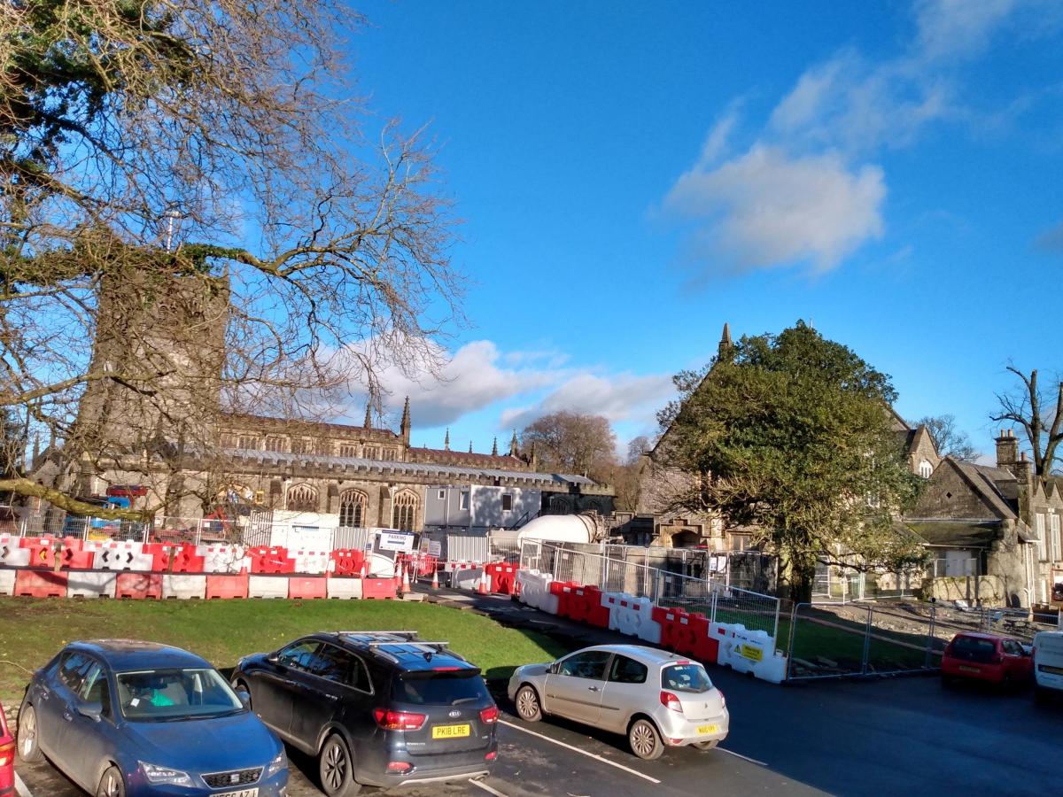
During the excavation works in the grounds of Kendal Parish Church, several examples of human remains and old burial sites have been unearthed.
Stewart Mounsey, Flood Risk Manager in Cumbria for the Environment Agency said: "We appreciate this is a sensitive matter and have briefed all the teams working on site.
"Throughout the works, our archaeologists have been present onsite and all findings have been recorded, excavated and removed for safe storage while the construction works take place.
"Once works are completed, any human remains found will be returned to the churchyard for reburial.
"As part of the Environment Agency’s planning application and due to the church’s historical significance, it was recognised that these excavations may find archaeological remains including old buildings and unmarked burial sites. We have been in discussion with the Local Planning Authority (South Lakeland District Council) the Church and the Diocesan Advisory Committee about these works. "
Before the works started, the vicar of the Church conducted a ceremony with representatives of the church, the Environment Agency, and contractors VBA, out of respect to the churchyard and the invasive nature of the excavation about to take place.
Mr Mounsey said: "During works our archaeologist have encountered several burials as well as limited evidence for the former vicarage, Glebe House, which was demolished in the early 20th century.
"The burials that have been excavated will be assessed by specialist osteoarchaeologists and it is hoped that this analysis will open a small window into the lives of those living in Kendal in the past.
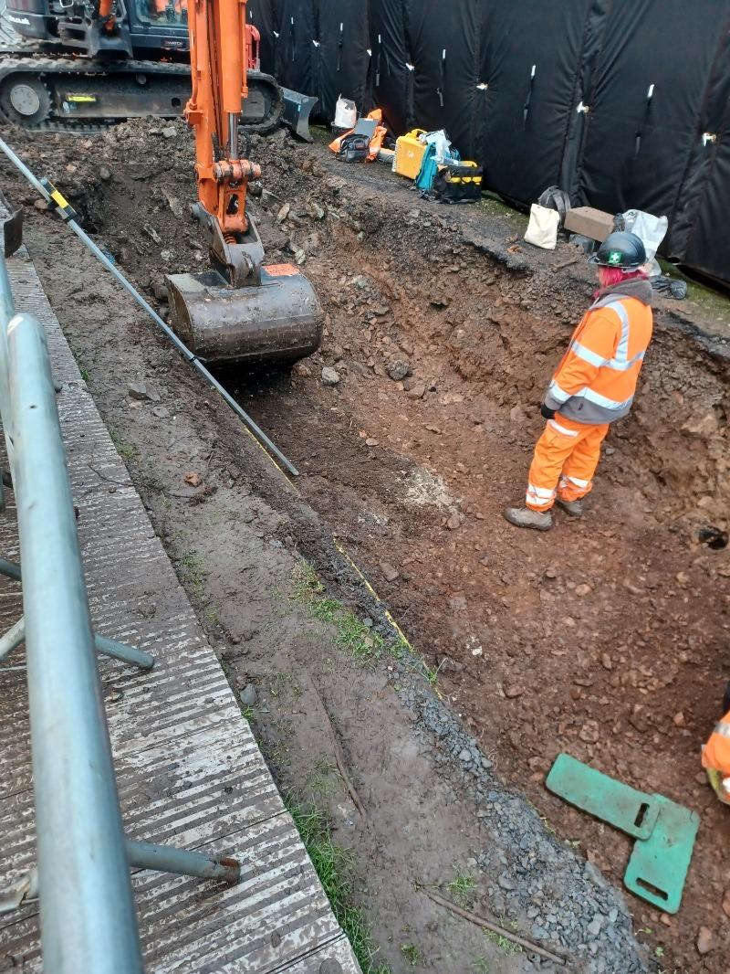
"Wherever possible we have sought to leave burials where they are as long as our works will not damage them.
"However, a number would have been impacted by construction work and so our archaeologists have recorded them before they were carefully lifted to be transported to secure storage.
"The Environment Agency and contractors are not excavating marked graves, and reburial will be in the churchyard as close to their original resting place as is possible.
"The archaeologist is following all professional guidance as required by the Chartered institute for Archaeologists and will conduct themselves in accordance with the requirements of the Advisory Panel on the Archaeology of Burials in England guidance.
"When completed, the new flood defences will better protect the Parish Hall and other building in this area of Kendal from flooding as well as over 1,400 homes and 1,100 businesses across the wider River Kent catchment."
Throughout the three-year scheme, archaeologists will be present throughout excavation works will be carried out at a number of areas of potential significance, and all findings will be recorded:
An Environment Agency spokesman said: "Our archaeologists hope to be complete in this area soon and following this will start investigation at Waterside looking for evidence of Kendal’s medieval and post-medieval past.
"Where work is required on or near to historic structures, archaeological and heritage specialists will monitor the work taking place, record finds, and ensure any items temporarily removed are accurately restored.
"The historic fountain currently located at Jennings Yard will need to be relocated as it is positioned on the line of the new flood defence.
"New locations are currently being assessed."
The Environment Agency have earmarked another area of historical significance where archaeological findings may be recorded.
"In the southern most reaches of the Kendal Flood Risk Management Scheme are the communities of Helsington Mills and Watercrook," a EA report said.
"These sit within a landscape which is of heritage importance that includes Laithes Mill Race and Leat which are considered part of the grade II listed structure.
"A buried Roman Fort and settlement, of national importance, can also be found here which is protected as a Scheduled Monument.
"The scheme has been designed to avoid any impacts to this monument and limited work will be undertaken in the area. An archaeologist will monitor all works in this location during construction."
The scheme eventually plans to incorporate around 6km of flood defences in total throughout Kendal, with over half being set back from the riverside.
They are designed to blend naturally into higher ground through the town and will be a combination of walls, embankments and sections of glass panels.
The glass panels will aim to retain views of the river and key areas of interest, and will be installed at Gooseholme, Waterside, and Aynam Road.


Comments: Our rules
We want our comments to be a lively and valuable part of our community - a place where readers can debate and engage with the most important local issues. The ability to comment on our stories is a privilege, not a right, however, and that privilege may be withdrawn if it is abused or misused.
Please report any comments that break our rules.
Read the rules hereLast Updated:
Report this comment Cancel