
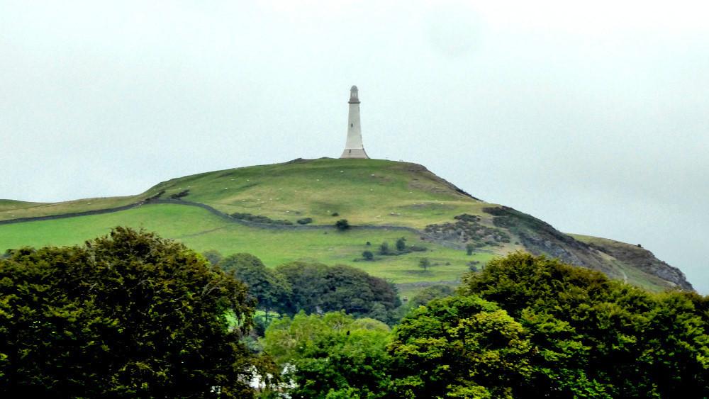
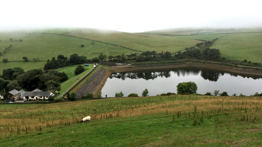
THIS short walk offers an overview of Ulverston from its west side with Hoad Monument standing proudly on the opposite side of town, writes JOHN EDMONDSON. The high point of the walk is Copse Hill, from which you can look down on Pennington Reservoir tucked away in a hollow of the hills.
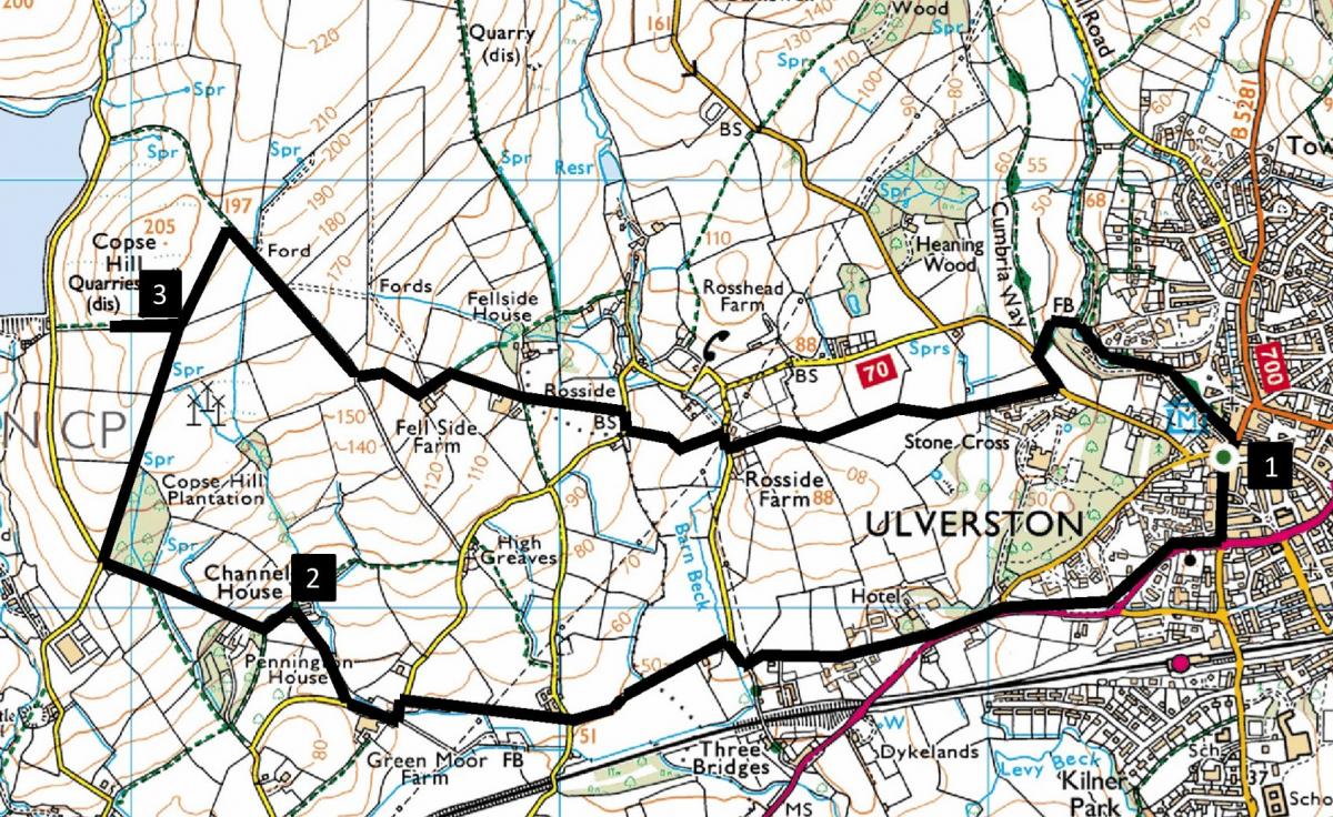
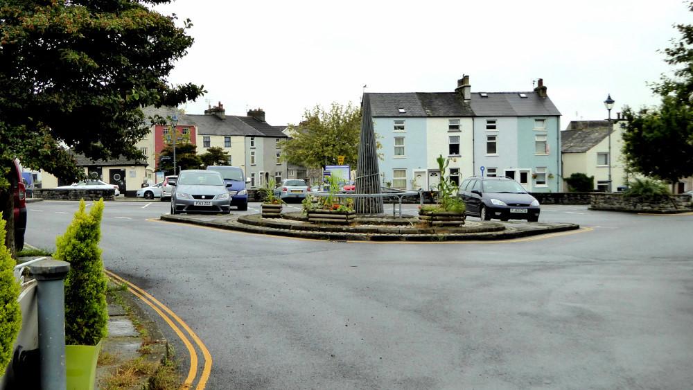
Start from the centre of Ulverston.
INFORMATION
Distance: 5 miles with 650 feet of ascent
Time: 2.5 hours
Terrain: grassy footpaths, roadside pavements and quiet lanes
Map: OS Explorer OL6
ROUTE
1 Leave Ulverston by walking along the pavement beside the A590 towards Barrow for about half a mile. Turn right opposite a blue house onto Pennington Lane and walk past Hillfoot Garden Centre and Hotel. Continue along the lane for 0.6 of a mile, including a right-left double bend, and at a T junction by Hollow Ghyll Lane go straight ahead through a metal kissing gate onto the footpath signed Green Moor. The path slants right towards a white house and goes through a gate below high-tension cables then alongside a hedge on the left. Turn left along the road bending right past Green Moor Farm then turn right below a tree onto a footpath signed Channel House.
2 Keep to the left of the blue silo, go through a gate then turn left in front of the houses. Turn right onto the signed uphill track, go through a gate then continue ahead up over a field then through a gate to the edge of a wood. Pass through a gate on the left then walk along a fenced grassy track to meet a road. Turn right along the uphill track signed Copse Hill. After going through a gate near the top of the hill make a short detour to the left to view Pennington Reservoir from above.
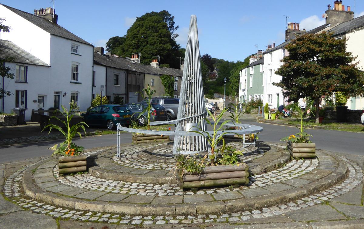
3 Return to the track and continue walking along the hedge on the right. Cross a fence stile to the left of a gate then turn right along a straight downhill track. Where the track bends right, go through a gate on the left and down the field to a gate on the left of Fellside Farm. Walk ahead down a concrete track, bending right to go downhill beside a concrete barn. Beside the entrance to Fellside House on the left keep straight ahead through a gate. Descend the field along the line of overhead cables. Go over a stile to a road and turn right. After 25 yards turn left onto a signed footpath leading to a gate by the entrance to The Cottage. Turn right onto the road and after 25 yards left onto the signed footpath going between houses past The Old Diary. Go over a stile on the left of a brown wooden shed, through a metal kissing gate and straight on, passing a small pond, over stiles and a boardwalk. A view of Hoad Monument appears ahead. Keep to the left side of the field (once a cricket pitch) and go through a metal kissing gate on the left then along the edge of a field directly towards Hoad Monument, passing an estate of white houses on the right. Turn left along the road and after 80 yards turn right onto the walled path signed Cumbria Way. Cross the beck and turn right then follow the path to enter Ulverston by the 'cairn and compass' sculpture in The Gill car park.
Next week: Newby Bridge, High Dam and Yewbarrow
NB: restrictions on space mean that this article provides a general summary of the route. It is advisable for anyone who plans to follow the walk to take a copy of the relevant Ordnance Survey map.

