
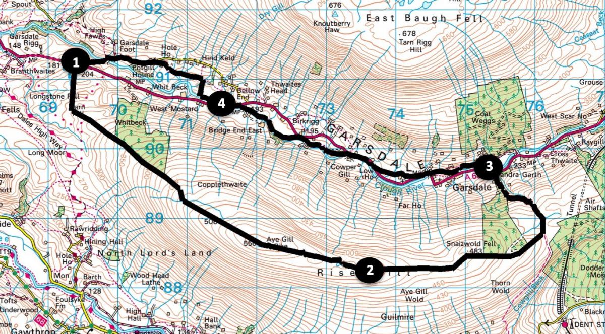
Aye Gill Pike and Garsdale
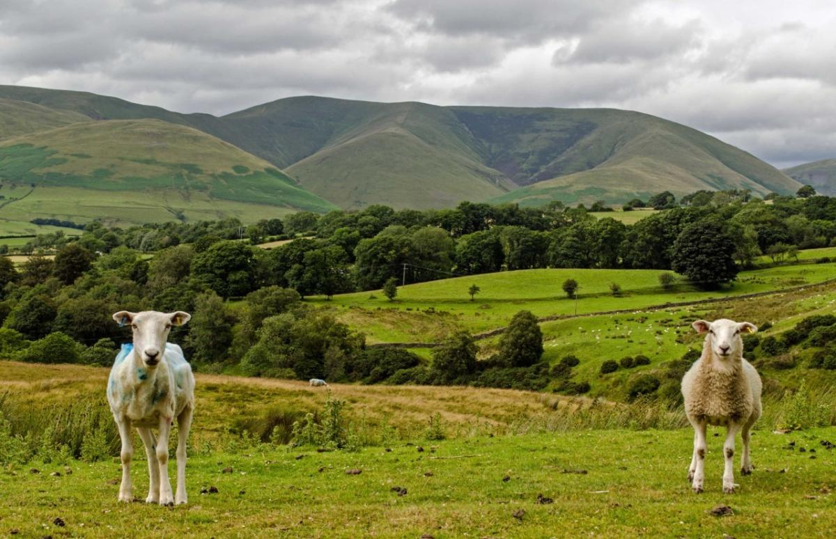
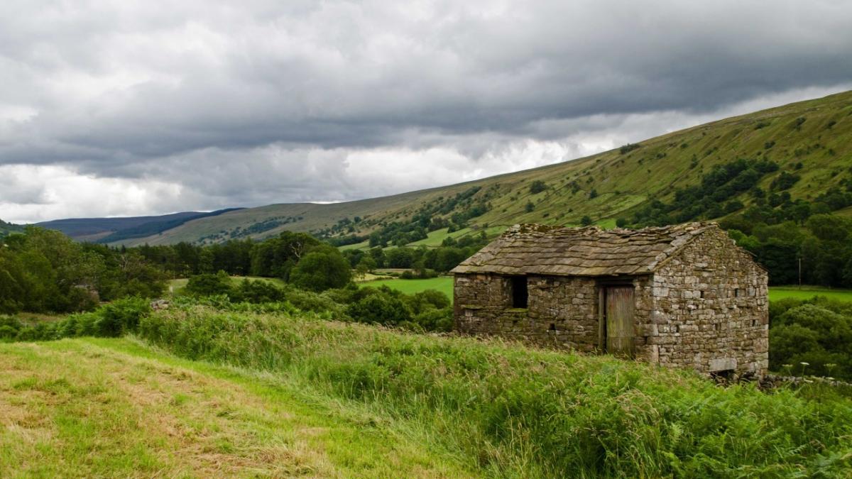
THIS walk near Sedbergh starts at Tom Croft Hill with a steady 2.5 mile ascent to Aye Gill Pike and continues over Rise Hill, writes JOHN EDMONDSON. Panoramic views of the Howgills, , Barbon High Fell and Whernside can be enjoyed throughout the climb. A splendid view of Dent Head valley and the railway then appears and the walk descends to return beside the Clough River in lovely rural Garsdale.
To drive to the start, take the A684 east from Sedbergh; half a mile after crossing a cattle grid park in the large parking area on the left, map reference SD 693 912, near postcode LA10 5NR.
INFORMATION
Distance: 10.5 miles with 1,600 feet of ascent.
Time: 5.5 hours
Terrain: rough fell, boggy in parts
Maps: OS Explorer OL19 and OL2
ROUTE
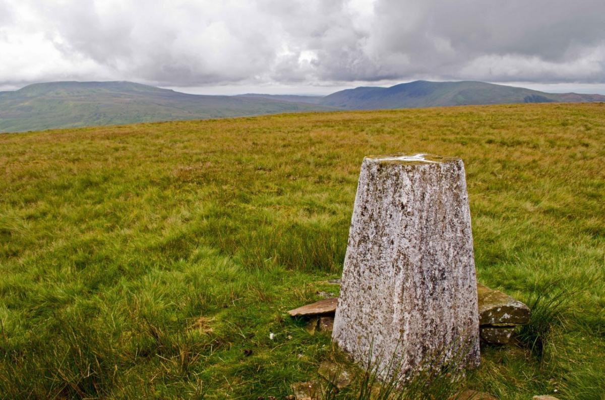
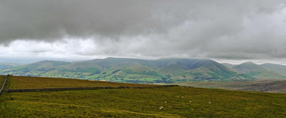
1 Cross the road and ascend the rough Longstone Fell. Aim for the high point (quad tracks help) then swing left towards the conifer woodland of Whitbeck and walk alongside the wall on the left over North Lord’s Land. Pause regularly to look back for views over Sedbergh and the Howgills. Continue past the woods and cross a gated stile in the top corner then go alongside the wall on the right. Cross two more gated wall stiles to reach the 1800-foot summit of Aye Gill Pike. The trig point is across a fence stile. Continue ahead alongside the fenced wall on the right over Rise Hill. Splendid views appear to the right of Barbon High Fell, Whernside, Barbondale and Deepdale; and ahead of Garsdale.
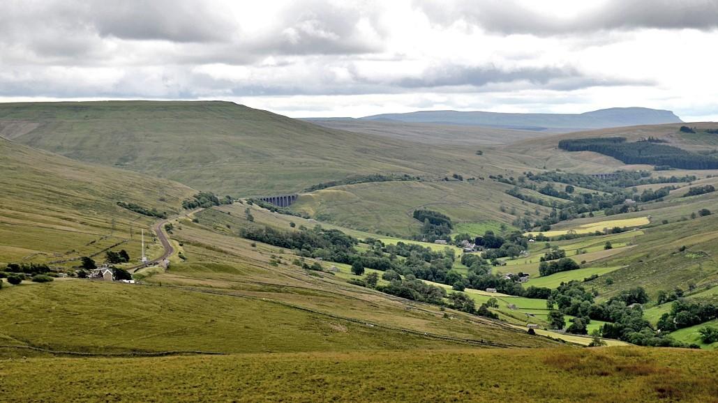
2 Keep alongside the wall on the right over Snaizwold Fell then cross a fence stile shortly before reaching conifer woodland. Dent Head valley with the railway and viaducts can be seen below. Follow the path over a stile to the right of the wood, continue around it and then descend beside a wall on the left. Cross a fence stile and turn left onto a rough grassy bridleway that is partly paved with flagstones. Descend left through a deeply rutted reedy area then through a gate and through woodland to the A684. Turn left and after 100 yards right to cross a bridge over Clough River.
3. The track goes behind Bends Bridge End then swings sharply left. Keep left onto the footpath in front of a house. Keep above woodland close to the river and meet the A684 near Smorthwaite bridge. Keep right onto the footpath signed Slack. Go through a squeeze stile on the right then keep right of Blades farm (as signed). Cross a gill, pass to the right of wooden barns then go along the edge of a field to meet the A684 again. Turn right and walk beside the road for a quarter of a mile then turn left onto the path signed New Bridge. Cross a field, go over a gill and through a gate. The riverside path joins a farm track at West Bridge End. Turn left through a metal field gate and continue along the path to New Bridge.
4. Cross the A684 onto the path signed Hole House. At the end of the field turn right (signed), up past a barn then left through a reedy area and gated stiles. Walk along the bottom edge of fields then through gates left of a farm. Go through a gate then keep right to join a track past Hole House Cottage. Turn left and follow the minor road for 0.7 mile. Keep left, cross Clough River, and ascend to where the walk began.
Next week: Hutton Roof
NB: restrictions on space mean this article provides a general summary of the route. It is advisable for anyone who plans to follow the walk to take a copy of the relevant Ordnance Survey map


Comments: Our rules
We want our comments to be a lively and valuable part of our community - a place where readers can debate and engage with the most important local issues. The ability to comment on our stories is a privilege, not a right, however, and that privilege may be withdrawn if it is abused or misused.
Please report any comments that break our rules.
Read the rules here