
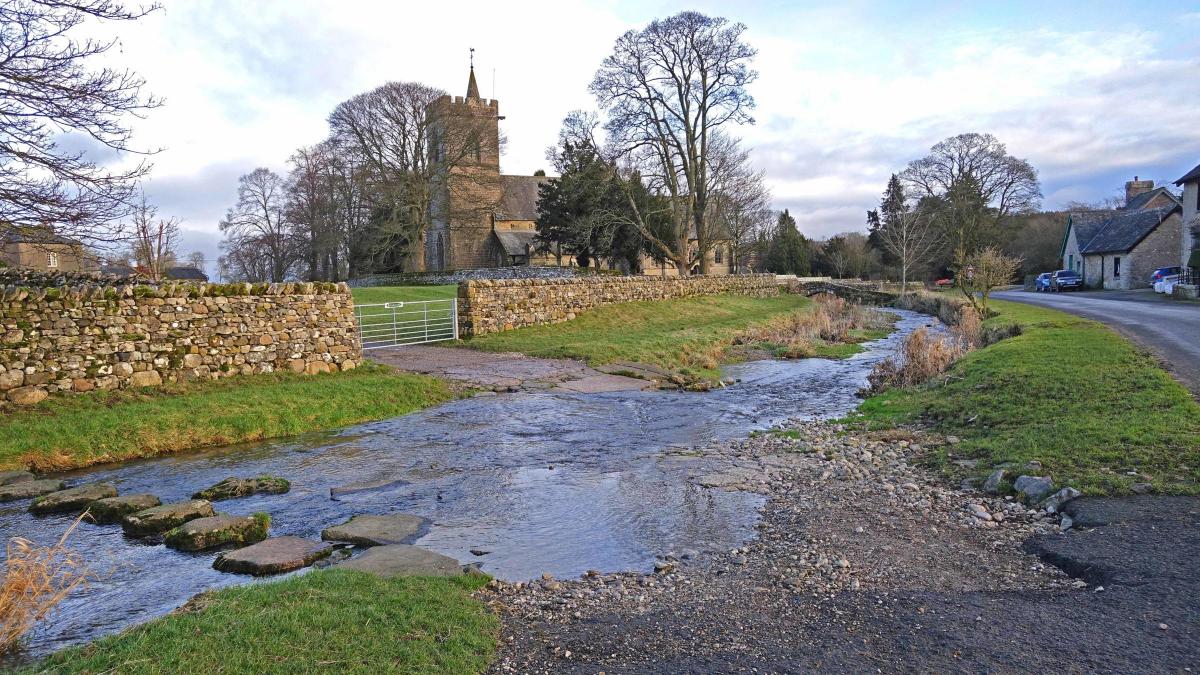
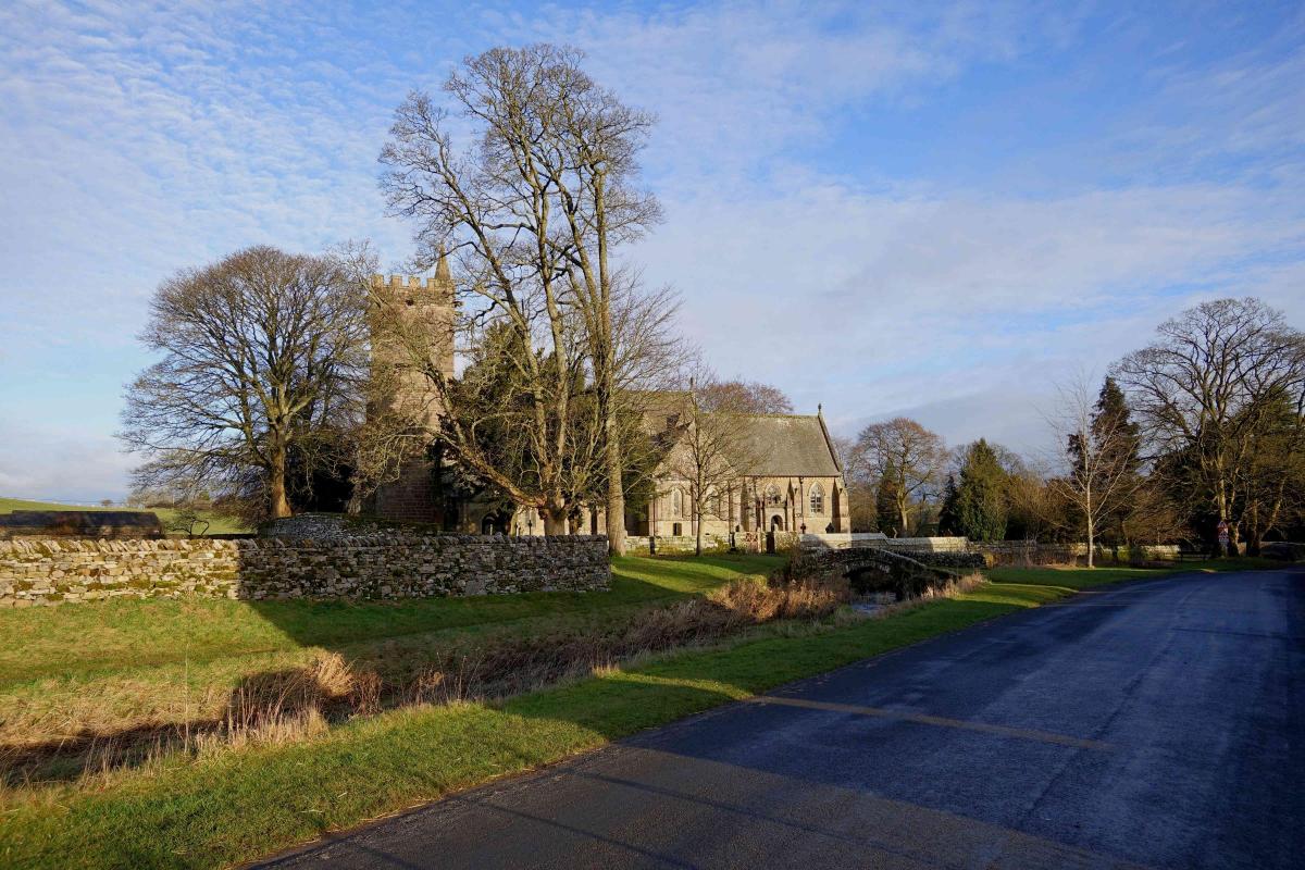
The picturesque village of Crosby Ravensworth and its nearby fell lie in Cumbria and since August 2016 have been part of the Yorkshire Dales National Park. This varied walk includes the village, the lovely Lyvennet Beck, and the open fell. Start from the bus shelter opposite Crosby Ravensworth village hall (map ref NY 621 147, postcode CA10 3HY, what3words: ///flamingo.person.shadowed)
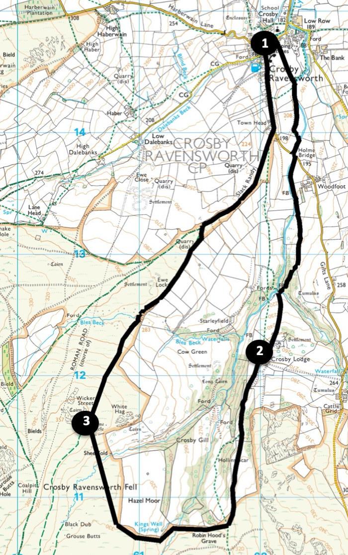
Distance: 6.5 miles with 800 feet of ascent
Time: 3.5 hours
Terrain: Easy paths and tracks with gentle slopes
Map: OS Explorer OL19
1. From the bus shelter turn left towards St Lawrence’s Church, which has been called a cathedral in miniature. Just after passing the ford and stepping stones on the left turn right onto the path signed Holme Bridge. Follow the track along the edge of the field up to the side of Lyvennet Beck. Go over a ladder stile on the right and continue walking beside the fence on the left.
Cross a step stile and continue beside the river on the left to a road. Turn left to cross the bridge then immediately right onto the path signed ‘Crosby Lodge, Orton’. Go through a metal gate and stay in the field with a wall on the right to a stile next to a gate in the right corner. Cross a wall stile left of the gate and keep straight on along the line of an old hedge then a fence. Go through a gate on the right and descend along a track to a gate.
Cross a bridge over Raven’s Gill and turn left along the stony track leading up to Crosby Lodge farm. Just before reaching the farm turn right, go over a wall stile, through a gate next to the farm, another on the right and then turn left past the farm.
2. Walk up alongside a wall on the left, bypassing a gate and continue on the stony track through a gate. 700 yards after the farm, at a Y-junction (with waymarkers) bear left, go through a gateway and keep ahead over a field and beside a fence on the right. Go through a gate on the right, over a gated step stile on the left then along a mossy tread alongside a wall on the right.
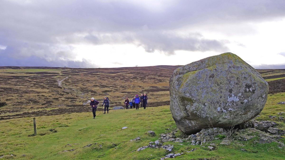
This is part of the Coast to Coast Walk. The Robin Hood’s Grave shown on the map is just one of many places associated with that legendary character. Cross a steep-sided small valley and after a second valley, which contains the source of Lyvennet Beck, the path bend lefts. Continue uphill, go around the outside of the wall on the right, bending right again around its corner, then bear left and follow a grassy track up to a large boulder.
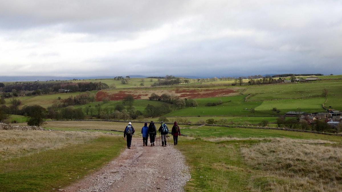
3. Bear right: the grassy path returns to a continuation of the wall that was followed previously. The next 2 miles of the walk proceeds downhill beside this wall, later merging with a stony track and descending to meet a tarmac lane. On reaching the lane turn left for the final half mile to where the walk began.
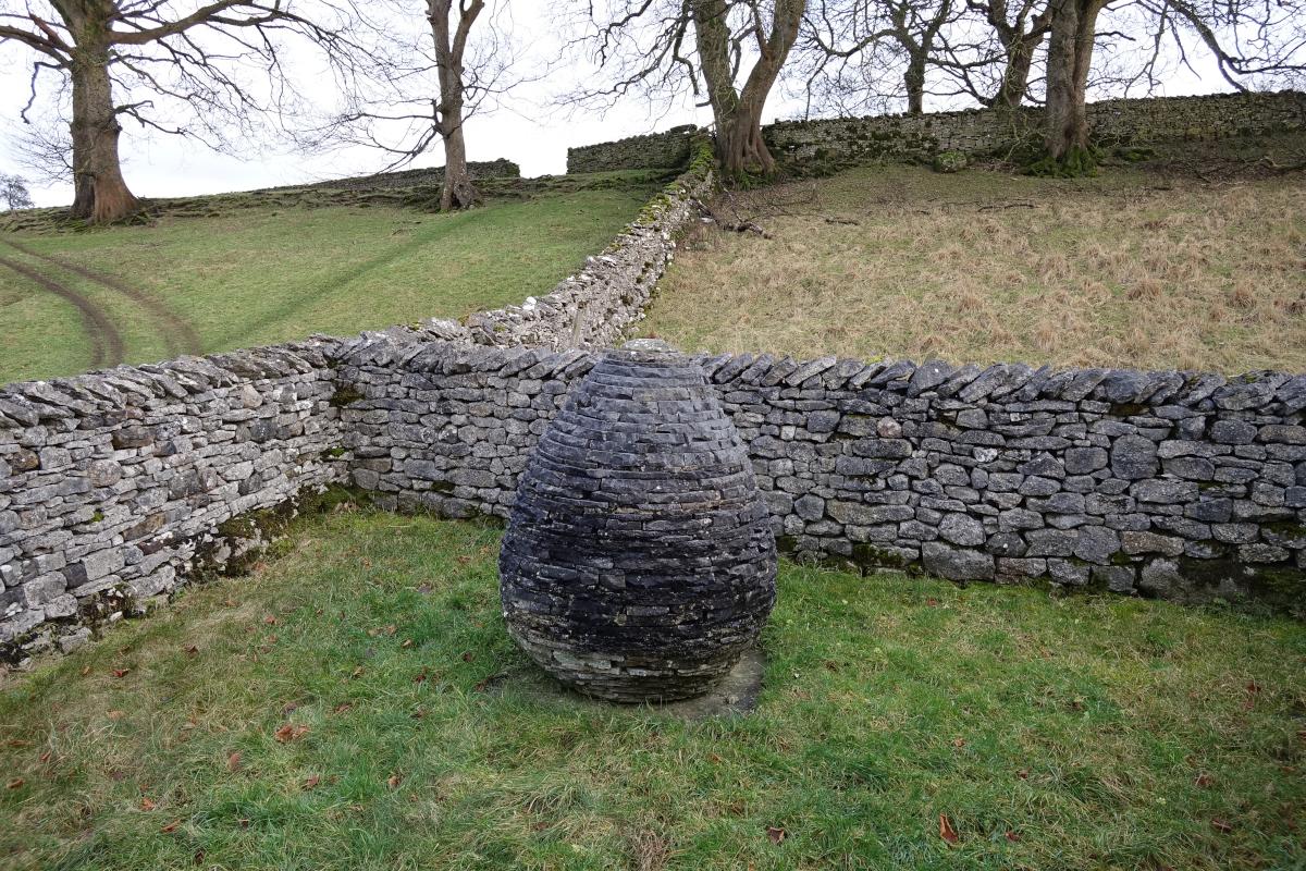
Beside the road on the right you pass Andy Goldsworthy’s Pinfold, a sculpture which includes an egg-shaped stone and symbolises farmers’ roles in protecting the landscape. A pinfold is an enclosure where stray animals were kept and owners would pay “pin money” for their release. On the left is the Butcher’s Arms, a pub that is run by the local community.


Comments: Our rules
We want our comments to be a lively and valuable part of our community - a place where readers can debate and engage with the most important local issues. The ability to comment on our stories is a privilege, not a right, however, and that privilege may be withdrawn if it is abused or misused.
Please report any comments that break our rules.
Read the rules here