
Abbeystead and Dolphinholme walk by John Edmondson
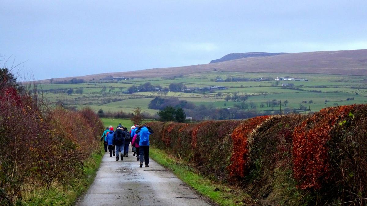
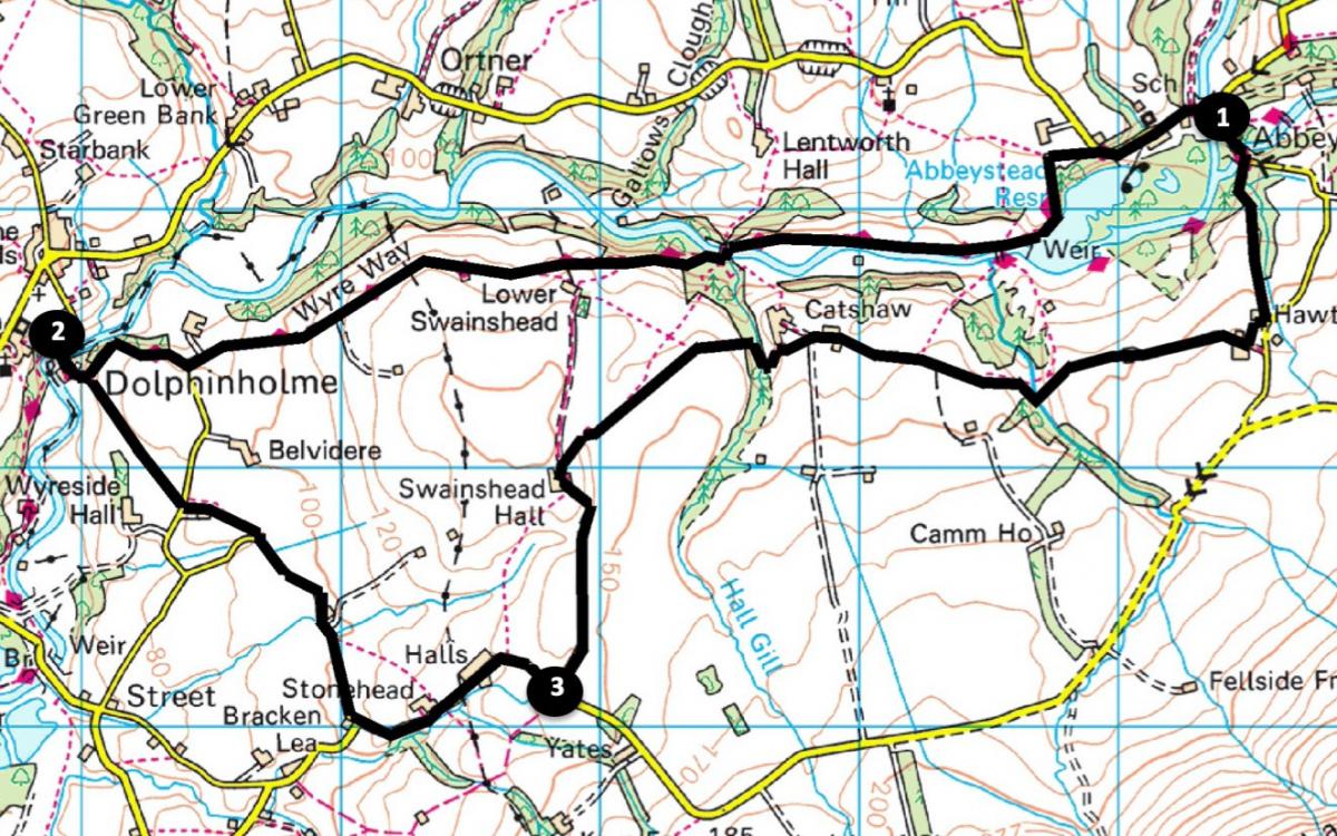
This walk follows the Wyre Way from Abbeystead to Dolphinholme and returns through attractive countryside. It’s a generally easy walk but there are a few steep ascents and descents and it can be muddy in parts. Start from the riverside parking area off Doeholme Rake near Stoops Bridge, Dolphinholme (map reference SD 563 543, postcode LA2 9BQ, ///idea.waistcoat.bolts).
Distance: 8.5 miles with 700 feet of ascent
Time: 4.5 hours
Terrain: Grassy paths and stony tracks.
Map: OS Explorer OL41
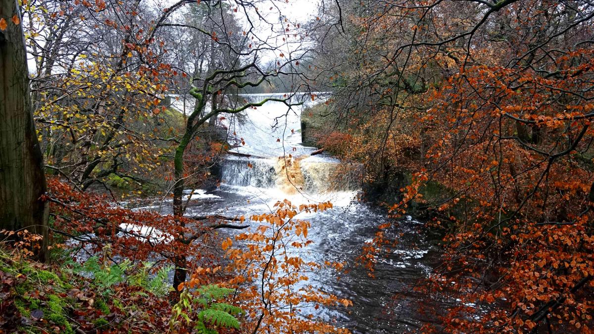
1. Cross the bridge, walk up the road and at the top of the hill turn left over a stile onto a footpath. Turn left onto a concrete road turn and view the magnificent dam and spillway of Abbeystead reservoir. In 1984 a tragic explosion killed 16 people instantly during their visit to a newly constructed installation. A memorial stone is alongside the now unused entrance.
Continue along the north side of the River Wyre for a further 0.7 mile then turn left to cross a footbridge. After 30 yards bear right onto an uphill waymarked path which bends left and makes a steep ascent to the top of the wood. Go through a kissing gate and walk beside the wood on the right then across a meadow, past a waymarker and turn right over a fence stile. Enter Lower Swainshead farmyard, turn right through a metal gate then left around the barn. Go through a gate and past a stone barn. Join a farm track passing Dolphinholme House then turn right onto Wagon Road at a junction signed Wyre Way and descend into Lower Dolphinholme.
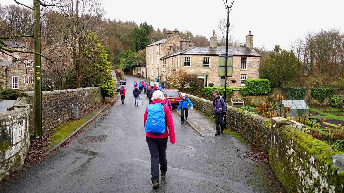
2. The mill at Lower Dolphinholme operated from 1800 to 1887 and employed over a thousand spinners producing wool yarn for mills in Leeds and Bradford. The village was reputed to be the first in England with gas street lighting. Return to a footpath just above Rivers View Fold that you passed earlier and turn right. Cross a field to a stile and footbridge then cross the road over a stile onto a signed footpath.
Keep ahead to cross another stile and footbridge and turn left onto Tinker’s Lane. Keep left and follow the road past a syphon well (part of the Thirlmere aqueduct) then turn left.
3. Follow Waste Lane to Swainshead Hall (home of The Gathering Fields school of permaculture). After the farm turn right through a metal gate onto a waymarked path. Go through a gate beside corrugated sheets then past a lone tree and aim for a house (Catshaw Hall) with a white chimney. Go through a kissing gate, descend into a wooded valley and cross a footbridge over an old stone bridge. Cross two stiles and up past a concrete silo and a new barn to a stile in front of a barn. Turn right onto the concrete track past Catshaw Farm, through two gates and along a farm track. Where the track bends right keep straight on over a stile and descend to cross a footbridge then through a wood and across a stony track.
Descend new steps with handrails, cross a footbridge over Cam Clough and ascend to a metal gate in front of Marl House farm. Walk along the farm track past a long barn then turn left over a fence stile. Descend to the road, turn left, pass a house and turn left onto a path beside Bond Clough, then over a stile beside the fence at the edge of a wood on the right. Cross a stile on the right into the wood, descend to the left of the clough, cross a footbridge and on meeting the road turn left, returning to where the walk began.


Comments: Our rules
We want our comments to be a lively and valuable part of our community - a place where readers can debate and engage with the most important local issues. The ability to comment on our stories is a privilege, not a right, however, and that privilege may be withdrawn if it is abused or misused.
Please report any comments that break our rules.
Read the rules here