
Hutton Roof Crags & Farleton Knott
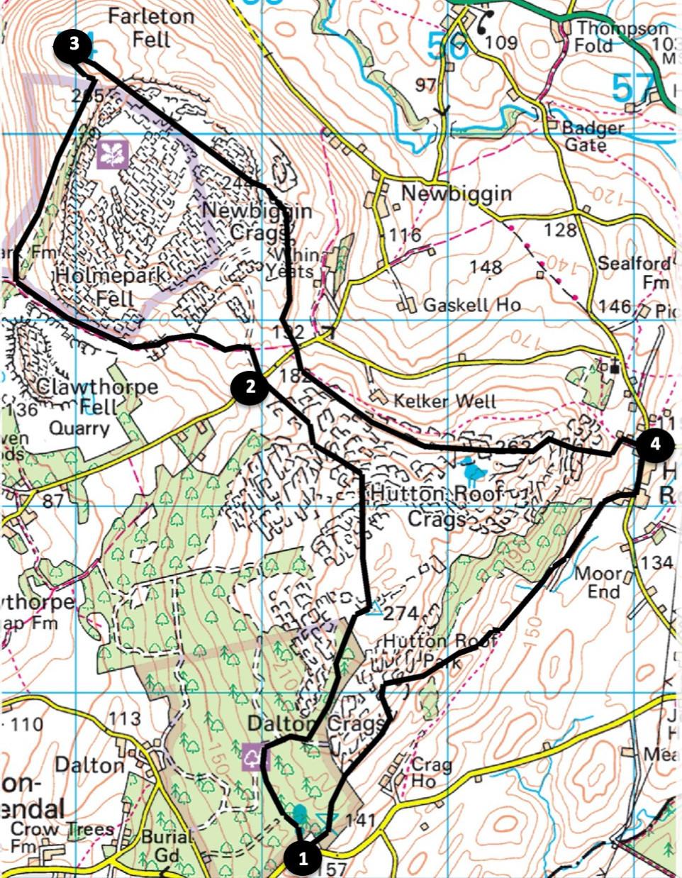
This walk explores Hutton Roof Crags and Farleton Knott, which include some of the best limestone pavement in Britain. The mosaic of woodland, scrub, grassland and heath coupled with splendid views make for an interesting and varied day out. Start from Plain Quarry Car Park, 1.5 miles east of Burton-in-Kendal (grid reference SD 552 761, postcode, what3words: ///dialects.revise.evidently).
Distance: 9 miles with 1400 feet of ascent
Time: 4.5 hours
Terrain: Grass and woodland paths with some difficult rocky sections.
Map: OS Explorer OL7
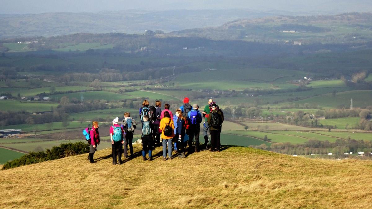
1. Walk through the kissing gate into woodlands at the rear of the car park. Turn left at a junction and right to continue uphill towards a wall on the right. Go through a wicket gate and along a path signed Hutton Roof Crags to the trig point, at 900 feet the highest point of the walk.
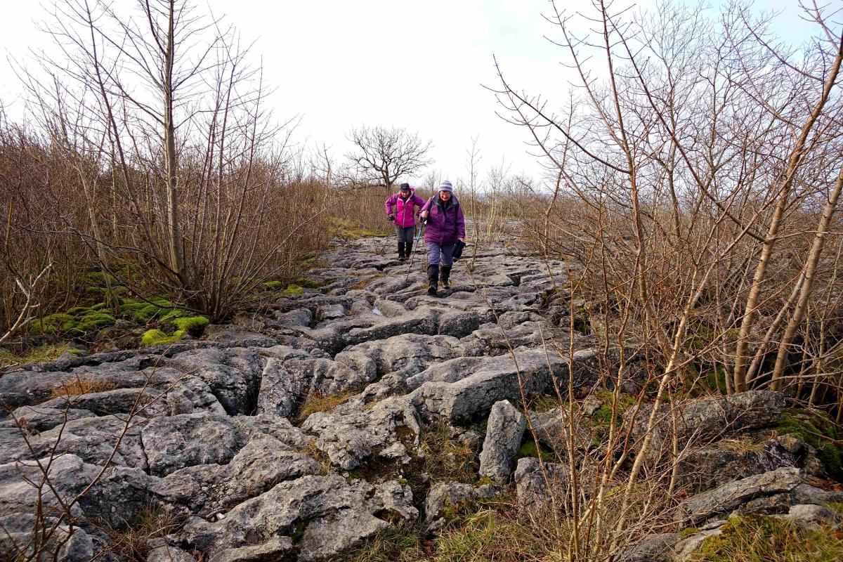
Bear left and descend into woodland along a narrow path and over limestone pavement, being careful stepping over the fissures (known as ‘grykes’) between the slabs (‘clints). Cross an open flat area of scrubland to a large cairn where stones have been placed vertically like gravestones. Walk ahead to a larger path in woodland and turn left. The path descends steadily to an open area with juniper. Holme Park Fell and quarry can be seen ahead. Walk past gorse into woodland again, descend to a kissing gate and cross a lane next to a sign for Whin Yeats Farm.
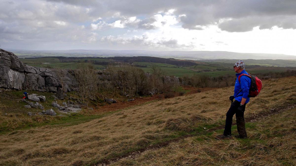
2. Follow the farm track ahead for 130 yards then turn left around a rocky outcrop to go through a gate. Walk across a field along a line of posts to a gate and follow a track towards Holme Park Quarry. Go through a gateway signed NT Holme Park Fell to the right of the quarry and walk along the track on the right of the quarry fence.
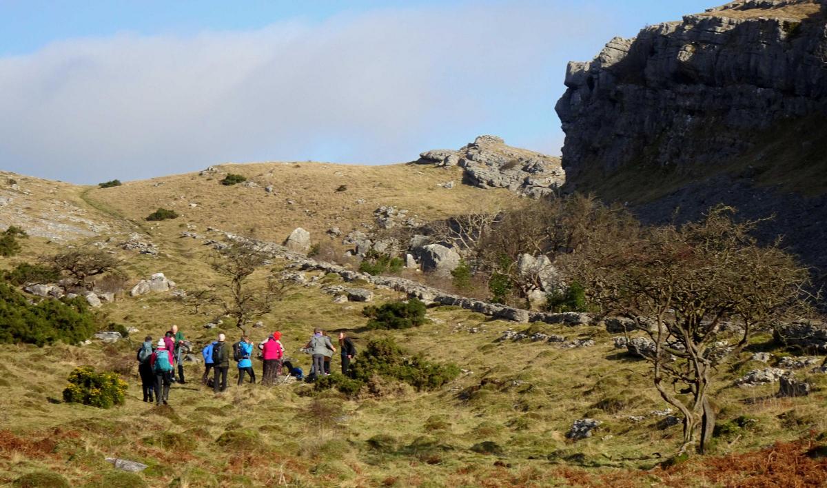
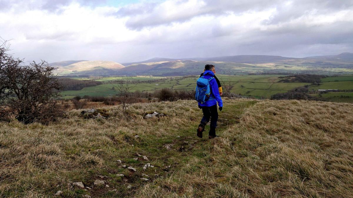
Where the track descends more steeply, just before reaching an animal drinking trough on the left, turn right. Ascend a grassy track parallel to a cliff on the right. Cross a wall stile and turn left onto a grassy path to a spur of fell on the edge of Farleton Knott – a splendid viewpoint.
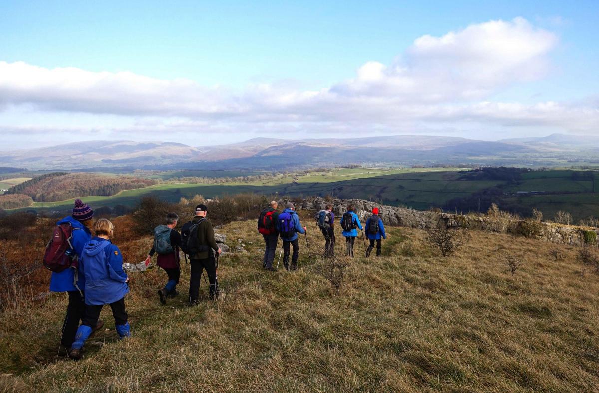
3. Turn back and veer left to go uphill to a summit cairn. Ingleborough is visible in the distance. Walk alongside a wall on the right, through a gate and turn left. The path descends through rocks and swings right, maintaining altitude. At a Y-fork keep left, descend into a bowl then climb out to the right. Continue round to the right along a grassy track.
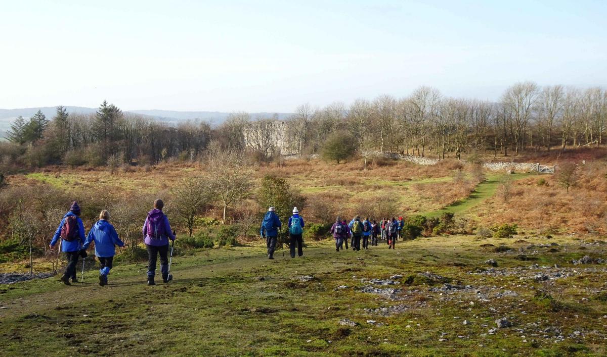
Veer left to a wall and go through a gate in the corner to cross a lane, go through a kissing gate and along the path signed Hutton Roof. The path goes through woodland and ascends to an edge with excellent views to the north. Continue eastwards (either of two paths) and descend to the left of Blasterfoot Gap into Hutton Roof.
4. Turn right, walk along the road through the village then turn right through Lowther Court (a small modern housing estate). Follow the lane ahead, go through a gate with a waymarker, cross a wall/ladder stile and continue along a grassy path. Bear right to ascend a shallow valley.
Cross a tricky wall stile then climb steeply to meet a crossing with a larger path. Turn left, go over a ladder stile and head for the woods ahead. Go through the woods along a path leading to the car park where the walk began.


Comments: Our rules
We want our comments to be a lively and valuable part of our community - a place where readers can debate and engage with the most important local issues. The ability to comment on our stories is a privilege, not a right, however, and that privilege may be withdrawn if it is abused or misused.
Please report any comments that break our rules.
Read the rules here