

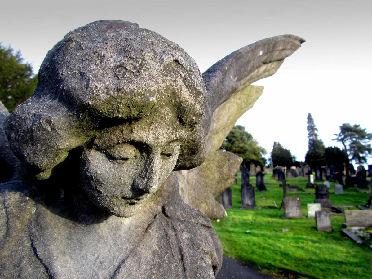
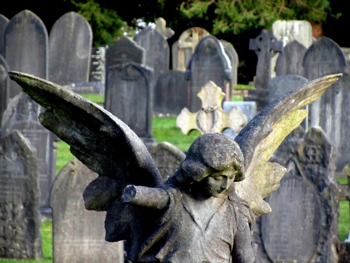
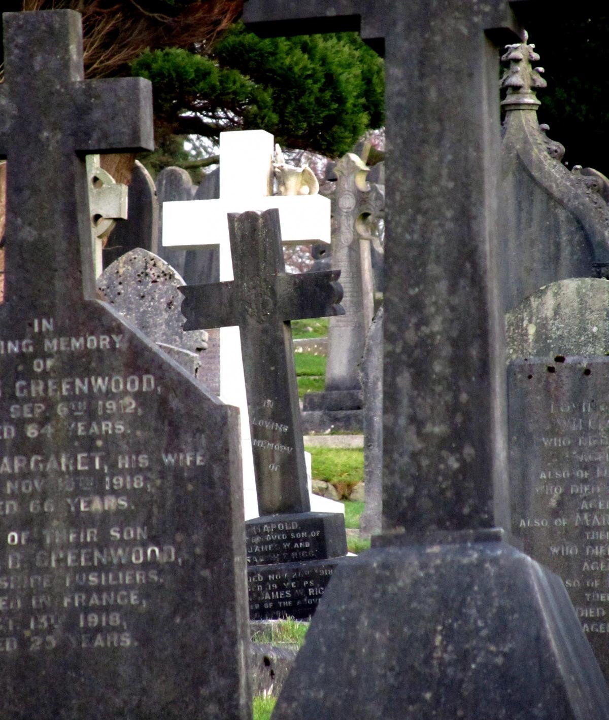
AERIAL drones are to be used to map all Cumbria's graveyards in a UK 'first'.
Eden-based Atlantic Geomatics is launching the innovative project to help burial site planning and enable people to find graves more easily.
The work will be carried out by Atlantic Geomatics, based near Penrith, and follows grants of more than £100,000.
MORE TOP STORIES:
Images taken by the drones will be combined with high-resolution photographs of headstones and handwritten records going back hundreds of years,
The Diocese of Carlisle has been involved in the project and the first detailed survey will take place in Dalston, north Cumbria.
Atlantic Geomatics said the maps would show how much space remains to help local authorities plan for the future.
It aims to map 'all the burial grounds in Cumbria during the next couple of years' and the project would eventually be rolled out across the UK.
Tim Viney, managing director of Atlantic Geomatics, said he developed the idea after struggling to find a person's grave.
"There are an estimated 15,000 burial grounds in the UK and we will be working very hard to help as many of them as we can to have the best records possible," he said.
"The support of customers and of Innovus has been vital to getting this project ready to roll out in under 12 months."
Funding has come from Innovus, which aims to help Cumbrian businesses develop new technologies.
Manager Adrian Davis-Johnston said he saw the potential of the idea immediately it was pitched.
"I'm a keen genealogist myself and had recently dragged my family round the graveyards of Cornwall looking for a great grandparent's grave," he said. "Atlantic Geomatics have quickly engineered a total product that will work for a number of customers at the same time, and Innovus is excited to be investing in a project that will create tens of new jobs in the county."


Comments: Our rules
We want our comments to be a lively and valuable part of our community - a place where readers can debate and engage with the most important local issues. The ability to comment on our stories is a privilege, not a right, however, and that privilege may be withdrawn if it is abused or misused.
Please report any comments that break our rules.
Read the rules here